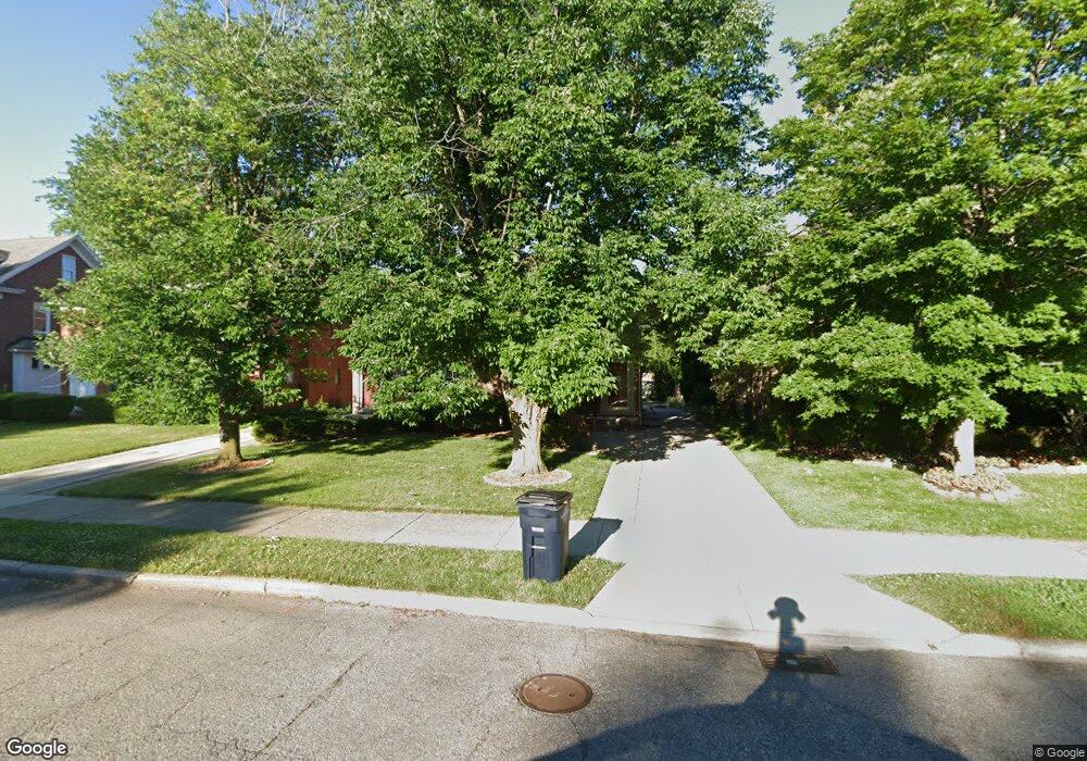
393 Neff Rd Grosse Pointe, MI 48230
Estimated Value: $468,834 - $580,000
4
Beds
4
Baths
2,694
Sq Ft
$193/Sq Ft
Est. Value
About This Home
This home is located at 393 Neff Rd, Grosse Pointe, MI 48230 and is currently estimated at $520,709, approximately $193 per square foot. 393 Neff Rd is a home located in Wayne County with nearby schools including Lewis Maire Elementary School, Pierce Middle School, and Grosse Pointe South High School.
Ownership History
Date
Name
Owned For
Owner Type
Purchase Details
Closed on
Jan 28, 2003
Sold by
Savage Dorothy and Dorothy Savage Living Trust
Bought by
Bloink Jimmie
Current Estimated Value
Purchase Details
Closed on
Aug 15, 1994
Sold by
Donna L Hildebrandt
Bought by
Dorothy Savage
Home Financials for this Owner
Home Financials are based on the most recent Mortgage that was taken out on this home.
Original Mortgage
$144,000
Interest Rate
8.72%
Mortgage Type
New Conventional
Create a Home Valuation Report for This Property
The Home Valuation Report is an in-depth analysis detailing your home's value as well as a comparison with similar homes in the area
Home Values in the Area
Average Home Value in this Area
Purchase History
| Date | Buyer | Sale Price | Title Company |
|---|---|---|---|
| Bloink Jimmie | $335,000 | Capital Title Ins Agency | |
| Dorothy Savage | $180,000 | -- |
Source: Public Records
Mortgage History
| Date | Status | Borrower | Loan Amount |
|---|---|---|---|
| Previous Owner | Dorothy Savage | $144,000 |
Source: Public Records
Tax History
| Year | Tax Paid | Tax Assessment Tax Assessment Total Assessment is a certain percentage of the fair market value that is determined by local assessors to be the total taxable value of land and additions on the property. | Land | Improvement |
|---|---|---|---|---|
| 2025 | $4,505 | $224,600 | $0 | $0 |
| 2024 | $4,354 | $216,600 | $0 | $0 |
| 2023 | $4,152 | $210,000 | $0 | $0 |
| 2022 | $7,610 | $190,600 | $0 | $0 |
| 2021 | $7,410 | $177,200 | $0 | $0 |
| 2019 | $7,293 | $160,700 | $0 | $0 |
| 2018 | $3,604 | $138,100 | $0 | $0 |
| 2017 | $6,261 | $136,500 | $0 | $0 |
| 2016 | $6,604 | $129,800 | $0 | $0 |
| 2015 | $10,285 | $121,400 | $0 | $0 |
| 2013 | $9,964 | $104,400 | $0 | $0 |
| 2012 | -- | $97,300 | $0 | $0 |
Source: Public Records
Map
Nearby Homes
- 379 Lakeland St
- 320 Neff Rd
- 386 Notre Dame St
- 42 Cranford Ln
- 516 Neff Ln
- 47 Cranford Ln
- 30 Cranford Ln
- 296 Rivard Blvd
- 345 Roosevelt Place
- 25 Village Ln
- 16761 E Jefferson Ave
- 10 Sycamore Ln
- 1030 Bishop Rd
- 277 Lincoln Rd
- 4 Cameron Place
- 17680 E Jefferson Ave
- 612 Cadieux Rd
- 355 Lincoln Rd
- 29 Fisher Rd
- 11 Dodge Place
Your Personal Tour Guide
Ask me questions while you tour the home.