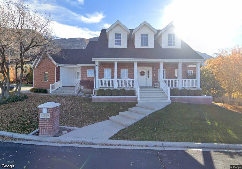
3932 Quail Summit Dr Provo, UT 84604
Rock Canyon NeighborhoodEstimated Value: $1,049,000 - $1,161,379
4
Beds
3
Baths
3,528
Sq Ft
$312/Sq Ft
Est. Value
About This Home
This home is located at 3932 Quail Summit Dr, Provo, UT 84604 and is currently estimated at $1,099,460, approximately $311 per square foot. 3932 Quail Summit Dr is a home located in Utah County with nearby schools including Edgemont School, Centennial Middle School, and Timpview High School.
Ownership History
Date
Name
Owned For
Owner Type
Purchase Details
Closed on
Feb 17, 2010
Sold by
Bunting John A and Bunting Shelby W
Bought by
Bunting Shelby Walton and Bunting John Alan
Current Estimated Value
Purchase Details
Closed on
May 17, 2004
Sold by
Boshard Russell and Boshard Rebecca
Bought by
Bunting John A and Bunting Shelby W
Home Financials for this Owner
Home Financials are based on the most recent Mortgage that was taken out on this home.
Original Mortgage
$300,000
Outstanding Balance
$134,398
Interest Rate
4.87%
Mortgage Type
Purchase Money Mortgage
Estimated Equity
$965,062
Purchase Details
Closed on
May 14, 1998
Sold by
Pearson Gregory P
Bought by
Pearson Paula
Home Financials for this Owner
Home Financials are based on the most recent Mortgage that was taken out on this home.
Original Mortgage
$41,110
Interest Rate
7.13%
Create a Home Valuation Report for This Property
The Home Valuation Report is an in-depth analysis detailing your home's value as well as a comparison with similar homes in the area
Home Values in the Area
Average Home Value in this Area
Purchase History
| Date | Buyer | Sale Price | Title Company |
|---|---|---|---|
| Bunting Shelby Walton | -- | None Available | |
| Bunting John A | -- | Title West Title Company | |
| Pearson Paula | -- | -- |
Source: Public Records
Mortgage History
| Date | Status | Borrower | Loan Amount |
|---|---|---|---|
| Open | Bunting John A | $300,000 | |
| Previous Owner | Pearson Paula | $41,110 |
Source: Public Records
Tax History
| Year | Tax Paid | Tax Assessment Tax Assessment Total Assessment is a certain percentage of the fair market value that is determined by local assessors to be the total taxable value of land and additions on the property. | Land | Improvement |
|---|---|---|---|---|
| 2025 | $6,083 | $578,435 | -- | -- |
| 2024 | $6,083 | $598,730 | $0 | $0 |
| 2023 | $5,545 | $538,120 | $0 | $0 |
| 2022 | $6,345 | $620,840 | $0 | $0 |
| 2021 | $4,988 | $851,300 | $238,200 | $613,100 |
| 2020 | $5,052 | $808,200 | $207,100 | $601,100 |
| 2019 | $4,413 | $734,200 | $207,100 | $527,100 |
| 2018 | $4,085 | $689,300 | $202,400 | $486,900 |
| 2017 | $3,771 | $349,690 | $0 | $0 |
| 2016 | $3,405 | $294,250 | $0 | $0 |
| 2015 | $3,280 | $286,495 | $0 | $0 |
| 2014 | $2,843 | $258,885 | $0 | $0 |
Source: Public Records
Map
Nearby Homes
- 3702 N 920 E
- 3943 Foothill Dr
- 981 Waterford Dr Unit 5&6
- 3726 Devonshire Dr
- 4299 Ivy Ln
- 3442 Navajo Ln
- 3411 N Piute Dr
- 528 E 3750 N
- 407 E 3900 Rd N Unit 1
- 407 E 3900 Rd N
- 924 Redford Dr
- 3711 N Canyon Rd
- 3690 N Canyon Rd
- 4529 Windsor Dr
- 299 E 4000 N
- 4601 Foothill Dr
- 4161 N Canyon Rd Unit 2
- 5600 N Canyon Rd
- 3129 Cherokee Ln
- 4640 Brookshire Cir
- 3932 Quail Summit Dr
- 3898 Quail Summit Dr
- 1012 Quail Summit Dr
- 3963 Quail Ridge Dr
- 1044 Quail Summit Dr
- 3972 Quail Ridge Dr
- 3763 N 1020 E
- 3865 Quail Run
- 3983 Quail Ridge Dr
- 3762 N 1020 E
- 3992 Quail Ridge Dr
- 1070 Quail Summit Dr
- 3738 N 970 E
- 1045 Quail Summit Dr
- 3751 N 1020 E
- 1112 Quail Summit Dr
- 3750 N 1020 E
- 4003 Quail Ridge Dr
- 3961 Quail Run
- 1071 Quail Summit Dr
Your Personal Tour Guide
Ask me questions while you tour the home.