Estimated Value: $860,000 - $974,224
3
Beds
2
Baths
2,660
Sq Ft
$345/Sq Ft
Est. Value
About This Home
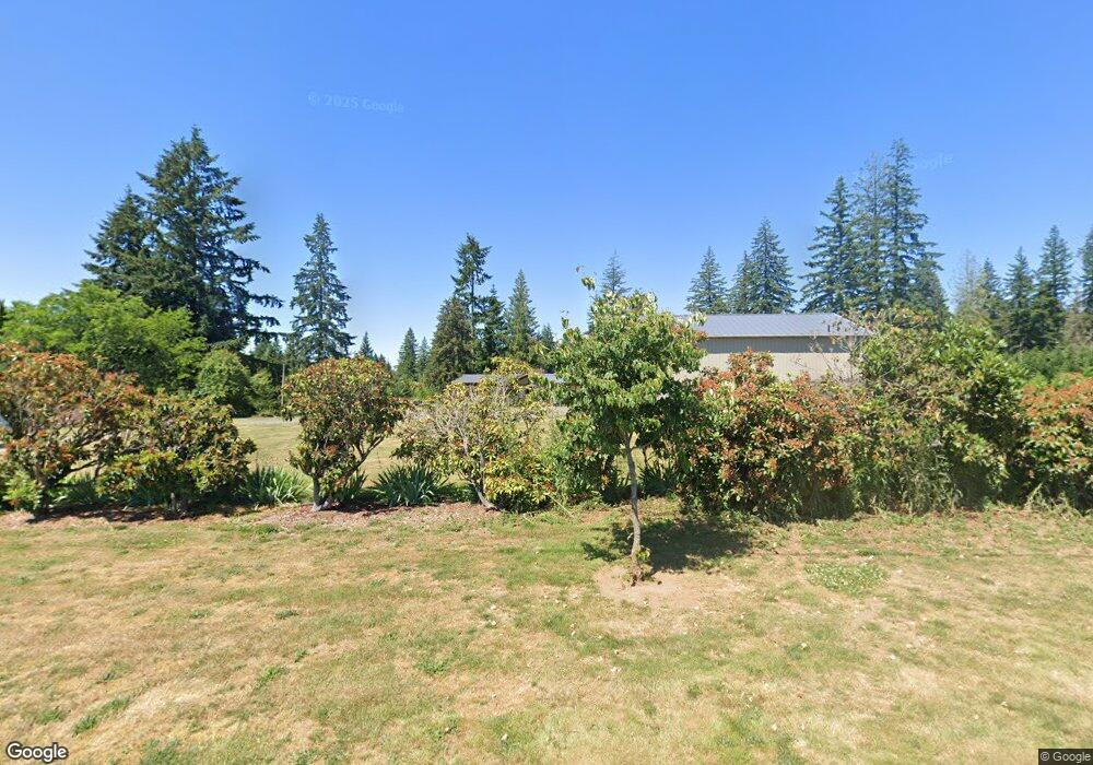
This home is located at 39335 SE Paul Moore Rd, Sandy, OR 97055 and is currently estimated at $917,556, approximately $344 per square foot. 39335 SE Paul Moore Rd is a home located in Clackamas County with nearby schools including Firwood Elementary School, Cedar Ridge Middle School, and Sandy High School.
Ownership History
Date
Name
Owned For
Owner Type
Purchase Details
Closed on
Oct 19, 2015
Sold by
Kb Management Llc
Bought by
Kent Erik P and Kent Lydia J
Current Estimated Value
Home Financials for this Owner
Home Financials are based on the most recent Mortgage that was taken out on this home.
Original Mortgage
$348,000
Outstanding Balance
$272,401
Interest Rate
3.73%
Mortgage Type
New Conventional
Estimated Equity
$645,155
Purchase Details
Closed on
Sep 2, 2005
Sold by
Aubin Mildan L
Bought by
Kb Management Llc
Home Financials for this Owner
Home Financials are based on the most recent Mortgage that was taken out on this home.
Original Mortgage
$255,000
Interest Rate
5.7%
Mortgage Type
Purchase Money Mortgage
Purchase Details
Closed on
May 6, 2004
Sold by
Aubin Mildan L and Aubin Eleanor G
Bought by
Mildan L Aubin Revocable Living Trust
Create a Home Valuation Report for This Property
The Home Valuation Report is an in-depth analysis detailing your home's value as well as a comparison with similar homes in the area
Home Values in the Area
Average Home Value in this Area
Purchase History
| Date | Buyer | Sale Price | Title Company |
|---|---|---|---|
| Kent Erik P | $435,000 | First American | |
| Kb Management Llc | $425,000 | First American Title Insuran | |
| Mildan L Aubin Revocable Living Trust | -- | -- |
Source: Public Records
Mortgage History
| Date | Status | Borrower | Loan Amount |
|---|---|---|---|
| Open | Kent Erik P | $348,000 | |
| Previous Owner | Kb Management Llc | $255,000 |
Source: Public Records
Tax History Compared to Growth
Tax History
| Year | Tax Paid | Tax Assessment Tax Assessment Total Assessment is a certain percentage of the fair market value that is determined by local assessors to be the total taxable value of land and additions on the property. | Land | Improvement |
|---|---|---|---|---|
| 2024 | $4,336 | $318,115 | -- | -- |
| 2023 | $4,336 | $308,857 | $0 | $0 |
| 2022 | $4,094 | $299,858 | $0 | $0 |
| 2021 | $3,952 | $291,110 | $0 | $0 |
| 2020 | $3,843 | $282,625 | $0 | $0 |
| 2019 | $3,833 | $274,397 | $0 | $0 |
| 2018 | $3,473 | $248,446 | $0 | $0 |
| 2017 | $3,281 | $232,833 | $0 | $0 |
| 2016 | $3,167 | $226,065 | $0 | $0 |
| 2015 | $3,079 | $219,466 | $0 | $0 |
| 2014 | $3,002 | $213,089 | $0 | $0 |
Source: Public Records
Map
Nearby Homes
- 40133 SE Allgeier Rd
- 40801 SE Trubel Rd
- 38859 Jerger St
- 38409 Juniper St
- 22035 SE Firwood Rd
- 37996 Juniper St
- 19257 Oak Ave
- 39665 SE Rude Rd
- 37999 Juniper St
- 19017 Wellesley Ave
- 38581 Limerick St
- 19135 SE Village Blvd
- 37945 Cascadia Village Dr
- 19003 Village Blvd
- 18712 Cloud Cap Ave
- 37833 Killarney St
- 37821 Kilarney St
- 18653 Van Fleet Ave
- 39584 Wall St
- 39784 Syblon Ln
- 39525 SE Paul Moore Rd
- 39285 SE Paul Moore Rd
- 21768 SE Bornstedt Rd
- 21601 SE Bornstedt Rd
- 21860 SE Bornstedt Rd
- 21800 SE Bornstedt Rd
- 21565 SE Bornstedt Rd
- 21920 SE Bornstedt Rd
- 21545 SE Bornstedt Rd
- 21525 SE Bornstedt Rd
- 39586 SE Trubel Rd
- 21510 SE Bornstedt Rd
- 21430 SE Bornstedt Rd
- 21875 SE Bornstedt Rd
- 20700 SE Bogle Rd
- 20695 SE Langensand Rd
- 38640 SE Boitano Rd
- 21070 SE Bornstedt Rd
- 39696 SE Trubel Rd
- 38580 SE Boitano Rd