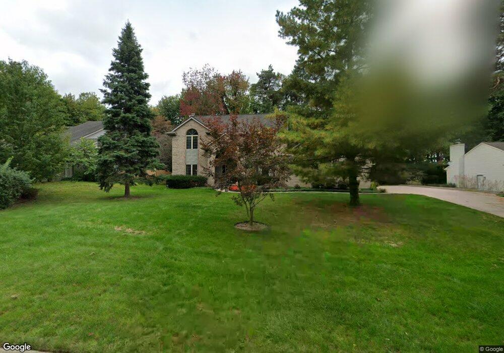
3936 White Pine Dr Dewitt, MI 48820
Estimated Value: $460,573 - $497,000
3
Beds
3
Baths
2,441
Sq Ft
$193/Sq Ft
Est. Value
About This Home
This home is located at 3936 White Pine Dr, Dewitt, MI 48820 and is currently estimated at $470,643, approximately $192 per square foot. 3936 White Pine Dr is a home located in Clinton County with nearby schools including Schavey Road Elementary School, Herbison Woods Elementary School, and Scott Elementary School.
Ownership History
Date
Name
Owned For
Owner Type
Purchase Details
Closed on
Aug 12, 2009
Sold by
Thompson Robert Ray and Thompson Evelyn Marie
Bought by
Vue Chong and Chang Mailee
Current Estimated Value
Home Financials for this Owner
Home Financials are based on the most recent Mortgage that was taken out on this home.
Original Mortgage
$217,710
Outstanding Balance
$62,637
Interest Rate
5.36%
Mortgage Type
Purchase Money Mortgage
Estimated Equity
$408,006
Create a Home Valuation Report for This Property
The Home Valuation Report is an in-depth analysis detailing your home's value as well as a comparison with similar homes in the area
Home Values in the Area
Average Home Value in this Area
Purchase History
| Date | Buyer | Sale Price | Title Company |
|---|---|---|---|
| Vue Chong | $241,900 | Tri County Title Agency Llc |
Source: Public Records
Mortgage History
| Date | Status | Borrower | Loan Amount |
|---|---|---|---|
| Open | Vue Chong | $217,710 |
Source: Public Records
Tax History
| Year | Tax Paid | Tax Assessment Tax Assessment Total Assessment is a certain percentage of the fair market value that is determined by local assessors to be the total taxable value of land and additions on the property. | Land | Improvement |
|---|---|---|---|---|
| 2025 | $6,048 | $225,300 | $29,100 | $196,200 |
| 2024 | $32 | $202,100 | $27,600 | $174,500 |
| 2023 | $3,582 | $188,200 | $0 | $0 |
| 2022 | $5,423 | $173,100 | $23,500 | $149,600 |
| 2021 | $5,270 | $165,900 | $22,200 | $143,700 |
| 2020 | $5,137 | $160,100 | $21,600 | $138,500 |
| 2019 | $4,295 | $132,100 | $20,000 | $112,100 |
| 2018 | $4,098 | $126,900 | $19,900 | $107,000 |
| 2017 | $4,042 | $124,400 | $19,500 | $104,900 |
| 2016 | $4,005 | $116,800 | $17,900 | $98,900 |
| 2015 | $4,000 | $114,400 | $0 | $0 |
| 2011 | -- | $101,400 | $0 | $0 |
Source: Public Records
Map
Nearby Homes
- 13624 Sienna Pass
- 00 Driftwood Dr
- 0 Driftwood Dr
- 3421 Hawthorne Woods Pkwy
- 4083 W Herbison Rd
- 3783 Wisteria Ln
- 3893 Sage Ln
- 1306 Schavey Rd
- 13894 Luroma Cir
- 1316 W Geneva Dr
- 1226 S Geneva Dr
- 1605 Stauffer Ln
- 13871 Kaleidoscope Dr
- 13865 Kaleidoscope Dr
- 3522 Ramsgate Dr
- 2407 W Clark Rd
- 603 Cherry St
- 3343 Silverspring Dr
- 11740 Kalamata Dr
- 3407 Hidden Ridge Dr
- 3942 White Pine Dr
- 3900 White Pine Dr
- 3935 Norway Pine Dr
- 3945 White
- 3901 Norway Pine Dr
- 3948 White Pine Dr
- 13300 White Pine Dr
- 13285 White
- 13136 White
- 3894 White Pine Dr
- 3941 Norway Pine Dr
- 3939 White Pine Dr
- 3945 White Pine Dr
- 3941 Norway
- 13291 White Pine Dr
- 3891 Norway Pine Dr
- 3952 White Pine Dr
- 13286 White Pine Dr
- 3953 White Pine Dr
- 3938 Norway
Your Personal Tour Guide
Ask me questions while you tour the home.