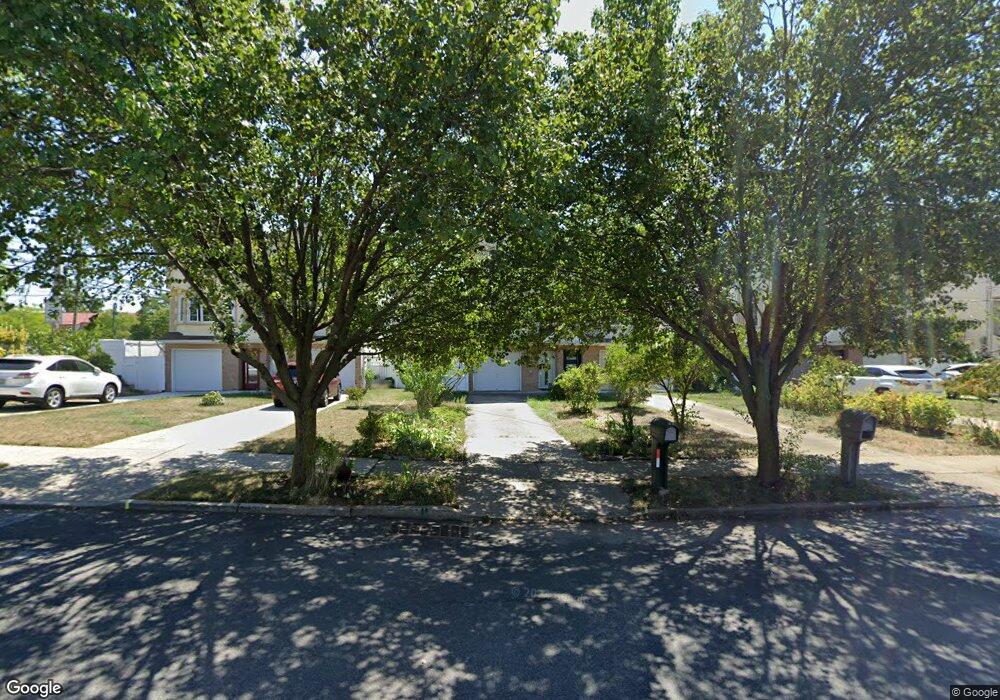
394 Patterson Ave Staten Island, NY 10305
Ocean Breeze NeighborhoodEstimated Value: $653,302 - $757,000
--
Bed
4
Baths
1,232
Sq Ft
$568/Sq Ft
Est. Value
About This Home
This home is located at 394 Patterson Ave, Staten Island, NY 10305 and is currently estimated at $699,326, approximately $567 per square foot. 394 Patterson Ave is a home located in Richmond County with nearby schools including P.S. 052 John C. Thompson, Is 2 George L Egbert, and New Dorp High School.
Ownership History
Date
Name
Owned For
Owner Type
Purchase Details
Closed on
Mar 23, 2004
Sold by
Paterson Development Ii Llc
Bought by
Volchok Edward and Poludnenko Irina
Current Estimated Value
Home Financials for this Owner
Home Financials are based on the most recent Mortgage that was taken out on this home.
Original Mortgage
$229,900
Interest Rate
6.25%
Mortgage Type
Purchase Money Mortgage
Create a Home Valuation Report for This Property
The Home Valuation Report is an in-depth analysis detailing your home's value as well as a comparison with similar homes in the area
Home Values in the Area
Average Home Value in this Area
Purchase History
| Date | Buyer | Sale Price | Title Company |
|---|---|---|---|
| Volchok Edward | $385,219 | -- |
Source: Public Records
Mortgage History
| Date | Status | Borrower | Loan Amount |
|---|---|---|---|
| Previous Owner | Volchok Edward | $229,900 |
Source: Public Records
Tax History Compared to Growth
Tax History
| Year | Tax Paid | Tax Assessment Tax Assessment Total Assessment is a certain percentage of the fair market value that is determined by local assessors to be the total taxable value of land and additions on the property. | Land | Improvement |
|---|---|---|---|---|
| 2025 | $4,613 | $38,640 | $3,216 | $35,424 |
| 2024 | $4,625 | $33,480 | $3,712 | $29,768 |
| 2023 | $4,627 | $24,181 | $3,289 | $20,892 |
| 2022 | $4,267 | $30,480 | $5,100 | $25,380 |
| 2021 | $4,226 | $30,480 | $5,100 | $25,380 |
| 2020 | $4,002 | $29,640 | $5,100 | $24,540 |
| 2019 | $3,955 | $32,160 | $5,100 | $27,060 |
| 2018 | $3,810 | $20,151 | $3,629 | $16,522 |
| 2017 | $3,576 | $19,011 | $4,000 | $15,011 |
| 2016 | $3,276 | $17,935 | $5,098 | $12,837 |
| 2015 | $2,942 | $16,920 | $4,260 | $12,660 |
| 2014 | $2,942 | $16,920 | $4,260 | $12,660 |
Source: Public Records
Map
Nearby Homes
- 431 Patterson Ave
- 0 Quincy Ave
- 558 Dongan Hills Ave Unit 14A2
- 568 Dongan Hills Ave Unit 19A1
- 762 Seaview Ave
- 519 Buel Ave
- 517 Buel Ave
- 498 Dongan Hills Ave
- 473 Dongan Hills Ave
- 467 Dongan Hills Ave
- 795 Father Capodanno Blvd
- 797 Father Capodanno Blvd
- 799 Father Capodanno Blvd
- 45 Iona St
- 228 Slater Blvd
- 424 Cromwell Ave
- 9 Iroquois St
- 0 Seaview Ave
- 422 Cromwell Ave
- 188 Graham Blvd Unit B
- 392 Patterson Ave
- 396 Patterson Ave
- 390 Patterson Ave
- 398 Patterson Ave
- 640 Seaview Ave
- 642 Seaview Ave
- 400 Patterson Ave
- 644 Seaview Ave
- 402 Patterson Ave
- 640-711 Liberty Ave
- 642-711 Liberty Ave
- 646 Seaview Ave
- 404 Patterson Ave
- 646-711 Liberty Ave
- 642 Liberty Ave
- 648-711 Liberty Ave
- 650 Seaview Ave
- 640 Liberty Ave
- 650-706 Liberty Ave
- 652 Seaview Ave