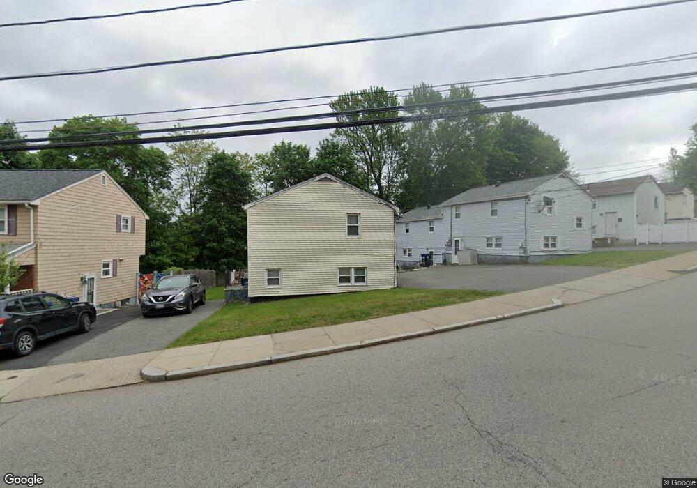
394 Poplar St Unit 394A Roslindale, MA 02131
Roslindale NeighborhoodEstimated Value: $867,000 - $1,061,470
6
Beds
4
Baths
2,392
Sq Ft
$397/Sq Ft
Est. Value
About This Home
This home is located at 394 Poplar St Unit 394A, Roslindale, MA 02131 and is currently estimated at $949,368, approximately $396 per square foot. 394 Poplar St Unit 394A is a home located in Suffolk County with nearby schools including Brooke Charter School Roslindale, Sacred Heart STEM School, and St. Clare High School.
Ownership History
Date
Name
Owned For
Owner Type
Purchase Details
Closed on
May 9, 2023
Sold by
Dunlap Deborah A
Bought by
Deborah A Dunlap Ft
Current Estimated Value
Purchase Details
Closed on
Aug 14, 2001
Sold by
Keller James A
Bought by
Dunlap Deborah A
Purchase Details
Closed on
Oct 16, 1997
Sold by
Omalley Charles J
Bought by
Keller James A
Create a Home Valuation Report for This Property
The Home Valuation Report is an in-depth analysis detailing your home's value as well as a comparison with similar homes in the area
Home Values in the Area
Average Home Value in this Area
Purchase History
| Date | Buyer | Sale Price | Title Company |
|---|---|---|---|
| Deborah A Dunlap Ft | -- | None Available | |
| Dunlap Deborah A | $295,000 | -- | |
| Keller James A | $85,000 | -- |
Source: Public Records
Mortgage History
| Date | Status | Borrower | Loan Amount |
|---|---|---|---|
| Previous Owner | Keller James A | $365,000 | |
| Previous Owner | Keller James A | $15,826 | |
| Previous Owner | Keller James A | $328,000 |
Source: Public Records
Tax History Compared to Growth
Tax History
| Year | Tax Paid | Tax Assessment Tax Assessment Total Assessment is a certain percentage of the fair market value that is determined by local assessors to be the total taxable value of land and additions on the property. | Land | Improvement |
|---|---|---|---|---|
| 2025 | $8,394 | $724,900 | $239,100 | $485,800 |
| 2024 | $7,882 | $723,100 | $243,000 | $480,100 |
| 2023 | $7,466 | $695,200 | $233,600 | $461,600 |
| 2022 | $6,876 | $632,000 | $212,400 | $419,600 |
| 2021 | $6,611 | $619,600 | $208,200 | $411,400 |
| 2020 | $5,350 | $506,600 | $187,400 | $319,200 |
| 2019 | $5,038 | $478,000 | $151,400 | $326,600 |
| 2018 | $4,726 | $451,000 | $151,400 | $299,600 |
| 2017 | $635 | $442,000 | $151,400 | $290,600 |
| 2016 | $4,501 | $409,200 | $151,400 | $257,800 |
| 2015 | $4,035 | $333,200 | $136,700 | $196,500 |
| 2014 | $3,794 | $301,600 | $136,700 | $164,900 |
Source: Public Records
Map
Nearby Homes
- 415 Poplar St
- 417 Poplar St
- 273 Metropolitan Ave Unit 2
- 25 Pinedale Rd Unit 1
- 15 Cornell St
- 16 Hilburn Place
- 142 Metropolitan Ave Unit A
- 25 Crandall St
- 75 Glendower Rd
- 89 Glendower Rd
- 4 Rowe Ct
- 5 7 Hemman St
- 69 Metropolitan Ave
- 67 Hautevale St
- 124 Glendower Rd Unit 2
- 55 Metropolitan Ave
- 543 Hyde Park Ave Unit 1
- 23 Weeks Ave
- 175 Clare Ave Unit B3
- 27 Rowe St
- 396 Poplar St Unit 396A
- 392 Poplar St
- 398A Poplar St Unit A
- 398 Poplar St Unit 398A
- 398 Poplar St
- 398 Poplar St Unit 1
- 390 Poplar St
- 400 Poplar St Unit 400A
- 388 Poplar St
- 391 Poplar St
- 6 Planet St Unit 2
- 24 Planet St Unit 8
- 16 Planet St Unit 4
- 24 Planet St
- 20 Planet St
- 18 Planet St
- 16 Planet St
- 14 Planet St
- 6 Planet St
- 4 Planet St