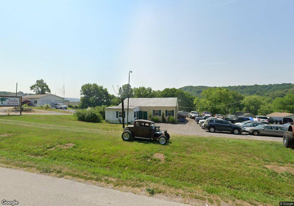
3940 Old State Route 21 Imperial, MO 63052
Estimated Value: $172,721
Studio
1
Bath
1,592
Sq Ft
$108/Sq Ft
Est. Value
About This Home
This home is located at 3940 Old State Route 21, Imperial, MO 63052 and is currently estimated at $172,721, approximately $108 per square foot. 3940 Old State Route 21 is a home located in Jefferson County with nearby schools including Clyde Hamrick Elementary School, Antonia Middle School, and Seckman Senior High School.
Ownership History
Date
Name
Owned For
Owner Type
Purchase Details
Closed on
May 28, 2010
Sold by
The Cynthia D Davis Revocable Living Tru
Bought by
Fox Jeffrey E
Current Estimated Value
Purchase Details
Closed on
Apr 29, 2008
Sold by
Davis Cynthia D
Bought by
Livi Davis Cynthia D and Livi Cynthia D Davis Revocable
Purchase Details
Closed on
Jun 13, 1997
Sold by
Potts Homer W and Potts Betty L
Bought by
Davis Ross A and Davis Cynthia D
Create a Home Valuation Report for This Property
The Home Valuation Report is an in-depth analysis detailing your home's value as well as a comparison with similar homes in the area
Home Values in the Area
Average Home Value in this Area
Purchase History
| Date | Buyer | Sale Price | Title Company |
|---|---|---|---|
| Fox Jeffrey E | -- | Investors Title Co | |
| Livi Davis Cynthia D | -- | None Available | |
| Davis Ross A | -- | Hillsboro Title Company Inc |
Source: Public Records
Tax History
| Year | Tax Paid | Tax Assessment Tax Assessment Total Assessment is a certain percentage of the fair market value that is determined by local assessors to be the total taxable value of land and additions on the property. | Land | Improvement |
|---|---|---|---|---|
| 2025 | $2,104 | $31,000 | $15,800 | $15,200 |
| 2024 | $2,104 | $27,800 | $15,800 | $12,000 |
| 2023 | $2,104 | $27,800 | $15,800 | $12,000 |
| 2022 | $2,107 | $27,800 | $15,800 | $12,000 |
| 2021 | $2,106 | $27,800 | $15,800 | $12,000 |
| 2020 | $2,233 | $27,800 | $15,800 | $12,000 |
| 2019 | $2,235 | $27,800 | $15,800 | $12,000 |
| 2018 | $1,980 | $24,700 | $12,700 | $12,000 |
| 2017 | $1,922 | $24,700 | $12,700 | $12,000 |
| 2016 | $1,913 | $24,700 | $12,700 | $12,000 |
| 2015 | $1,852 | $24,700 | $12,700 | $12,000 |
| 2013 | -- | $24,600 | $12,700 | $11,900 |
Source: Public Records
Map
Nearby Homes
- 3835 Miller Valley Dr
- 3700 Pioneer Dr
- 5270 Jimmy Dr
- 3450 Helena Acres Dr
- 3448 Helena Acres Dr
- 12 Ozark Ln
- 2609 Jessica Trail
- 3512 E Rock Creek Rd
- 3179 Quiet Forest Dr
- 4655 Blue Springs Dr
- 5360 Amber Meadows Dr
- 3375 Old Sugar Creek Rd
- 4026 Amberleigh Pkwy
- 844 Konert Hill Dr
- 4183 Konder Dr
- 1 Quincy @ Arlington Heights
- 1531 Arlington Heights Way
- 1311 Timber Creek Ln
- 4600 Annandale Ave
- 1 Sydney @ Arlington Heights
- 3950 Frog Pond Rd
- 3944 Old State Route 21
- 3934 Old State Route 21
- 3910 Frog Pond Rd
- 3993 Valley Dr
- 3935 Valley Dr
- 3938 E Blecha Rd
- 3931 Valley Dr
- 3942 E Blecha Rd
- 3906 Frog Pond Rd
- 3945 Old State Route 21
- 3815 Mystic Valley Dr
- 3927 Valley Dr
- 3823 Mystic Valley Dr
- 3813 Mystic Valley Dr
- 3827 Mystic Valley Dr
- 3956 Tantra Ct
- 3817 Mystic Valley Dr
- 3831 Mystic Valley Dr
- 3904 Frog Pond Rd
Your Personal Tour Guide
Ask me questions while you tour the home.