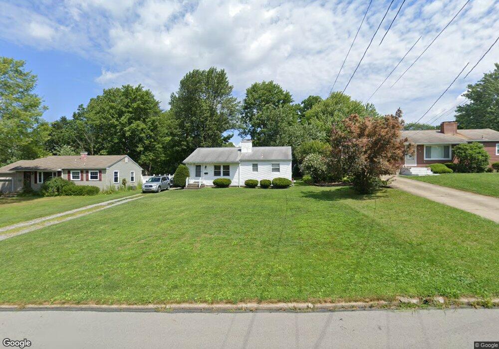
3946 Cannon Rd Youngstown, OH 44515
Austintown NeighborhoodEstimated Value: $119,000 - $154,000
2
Beds
1
Bath
1,004
Sq Ft
$140/Sq Ft
Est. Value
About This Home
This home is located at 3946 Cannon Rd, Youngstown, OH 44515 and is currently estimated at $140,503, approximately $139 per square foot. 3946 Cannon Rd is a home located in Mahoning County with nearby schools including Austintown Elementary School, Austintown Intermediate School, and Austintown Middle School.
Ownership History
Date
Name
Owned For
Owner Type
Purchase Details
Closed on
Sep 16, 2024
Sold by
Whitney Miles Wilson and Whitney Michelle-Lynn
Bought by
Whitney Familia God Trust
Current Estimated Value
Purchase Details
Closed on
Apr 5, 2006
Sold by
Burlingham Dale Charles
Bought by
Whitney Tomiles W and Whitney Michelle L
Home Financials for this Owner
Home Financials are based on the most recent Mortgage that was taken out on this home.
Original Mortgage
$62,500
Interest Rate
10.37%
Mortgage Type
Fannie Mae Freddie Mac
Purchase Details
Closed on
Aug 4, 1966
Bought by
Burlingham Ruth
Create a Home Valuation Report for This Property
The Home Valuation Report is an in-depth analysis detailing your home's value as well as a comparison with similar homes in the area
Home Values in the Area
Average Home Value in this Area
Purchase History
| Date | Buyer | Sale Price | Title Company |
|---|---|---|---|
| Whitney Familia God Trust | -- | None Listed On Document | |
| Whitney Tomiles W | $62,500 | None Available | |
| Burlingham Ruth | -- | -- |
Source: Public Records
Mortgage History
| Date | Status | Borrower | Loan Amount |
|---|---|---|---|
| Previous Owner | Whitney Tomiles W | $62,500 |
Source: Public Records
Tax History Compared to Growth
Tax History
| Year | Tax Paid | Tax Assessment Tax Assessment Total Assessment is a certain percentage of the fair market value that is determined by local assessors to be the total taxable value of land and additions on the property. | Land | Improvement |
|---|---|---|---|---|
| 2024 | $1,523 | $32,940 | $5,830 | $27,110 |
| 2023 | $1,496 | $32,940 | $5,830 | $27,110 |
| 2022 | $1,256 | $22,170 | $5,480 | $16,690 |
| 2021 | $1,258 | $22,170 | $5,480 | $16,690 |
| 2020 | $1,262 | $22,170 | $5,480 | $16,690 |
| 2019 | $1,248 | $19,800 | $4,900 | $14,900 |
| 2018 | $1,202 | $19,800 | $4,900 | $14,900 |
| 2017 | $1,190 | $19,800 | $4,900 | $14,900 |
| 2016 | $1,346 | $22,200 | $6,420 | $15,780 |
| 2015 | $1,305 | $22,200 | $6,420 | $15,780 |
| 2014 | $1,311 | $22,200 | $6,420 | $15,780 |
| 2013 | $1,296 | $22,200 | $6,420 | $15,780 |
Source: Public Records
Map
Nearby Homes
- 3890 Ayrshire Dr
- 3852 Edinburgh Dr
- 4102 Burkey Rd
- 3972 Artmar Dr
- 4235 Patricia Ave
- 532 Westgate Blvd
- 4262 Pembrook Rd
- 1560 S Meridian Rd
- 4234 Burkey Rd
- 4241 Wedgewood Dr
- 3913 Claridge Dr
- 3811 Artmar Dr
- 4289 Wedgewood Dr
- 2430 Redgate Ln
- 3210 Quentin Dr
- 653 S Meridian Rd
- 2500 Redgate Ln
- 263 S Main St
- 252 Rosemont Ave
- 565 S Meridian Rd
- 3942 Cannon Rd
- 3950 Cannon Rd
- 3936 Cannon Rd
- 3956 Cannon Rd
- 3935 Cumberland Dr
- 3929 Cumberland Dr
- 3930 Cannon Rd
- 3962 Cannon Rd
- 3945 Cannon Rd
- 3941 Cumberland Dr
- 3941 Cannon Rd
- 3923 Cumberland Dr
- 3949 Cannon Rd
- 3935 Cannon Rd
- 3955 Cannon Rd
- 3947 Cumberland Dr
- 3917 Cumberland Dr
- 3926 Cannon Rd
- 3968 Cannon Rd
- 3929 Cannon Rd