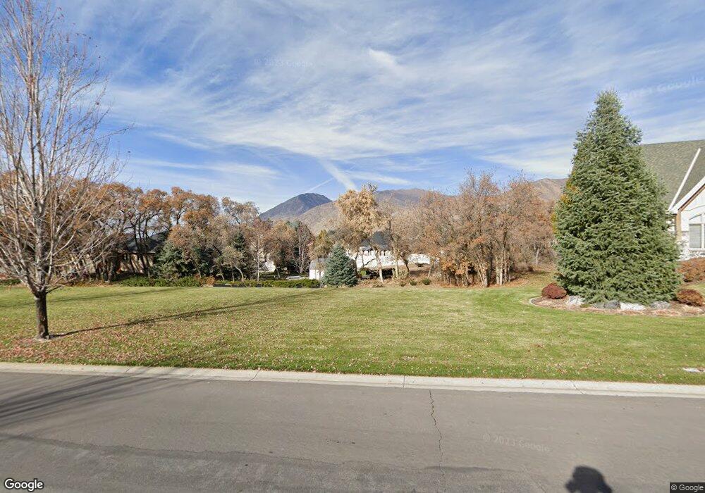
395 Aspen Dr Mapleton, UT 84664
Estimated Value: $1,665,188 - $1,688,000
4
Beds
4
Baths
3,230
Sq Ft
$519/Sq Ft
Est. Value
About This Home
This home is located at 395 Aspen Dr, Mapleton, UT 84664 and is currently estimated at $1,676,594, approximately $519 per square foot. 395 Aspen Dr is a home located in Utah County with nearby schools including Mapleton School, Mapleton Junior High School, and Maple Mountain High School.
Ownership History
Date
Name
Owned For
Owner Type
Purchase Details
Closed on
Nov 15, 2005
Sold by
Bankhead Lewis C
Bought by
Gillman Quinn A and Gillman Kris Ann
Current Estimated Value
Purchase Details
Closed on
Sep 30, 2004
Sold by
Steve Maddox Development Llc
Bought by
Bankhead Lewis C
Create a Home Valuation Report for This Property
The Home Valuation Report is an in-depth analysis detailing your home's value as well as a comparison with similar homes in the area
Home Values in the Area
Average Home Value in this Area
Purchase History
| Date | Buyer | Sale Price | Title Company |
|---|---|---|---|
| Gillman Quinn A | -- | Select Title Insurance Agen | |
| Bankhead Lewis C | -- | Signature Title Insurance A |
Source: Public Records
Tax History
| Year | Tax Paid | Tax Assessment Tax Assessment Total Assessment is a certain percentage of the fair market value that is determined by local assessors to be the total taxable value of land and additions on the property. | Land | Improvement |
|---|---|---|---|---|
| 2025 | $7,292 | $783,885 | -- | -- |
| 2024 | $7,292 | $714,305 | $0 | $0 |
| 2023 | $7,382 | $727,725 | $0 | $0 |
| 2022 | $7,574 | $1,332,900 | $605,400 | $727,500 |
| 2021 | $5,996 | $889,800 | $330,200 | $559,600 |
| 2020 | $5,890 | $846,100 | $308,000 | $538,100 |
| 2019 | $5,635 | $826,100 | $288,000 | $538,100 |
| 2018 | $5,703 | $796,900 | $276,500 | $520,400 |
| 2017 | $5,583 | $416,795 | $0 | $0 |
| 2016 | $5,120 | $379,940 | $0 | $0 |
| 2015 | $4,965 | $366,190 | $0 | $0 |
| 2014 | $4,845 | $350,940 | $0 | $0 |
Source: Public Records
Map
Nearby Homes
- 2254 715 S
- 2042 715 S
- 644 S 1330 E
- 1759 S Perry Dr
- 1515 E Maple St
- 234 S Krissa St Unit 1
- 266 S Krissa St Unit 2
- 304 S Krissa St Unit 3
- 204 S Troy St
- 149 S Krissa St Unit 10
- 1377 E Maple St
- 162 N 800 E
- 310 N 800 E
- 630 N 1600 E
- 702 N 2000 E Unit 305
- 764 N 2000 E Unit 304
- 775 N 800 E
- 1974 S Preserve Dr Unit 56
- 1906 S Preserve Dr
- 1096 N 1000 E
- 357 S Aspen Dr
- 315 S Aspen Dr
- 316 S Aspen Dr
- 1345 E 400 S
- 1345 E Dogwood Dr
- 275 S Aspen Dr
- 275 S 1500 E
- 1406 Dogwood Dr
- 1472 Dogwood Dr
- 1279 Dogwood Dr
- 1340 E Dogwood Dr E
- 233 S Aspen Dr
- 437 S 1200 E
- 191 S Aspen Dr
- 208 E 400 S
- 1355 E 400 S Unit 4
- 1254 Dogwood Dr
- 335 S 1200 E
- 188 Aspen Dr
- 295 S 1200 E