395 Katydid Rd Morganton, GA 30560
Estimated Value: $87,677 - $446,000
2
Beds
2
Baths
--
Sq Ft
25,265
Sq Ft Lot
About This Home
This home is located at 395 Katydid Rd, Morganton, GA 30560 and is currently estimated at $298,169. 395 Katydid Rd is a home located in Fannin County with nearby schools including Fannin County High School.
Ownership History
Date
Name
Owned For
Owner Type
Purchase Details
Closed on
Nov 22, 2019
Sold by
Kraft Edwin Louis
Bought by
Frog Industries Llc
Current Estimated Value
Purchase Details
Closed on
Jan 16, 2018
Sold by
Faith Mountain Holdings Ll
Bought by
Kraft Edwin Louis and Kraft Patricia Ann
Purchase Details
Closed on
Dec 17, 2008
Sold by
Jenkins John D
Bought by
Faith Mountain Holdings Llc
Purchase Details
Closed on
Dec 16, 2008
Sold by
Jenkins Jeannete K Rice
Bought by
Jenkins John D and Jenkins Jeanette K
Purchase Details
Closed on
Mar 25, 2003
Sold by
Franks David Scott
Bought by
Franks David Scott and James Franks
Purchase Details
Closed on
Sep 17, 1999
Sold by
Valen Bert
Bought by
Franks David Scott
Purchase Details
Closed on
May 22, 1998
Sold by
Ward Jennings A
Bought by
Valen Bert
Purchase Details
Closed on
Apr 16, 1993
Sold by
Ward Jennings A
Bought by
Ward Jennings A
Purchase Details
Closed on
Aug 30, 1992
Bought by
Ward Jennings A
Create a Home Valuation Report for This Property
The Home Valuation Report is an in-depth analysis detailing your home's value as well as a comparison with similar homes in the area
Home Values in the Area
Average Home Value in this Area
Purchase History
| Date | Buyer | Sale Price | Title Company |
|---|---|---|---|
| Frog Industries Llc | $23,000 | -- | |
| Kraft Edwin Louis | $20,000 | -- | |
| Faith Mountain Holdings Llc | -- | -- | |
| Jenkins John D | -- | -- | |
| Jenkins Jeanette | $170,000 | -- | |
| Franks David Scott | -- | -- | |
| Franks David Scott | $85,000 | -- | |
| Valen Bert | $52,000 | -- | |
| Ward Jennings A | -- | -- | |
| Ward Jennings A | $50,000 | -- |
Source: Public Records
Tax History
| Year | Tax Paid | Tax Assessment Tax Assessment Total Assessment is a certain percentage of the fair market value that is determined by local assessors to be the total taxable value of land and additions on the property. | Land | Improvement |
|---|---|---|---|---|
| 2025 | $72 | $7,986 | $5,986 | $2,000 |
| 2024 | $1 | $7,986 | $5,986 | $2,000 |
| 2023 | $81 | $7,986 | $5,986 | $2,000 |
| 2022 | $81 | $7,986 | $5,986 | $2,000 |
| 2021 | $112 | $7,986 | $5,986 | $2,000 |
| 2020 | $114 | $7,986 | $5,986 | $2,000 |
| 2019 | $73 | $5,016 | $3,016 | $2,000 |
| 2018 | $46 | $3,016 | $3,016 | $0 |
| 2017 | $53 | $3,016 | $3,016 | $0 |
| 2016 | $51 | $3,016 | $3,016 | $0 |
| 2015 | $54 | $3,016 | $3,016 | $0 |
| 2014 | $803 | $45,128 | $3,016 | $42,112 |
| 2013 | -- | $29,549 | $3,016 | $26,533 |
Source: Public Records
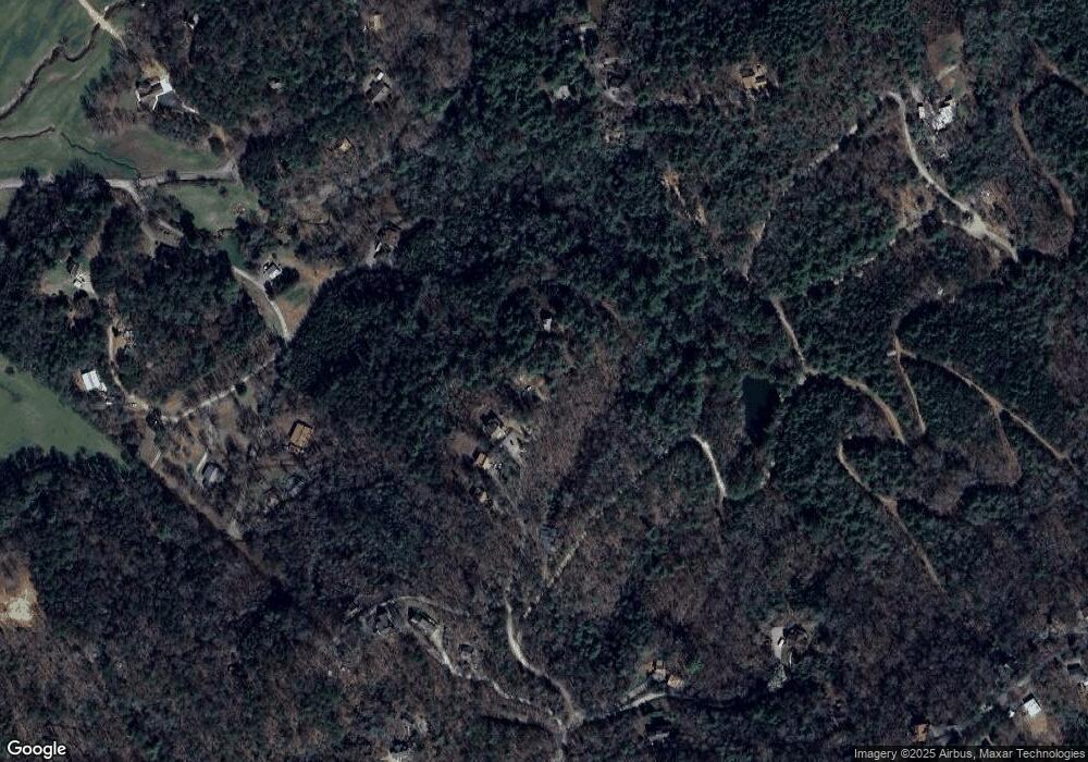
Map
Nearby Homes
- LT 151 The Ridges
- LOT 95 The Ridges
- 161 Walkabout Creek Rd
- LOT 53 Mountain Laurel Ridge
- lot 16 Mountain Laurel Ridge
- 295 Mountain Laurel Ridge
- 0 Mountain Laurel Ridge Unit 7725070
- 0 Mountain Laurel Ridge Unit 10698439
- 0 Mountain Laurel Ridge Unit 23906395
- 386 Mountain Laurel Ridge
- 7.93 Cutcane Rd
- 56.6 Ac Cutcane Rd
- 83 Acres Cutcane Rd
- Lot 44 Ridgeline Ln
- 653 The Woods Rd
- 419 Blue Ridge Trail
- 34 Smokey Ridge Ln
- 290 Turkey Trot Rd
- 34 Mountain Lookout
- 91 Blue Grass Hollow
- 329 Katydid Rd
- 359 Katydid Rd
- 63 Beavers Farm Rd
- 295 Beavers Farm Rd
- LOT 4LW Katydid Rd
- 659 Katydid Rd
- 1.1AC Katydid Rd
- 0 Katydid Rd
- 716 Katydid Rd
- 652 Katydid Rd
- 279 Katydid Rd
- 66 Beavers Farm Rd
- 281 Katydid Rd
- 189 Katydid Rd
- 70 Beavers Farm Rd
- 853 Katydid Rd
- 659 Katydid Rd
- 187 Katydid Rd
- 185 Katydid Rd
- 428 Kaytidid Rd
Your Personal Tour Guide
Ask me questions while you tour the home.