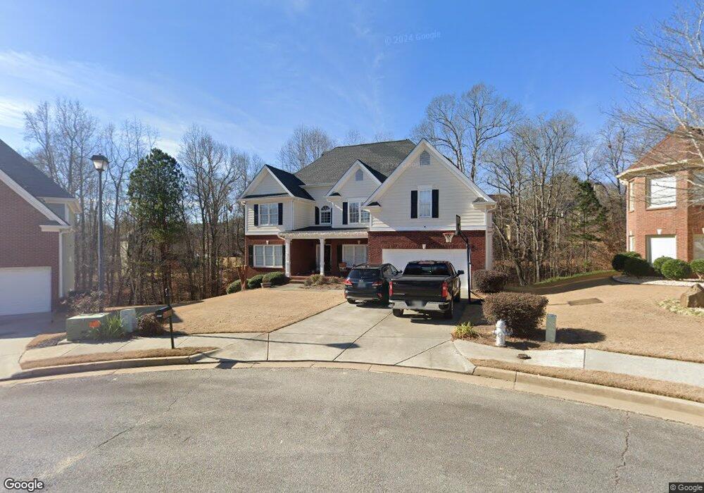
3950 Creek Rock Ct Buford, GA 30519
Estimated Value: $615,000 - $694,000
5
Beds
3
Baths
3,653
Sq Ft
$178/Sq Ft
Est. Value
About This Home
This home is located at 3950 Creek Rock Ct, Buford, GA 30519 and is currently estimated at $651,768, approximately $178 per square foot. 3950 Creek Rock Ct is a home located in Gwinnett County with nearby schools including Harmony Elementary School and Glenn C. Jones Middle School.
Ownership History
Date
Name
Owned For
Owner Type
Purchase Details
Closed on
Feb 27, 2004
Sold by
Magnolia Signature Homes Inc
Bought by
Parker Kenneth A and Parker Sonya
Current Estimated Value
Home Financials for this Owner
Home Financials are based on the most recent Mortgage that was taken out on this home.
Original Mortgage
$222,400
Outstanding Balance
$104,013
Interest Rate
5.68%
Mortgage Type
New Conventional
Estimated Equity
$547,755
Create a Home Valuation Report for This Property
The Home Valuation Report is an in-depth analysis detailing your home's value as well as a comparison with similar homes in the area
Home Values in the Area
Average Home Value in this Area
Purchase History
| Date | Buyer | Sale Price | Title Company |
|---|---|---|---|
| Parker Kenneth A | $278,300 | -- |
Source: Public Records
Mortgage History
| Date | Status | Borrower | Loan Amount |
|---|---|---|---|
| Open | Parker Kenneth A | $222,400 |
Source: Public Records
Tax History Compared to Growth
Tax History
| Year | Tax Paid | Tax Assessment Tax Assessment Total Assessment is a certain percentage of the fair market value that is determined by local assessors to be the total taxable value of land and additions on the property. | Land | Improvement |
|---|---|---|---|---|
| 2024 | $7,882 | $279,120 | $48,000 | $231,120 |
| 2023 | $7,882 | $220,000 | $33,600 | $186,400 |
| 2022 | $6,636 | $220,000 | $33,600 | $186,400 |
| 2021 | $5,543 | $162,600 | $29,600 | $133,000 |
| 2020 | $5,581 | $162,600 | $29,600 | $133,000 |
| 2019 | $5,084 | $147,800 | $26,400 | $121,400 |
| 2018 | $5,095 | $147,800 | $26,400 | $121,400 |
| 2016 | $5,028 | $143,840 | $26,400 | $117,440 |
| 2015 | $4,872 | $134,160 | $18,400 | $115,760 |
| 2014 | -- | $123,440 | $18,400 | $105,040 |
Source: Public Records
Map
Nearby Homes
- 4041 Lost Mill Ln
- 2551 E Maddox Rd
- 3685 Rolling Creek Dr
- 2692 Bogan Creek Dr
- 3775 Rolling Creek Dr
- 3665 Mystic Dr Unit 2
- 4017 S South Bogan Rd
- 2753 Blue Moon Dr Unit 4
- 2101 E Maddox Rd
- 2361 Black Bear Ct Unit 2
- 3964 Hamilton Mill Rd
- 3765 Woodlawn Ct
- 2398 E Maddox Rd
- 3600 Devenwood Way
- 2330 Chandler Grove Dr
- 3848 Heirloom Loop Ct
- 3940 Creek Rock Ct
- 3943 Creek Rock Ct
- 3930 Creek Rock Ct
- 3933 Creek Rock Ct Unit 3
- 2582 Bogan Bridge Cir Unit 2
- 2573 Bogan Bridge Cir Unit 2
- 2573 Bogan Bridge Cir
- 3910 Creek Rock Ct
- 3923 Creek Rock Ct
- 2728 Lost Mill Trace
- 2522 Shoals Bluff Ct Unit 2
- 2572 Bogan Bridge Cir
- 4090 Lost Mill Ln
- 3913 Creek Rock Ct
- 2778 Lost Mill Trace
- 3900 Creek Rock Ct
- 2563 Bogan Bridge Cir
- 2563 Bogan Bridge Cir Unit 34
- 2768 Lost Mill Trace
- 4080 Lost Mill Ln