39596 92nd Ave Onamia, MN 56359
Estimated Value: $260,000 - $351,000
Studio
--
Bath
1,440
Sq Ft
$208/Sq Ft
Est. Value
About This Home
This home is located at 39596 92nd Ave, Onamia, MN 56359 and is currently estimated at $299,985, approximately $208 per square foot. 39596 92nd Ave is a home located in Mille Lacs County with nearby schools including Onamia Secondary School.
Ownership History
Date
Name
Owned For
Owner Type
Purchase Details
Closed on
Apr 23, 2021
Sold by
Peterson Trust
Bought by
Peterson Joel
Current Estimated Value
Home Financials for this Owner
Home Financials are based on the most recent Mortgage that was taken out on this home.
Original Mortgage
$209,500
Outstanding Balance
$189,455
Interest Rate
3.1%
Mortgage Type
VA
Estimated Equity
$110,530
Purchase Details
Closed on
Jul 15, 2016
Sold by
Peterson Richard G and Peterson Mary Jo
Bought by
Peterson Richard G and Peterson Mary Jo
Create a Home Valuation Report for This Property
The Home Valuation Report is an in-depth analysis detailing your home's value as well as a comparison with similar homes in the area
Purchase History
| Date | Buyer | Sale Price | Title Company |
|---|---|---|---|
| Peterson Joel | $209,500 | Minnesota Title | |
| Peterson Richard G | -- | None Available |
Source: Public Records
Mortgage History
| Date | Status | Borrower | Loan Amount |
|---|---|---|---|
| Open | Peterson Joel | $209,500 |
Source: Public Records
Tax History
| Year | Tax Paid | Tax Assessment Tax Assessment Total Assessment is a certain percentage of the fair market value that is determined by local assessors to be the total taxable value of land and additions on the property. | Land | Improvement |
|---|---|---|---|---|
| 2025 | $180 | $338,100 | $79,000 | $259,100 |
| 2024 | $1,384 | $317,300 | $61,400 | $255,900 |
| 2023 | $1,196 | $296,100 | $60,500 | $235,600 |
| 2022 | $928 | $271,000 | $49,100 | $221,900 |
| 2021 | $2,250 | $226,900 | $45,900 | $181,000 |
| 2020 | $2,094 | $210,000 | $46,300 | $163,700 |
| 2019 | $2,058 | $183,700 | $44,800 | $138,900 |
| 2018 | $1,896 | $180,900 | $44,800 | $136,100 |
| 2017 | $1,948 | $166,700 | $39,800 | $126,900 |
| 2016 | $1,918 | $0 | $0 | $0 |
| 2015 | $2,048 | $0 | $0 | $0 |
| 2014 | $2,048 | $0 | $0 | $0 |
Source: Public Records
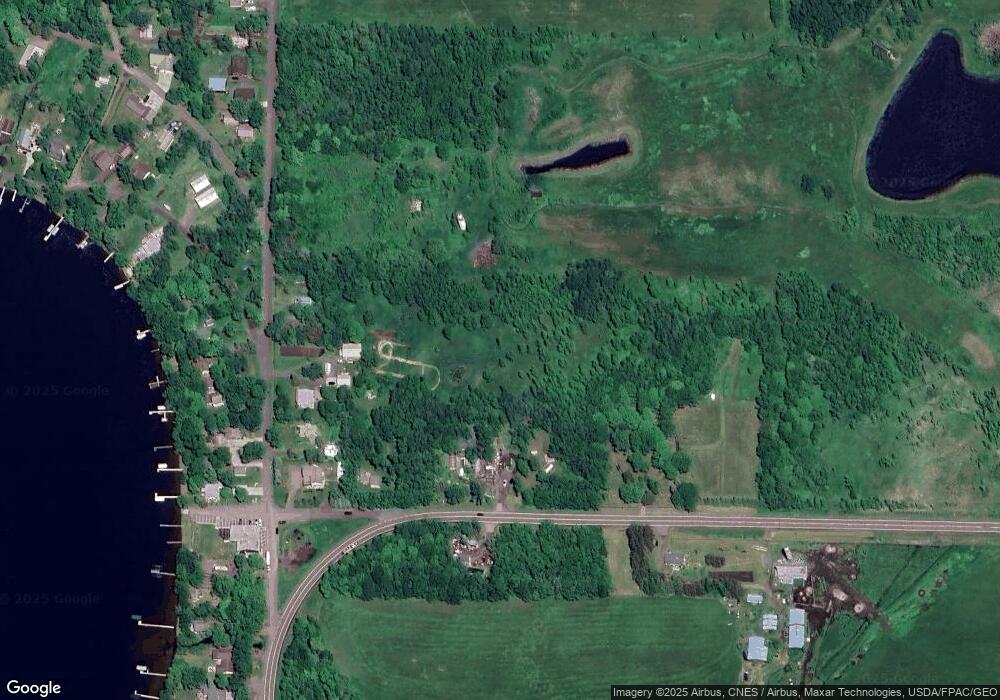
Map
Nearby Homes
- TBD Summit Rd
- 9736 State Highway 27
- 8942 Eyota Way
- 8544 Tennis Terrace Rd
- 8536 Tuxedo Rd
- 40186 Par 5 Dr
- TBD Lot# 16 Par 5 Dr
- 8332 Par 5 Dr
- 8424 Tuxedo Rd Unit 315
- TBD Lot 12 Fairway Ln
- TBD Lot # 6 Fairway Ln
- 8344 Tuxedo Rd Unit 337
- 8318 Tuxedo Rd Unit 343
- 8304 Tuxedo Rd Unit 345
- 7956 Tournament Trail
- 7582 Tailor Rd
- XXX Highway 169
- 40602 Blair Way
- XXX Stevens Rd
- 39953 Pioneer Ln
- 39534 92nd Ave
- 39512 92nd Ave
- 39513 92nd Ave
- 39537 92nd Ave
- 39505 92nd Ave
- 39549 Winona Way
- 39501 92nd Ave
- 39559 Winona Way
- 9102 State Highway 27
- 39465 92nd Ave
- 39567 Winona Way
- 9101 State Highway 27
- 9275 Winona Way
- 39591 92nd Ave
- 9146 State Highway 27
- 9258 Winona Way
- 9279 Winona Way
- 39625 92nd Ave
- 9272 Winona Way
- 9158 State Highway 27
Your Personal Tour Guide
Ask me questions while you tour the home.