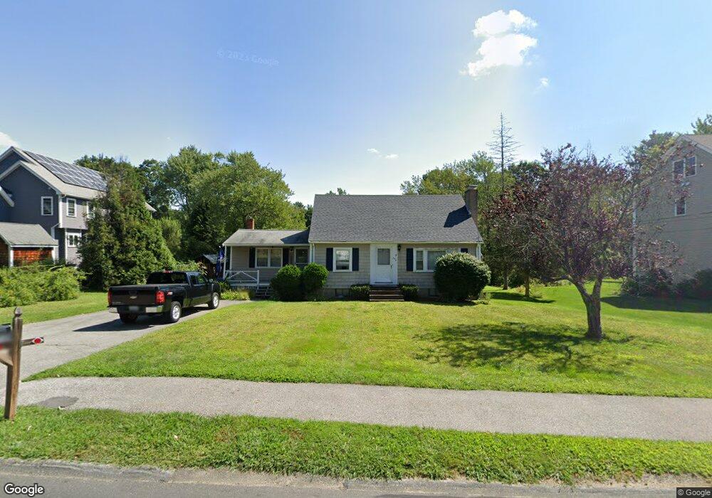
396 Davis Rd Bedford, MA 01730
Estimated Value: $807,991 - $992,000
3
Beds
2
Baths
1,632
Sq Ft
$548/Sq Ft
Est. Value
About This Home
This home is located at 396 Davis Rd, Bedford, MA 01730 and is currently estimated at $893,998, approximately $547 per square foot. 396 Davis Rd is a home located in Middlesex County with nearby schools including Lt. Elezer Davis Elementary School, Lt .Job Lane Elementary School, and John Glenn Middle School.
Ownership History
Date
Name
Owned For
Owner Type
Purchase Details
Closed on
May 18, 2007
Sold by
Shanler Amy R and Shanler Michael S
Bought by
Crews Daniel O and Crews Lauren K
Current Estimated Value
Home Financials for this Owner
Home Financials are based on the most recent Mortgage that was taken out on this home.
Original Mortgage
$403,465
Outstanding Balance
$245,549
Interest Rate
6.18%
Mortgage Type
Purchase Money Mortgage
Estimated Equity
$648,449
Purchase Details
Closed on
May 1, 2003
Sold by
Foley Jean M and Foley Donald W
Bought by
Shanler Amy R and Shanler Michael S
Home Financials for this Owner
Home Financials are based on the most recent Mortgage that was taken out on this home.
Original Mortgage
$314,000
Interest Rate
5.82%
Mortgage Type
Purchase Money Mortgage
Create a Home Valuation Report for This Property
The Home Valuation Report is an in-depth analysis detailing your home's value as well as a comparison with similar homes in the area
Home Values in the Area
Average Home Value in this Area
Purchase History
We collect this data history from publicly available records. To have your information removed, we recommend requesting removal directly through your county’s website.
| Date | Buyer | Sale Price | Title Company |
|---|---|---|---|
| Crews Daniel O | $424,700 | -- | |
| Shanler Amy R | $392,500 | -- |
Source: Public Records
Mortgage History
We collect this data history from publicly available records. To have your information removed, we recommend requesting removal directly through your county’s website.
| Date | Status | Borrower | Loan Amount |
|---|---|---|---|
| Open | Crews Daniel O | $403,465 | |
| Previous Owner | Shanler Amy R | $314,000 |
Source: Public Records
Tax History
| Year | Tax Paid | Tax Assessment Tax Assessment Total Assessment is a certain percentage of the fair market value that is determined by local assessors to be the total taxable value of land and additions on the property. | Land | Improvement |
|---|---|---|---|---|
| 2025 | $85 | $703,900 | $492,900 | $211,000 |
| 2024 | $7,964 | $670,400 | $469,400 | $201,000 |
| 2023 | $7,648 | $612,800 | $443,400 | $169,400 |
| 2022 | $8,012 | $590,000 | $434,700 | $155,300 |
| 2021 | $6,768 | $571,100 | $426,000 | $145,100 |
| 2020 | $7,100 | $571,100 | $426,000 | $145,100 |
| 2019 | $6,429 | $568,800 | $426,000 | $142,800 |
| 2018 | $7,250 | $515,200 | $372,400 | $142,800 |
| 2017 | $7,497 | $506,200 | $344,300 | $161,900 |
| 2016 | $7,098 | $464,515 | $313,000 | $151,515 |
| 2015 | $6,698 | $458,130 | $313,000 | $145,130 |
| 2014 | $7,076 | $450,400 | $313,000 | $137,400 |
Source: Public Records
Map
Nearby Homes
- 21 Clark Rd
- 6 Parker Rd
- 4 Abbott Ln
- 16 Hatch Farm Ln
- 1409 Monument St
- 105 Prescott Rd
- 5 Great Rd
- 1437-3 Monument St
- 215 Monument Farm Rd
- 210 Monument Farm Rd
- 15 Harvard Dr
- 81-83 South Rd
- 70 Great Rd Unit G
- 21 Fletcher Rd
- 1 Harvard Dr
- 72 Hancock St
- 36 Loomis St Unit 102
- 36 Loomis St Unit 301
- 36 Loomis St Unit 104
- 51 Revolutionary Rd
Your Personal Tour Guide
Ask me questions while you tour the home.