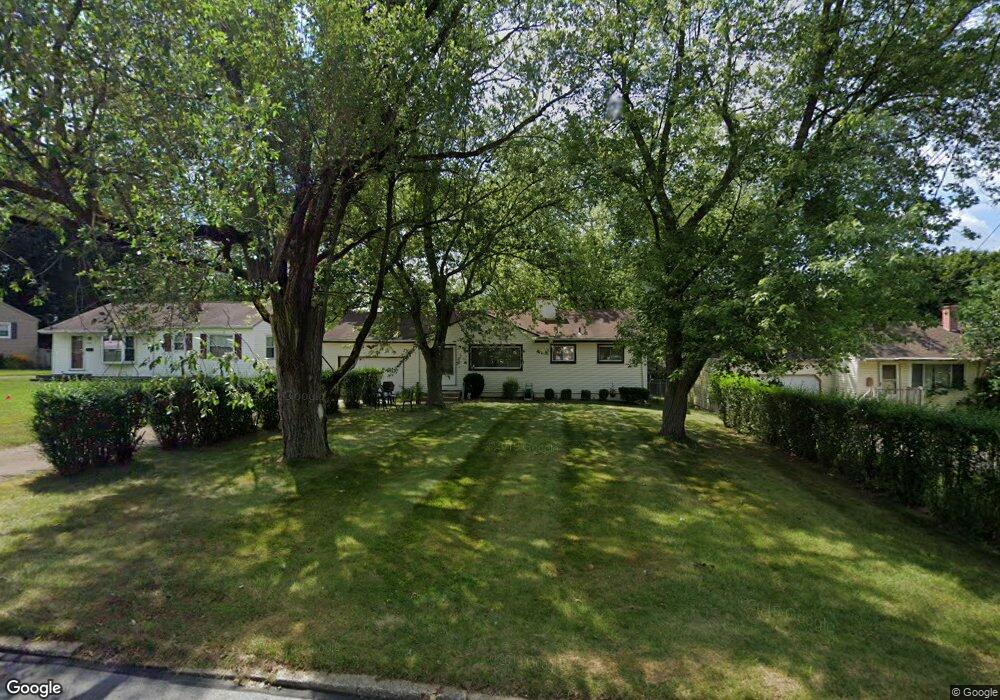
3961 Cannon Rd Youngstown, OH 44515
Austintown NeighborhoodEstimated Value: $120,000 - $165,000
2
Beds
1
Bath
1,004
Sq Ft
$148/Sq Ft
Est. Value
About This Home
This home is located at 3961 Cannon Rd, Youngstown, OH 44515 and is currently estimated at $148,244, approximately $147 per square foot. 3961 Cannon Rd is a home located in Mahoning County with nearby schools including Austintown Elementary School, Austintown Intermediate School, and Austintown Middle School.
Ownership History
Date
Name
Owned For
Owner Type
Purchase Details
Closed on
Nov 9, 1981
Bought by
Catoline Pauline D
Current Estimated Value
Create a Home Valuation Report for This Property
The Home Valuation Report is an in-depth analysis detailing your home's value as well as a comparison with similar homes in the area
Home Values in the Area
Average Home Value in this Area
Purchase History
| Date | Buyer | Sale Price | Title Company |
|---|---|---|---|
| Catoline Pauline D | -- | -- |
Source: Public Records
Tax History Compared to Growth
Tax History
| Year | Tax Paid | Tax Assessment Tax Assessment Total Assessment is a certain percentage of the fair market value that is determined by local assessors to be the total taxable value of land and additions on the property. | Land | Improvement |
|---|---|---|---|---|
| 2024 | $1,301 | $37,880 | $5,390 | $32,490 |
| 2023 | $1,306 | $37,880 | $5,390 | $32,490 |
| 2022 | $934 | $25,170 | $5,070 | $20,100 |
| 2021 | $935 | $25,170 | $5,070 | $20,100 |
| 2020 | $961 | $25,170 | $5,070 | $20,100 |
| 2019 | $872 | $22,470 | $4,530 | $17,940 |
| 2018 | $862 | $22,470 | $4,530 | $17,940 |
| 2017 | $828 | $22,470 | $4,530 | $17,940 |
| 2016 | $985 | $24,940 | $5,930 | $19,010 |
| 2015 | $955 | $24,940 | $5,930 | $19,010 |
| 2014 | $959 | $24,940 | $5,930 | $19,010 |
| 2013 | $948 | $24,940 | $5,930 | $19,010 |
Source: Public Records
Map
Nearby Homes
- 3890 Ayrshire Dr
- 4235 Patricia Ave
- 4102 Burkey Rd
- 3852 Edinburgh Dr
- 4262 Pembrook Rd
- 3972 Artmar Dr
- 532 Westgate Blvd
- 4234 Burkey Rd
- 4241 Wedgewood Dr
- 3913 Claridge Dr
- 1560 S Meridian Rd
- 4289 Wedgewood Dr
- 2430 Redgate Ln
- 3811 Artmar Dr
- 2500 Redgate Ln
- 3210 Quentin Dr
- 2699 Hamman Dr
- 263 S Main St
- 252 Rosemont Ave
- 603 S Raccoon Rd Unit 9