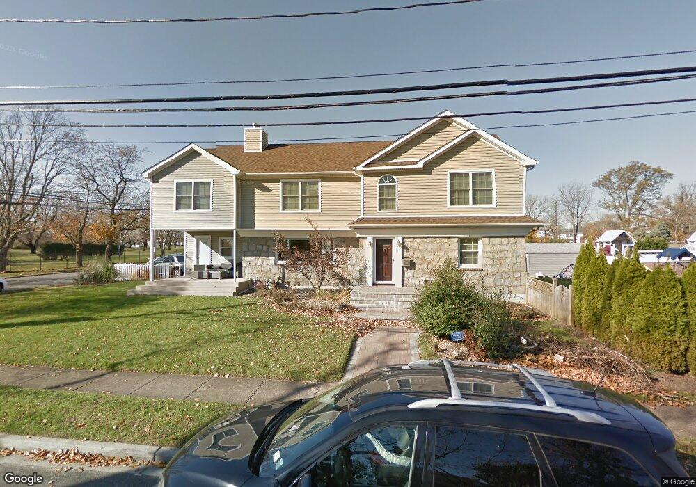
397 Freeman Ave Oceanside, NY 11572
Estimated Value: $960,000 - $1,113,980
4
Beds
4
Baths
3,448
Sq Ft
$301/Sq Ft
Est. Value
About This Home
This home is located at 397 Freeman Ave, Oceanside, NY 11572 and is currently estimated at $1,036,990, approximately $300 per square foot. 397 Freeman Ave is a home located in Nassau County with nearby schools including Boardman Elementary School, Oceanside Middle School, and Oceanside High School.
Ownership History
Date
Name
Owned For
Owner Type
Purchase Details
Closed on
Dec 27, 2005
Sold by
Pincus Richard
Bought by
Brand Stuart
Current Estimated Value
Purchase Details
Closed on
Jul 29, 1999
Sold by
Rubin Donald L and Rubin Phyllis
Bought by
Pincus Richard S and Pincus Pamela Kelly
Home Financials for this Owner
Home Financials are based on the most recent Mortgage that was taken out on this home.
Original Mortgage
$224,800
Interest Rate
7.65%
Mortgage Type
Purchase Money Mortgage
Create a Home Valuation Report for This Property
The Home Valuation Report is an in-depth analysis detailing your home's value as well as a comparison with similar homes in the area
Home Values in the Area
Average Home Value in this Area
Purchase History
| Date | Buyer | Sale Price | Title Company |
|---|---|---|---|
| Brand Stuart | $618,000 | -- | |
| Pincus Richard S | $281,000 | -- |
Source: Public Records
Mortgage History
| Date | Status | Borrower | Loan Amount |
|---|---|---|---|
| Previous Owner | Pincus Richard S | $224,800 |
Source: Public Records
Tax History
| Year | Tax Paid | Tax Assessment Tax Assessment Total Assessment is a certain percentage of the fair market value that is determined by local assessors to be the total taxable value of land and additions on the property. | Land | Improvement |
|---|---|---|---|---|
| 2025 | $19,937 | $722 | $284 | $438 |
| 2024 | $5,673 | $733 | $288 | $445 |
Source: Public Records
Map
Nearby Homes
- 3309 Skillman Ave
- 3309 Balsam St
- 3432 Bayfield Blvd
- 313 Jordan St
- 3354 Knight St
- 3391 Fairway Rd
- 348 Links Dr E
- 3195 Nantucket Ln
- 3483 Frederick St
- 3461 Ocean Ave
- 295 Thorn St
- 3452 Ocean Ave
- 3522 Frederick St
- 487 Links Dr E
- 3487 Anchor Place
- 512 Links Dr E
- 613 Smith Place
- 2941 Moreland Ave
- 3066 Ann St
- 222 Chance Dr
- 413 Freeman Ave
- 3367 Skillman Ave
- 212 Skillman Ave
- 218 Skillman Ave
- 419 Freeman Ave
- 414 Freeman Ave
- 220 Skillman Ave
- 3355 Skillman Ave
- 420 Freeman Ave
- 425 Freeman Ave
- 222 Skillman Ave
- 3349 Skillman Ave
- 3356 Poplar St
- 3374 Poplar St
- 3368 Poplar St
- 224 Skillman Ave
- 3386 Poplar St
- 3350 Poplar St
- 1 Jordan St
- 3335 Skillman Ave
Your Personal Tour Guide
Ask me questions while you tour the home.