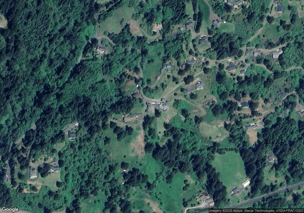
3973 Westwood Dr Tillamook, OR 97141
Estimated Value: $637,000 - $723,000
3
Beds
3
Baths
2,048
Sq Ft
$339/Sq Ft
Est. Value
About This Home
This home is located at 3973 Westwood Dr, Tillamook, OR 97141 and is currently estimated at $693,721, approximately $338 per square foot. 3973 Westwood Dr is a home with nearby schools including Tillamook High School and Little Clipper Preschool.
Ownership History
Date
Name
Owned For
Owner Type
Purchase Details
Closed on
Jun 9, 2021
Sold by
Leonnig Todd T and Leonnig Julie M
Bought by
Moreland Kenneth and Moreland Debra
Current Estimated Value
Purchase Details
Closed on
Sep 6, 2013
Sold by
Leonnig Todd T and Leonnig Julie M
Bought by
Leonnig Todd T and Leonnig Julie M
Purchase Details
Closed on
Jun 27, 2006
Sold by
Naegeli Matthew
Bought by
Leonnig Todd T and Leonnig Julie M
Home Financials for this Owner
Home Financials are based on the most recent Mortgage that was taken out on this home.
Original Mortgage
$32,500
Interest Rate
6.63%
Mortgage Type
Seller Take Back
Create a Home Valuation Report for This Property
The Home Valuation Report is an in-depth analysis detailing your home's value as well as a comparison with similar homes in the area
Home Values in the Area
Average Home Value in this Area
Purchase History
| Date | Buyer | Sale Price | Title Company |
|---|---|---|---|
| Moreland Kenneth | $105,000 | Ticor Title Company Of Or | |
| Leonnig Todd T | -- | None Available | |
| Leonnig Todd T | $65,000 | First American |
Source: Public Records
Mortgage History
| Date | Status | Borrower | Loan Amount |
|---|---|---|---|
| Previous Owner | Leonnig Todd T | $32,500 |
Source: Public Records
Tax History Compared to Growth
Tax History
| Year | Tax Paid | Tax Assessment Tax Assessment Total Assessment is a certain percentage of the fair market value that is determined by local assessors to be the total taxable value of land and additions on the property. | Land | Improvement |
|---|---|---|---|---|
| 2024 | $3,963 | $384,690 | $83,700 | $300,990 |
| 2023 | $2,314 | $216,310 | $80,480 | $135,830 |
| 2022 | $707 | $71,900 | $71,900 | $0 |
| 2021 | $686 | $69,810 | $69,810 | $0 |
| 2020 | $668 | $67,780 | $67,780 | $0 |
| 2019 | $691 | $65,810 | $65,810 | $0 |
| 2018 | $675 | $63,900 | $63,900 | $0 |
| 2017 | $657 | $62,040 | $62,040 | $0 |
| 2016 | $632 | $60,240 | $60,240 | $0 |
| 2015 | $622 | $58,490 | $58,490 | $0 |
| 2014 | $608 | $56,790 | $56,790 | $0 |
| 2013 | -- | $55,140 | $55,140 | $0 |
Source: Public Records
Map
Nearby Homes
- TL# 300 Westwood Dr
- 3850 Westwood Dr
- 0 Tl 300 Westwood Place
- 8100 Briar Ln
- 0 Tl 2809 Briar Ln
- 3995 Westwood Dr
- 5240 Sollie Smith Rd N
- 3355 Hubert Rd
- 9660 Sollie Smith Rd N
- 3960 Latimer Rd
- 8675 Fairview Rd
- 5305 Kenway Dr
- 6550 Curl Rd
- V/L Marolf Loop Rd
- 4004 Elmwood St
- 4009 Filbert St
- 3607 3rd St
- 4205 Ginkgo Ave
- 4004 Ginkgo Ave
- 3825 Westwood Dr Unit 900
- 3825 Westwood Dr
- 7430 Westwood Dr
- 0000 Westwood Dr
- TL#00200 Westwood Dr Unit 200
- 3990 Westwood Dr
- 3975 Westwood Dr
- 4199 Westwood Dr
- 3765 Westwood Dr
- TL#101 Westwood Place
- 6980 Westwood Place
- 0 Tl 200 Westwood Place Unit 19594833
- 4185 Westwood Dr
- 0 Westwood Dr Unit 700 24167699
- 0 Westwood Dr Unit 200 23080536
- 0 Westwood Dr Unit 300 23266589
- 0 Westwood Dr Unit 300 23-77
- 0 Westwood Dr Unit 2801 22434376
- 0 Westwood Dr Unit VL301 22320767
- 0 Westwood Dr Unit 5-102288
