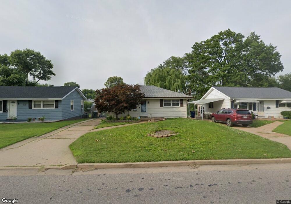
3975 Weber Rd Saint Louis, MO 63123
Boulevard Heights NeighborhoodEstimated Value: $149,039 - $198,000
2
Beds
2
Baths
744
Sq Ft
$223/Sq Ft
Est. Value
About This Home
This home is located at 3975 Weber Rd, Saint Louis, MO 63123 and is currently estimated at $166,260, approximately $223 per square foot. 3975 Weber Rd is a home located in St. Louis City with nearby schools including Woerner Elementary School, Long International Middle School, and Roosevelt High School.
Ownership History
Date
Name
Owned For
Owner Type
Purchase Details
Closed on
Sep 30, 2013
Sold by
Thomas E Enger Revocable Living Trust
Bought by
Enger Keith
Current Estimated Value
Home Financials for this Owner
Home Financials are based on the most recent Mortgage that was taken out on this home.
Original Mortgage
$81,005
Interest Rate
4.62%
Mortgage Type
FHA
Purchase Details
Closed on
Aug 18, 2010
Sold by
Enger Thomas E
Bought by
Thomas E Enger Revocable Living Trust
Create a Home Valuation Report for This Property
The Home Valuation Report is an in-depth analysis detailing your home's value as well as a comparison with similar homes in the area
Home Values in the Area
Average Home Value in this Area
Purchase History
| Date | Buyer | Sale Price | Title Company |
|---|---|---|---|
| Enger Keith | -- | None Available | |
| Thomas E Enger Revocable Living Trust | -- | None Available |
Source: Public Records
Mortgage History
| Date | Status | Borrower | Loan Amount |
|---|---|---|---|
| Closed | Enger Keith | $81,005 |
Source: Public Records
Tax History
| Year | Tax Paid | Tax Assessment Tax Assessment Total Assessment is a certain percentage of the fair market value that is determined by local assessors to be the total taxable value of land and additions on the property. | Land | Improvement |
|---|---|---|---|---|
| 2025 | $1,695 | $23,330 | $2,010 | $21,320 |
| 2024 | $1,613 | $19,920 | $2,010 | $17,910 |
| 2023 | $1,613 | $19,920 | $2,010 | $17,910 |
| 2022 | $1,528 | $18,150 | $2,010 | $16,140 |
| 2021 | $1,526 | $18,150 | $2,010 | $16,140 |
| 2020 | $1,416 | $16,950 | $2,010 | $14,940 |
| 2019 | $1,411 | $16,940 | $2,010 | $14,930 |
| 2018 | $1,315 | $15,280 | $1,620 | $13,660 |
| 2017 | $1,293 | $15,280 | $1,620 | $13,660 |
| 2016 | $1,200 | $13,980 | $1,620 | $12,370 |
Source: Public Records
Map
Nearby Homes
- 7824 Decatur Dr
- 7856 Leona St
- 4120 Kettler Rd
- 424 Tiffany Dr
- 5321 Tesson Ct
- 4140 Tesson St
- 3720 Comstock Dr
- 8277 Morganford Rd
- 607 Majesty Ct
- 4100 Whippoorwill Dr
- 4338 Seibert Ave
- 4611 Oldenburg Ave
- 3832 Louis St
- 7337 Sharp Ave
- 4116 Santen Dr
- 7316 Sharp Ave
- 4352 Steins St
- 4672 Hannover Ave
- 4639 Primm St
- 704 Dallas Dr
Your Personal Tour Guide
Ask me questions while you tour the home.