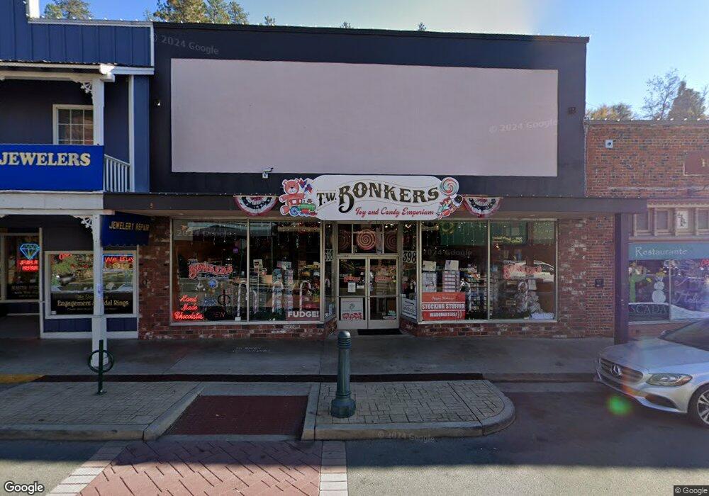
398 Main St Placerville, CA 95667
Studio
3
Baths
--
Sq Ft
9,148
Sq Ft Lot
About This Home
This home is located at 398 Main St, Placerville, CA 95667. 398 Main St is a home located in El Dorado County with nearby schools including El Dorado High School and El Dorado Adventist School.
Ownership History
Date
Name
Owned For
Owner Type
Purchase Details
Closed on
Apr 7, 2004
Sold by
Jernigan Jon A and Jernigan Jane H
Bought by
398 Main Street Llc
Purchase Details
Closed on
Feb 8, 2002
Sold by
Nunan Ronald C and Nunan Anne J
Bought by
Nunan Ronald C and Nunan Anne J
Purchase Details
Closed on
May 6, 1999
Sold by
Jones Thomas M and Jones Kathleen J
Bought by
Jones Thomas M and Jones Kathleen J
Purchase Details
Closed on
Sep 25, 1995
Sold by
Jernigan Jon A and Jernigan Jane H
Bought by
Jernigan Jon A and Jernigan Jane H
Create a Home Valuation Report for This Property
The Home Valuation Report is an in-depth analysis detailing your home's value as well as a comparison with similar homes in the area
Home Values in the Area
Average Home Value in this Area
Purchase History
| Date | Buyer | Sale Price | Title Company |
|---|---|---|---|
| 398 Main Street Llc | -- | -- | |
| Nunan Ronald C | -- | -- | |
| Jones Thomas M | -- | -- | |
| Jernigan Jon A | -- | -- |
Source: Public Records
Tax History
| Year | Tax Paid | Tax Assessment Tax Assessment Total Assessment is a certain percentage of the fair market value that is determined by local assessors to be the total taxable value of land and additions on the property. | Land | Improvement |
|---|---|---|---|---|
| 2025 | $3,867 | $345,061 | $110,938 | $234,123 |
| 2024 | $3,867 | $338,296 | $108,763 | $229,533 |
| 2023 | $3,588 | $331,664 | $106,631 | $225,033 |
| 2022 | $3,776 | $325,162 | $104,541 | $220,621 |
| 2021 | $3,736 | $318,788 | $102,492 | $216,296 |
| 2020 | $3,685 | $315,521 | $101,442 | $214,079 |
| 2019 | $3,644 | $309,335 | $99,453 | $209,882 |
| 2018 | $3,543 | $303,270 | $97,503 | $205,767 |
| 2017 | $3,495 | $297,325 | $95,592 | $201,733 |
| 2016 | $3,447 | $291,496 | $93,718 | $197,778 |
| 2015 | $3,303 | $287,119 | $92,311 | $194,808 |
| 2014 | $3,303 | $281,496 | $90,503 | $190,993 |
Source: Public Records
Map
Nearby Homes
- 901 Union St
- 8325 County Rd M44
- 2968 Coloma St
- 2905 Wood St
- 966 Lincoln St
- 813 Blue Bell Ct
- 818 Blue Bell Ct
- 0 Big Cut Rd Unit 225072888
- 3113 Clark St
- 1094 Estey Ct
- 990 Thompson Way
- 3095 Cedar Ravine Rd
- 5 Estey Way
- 17 Estey Way
- 810 Phillip Ct
- 899 Estey Way
- 918 Woodpecker Ct
- 949 Bliss Ct
- 2796 Coloma St
- 837 Vivian Ct
Your Personal Tour Guide
Ask me questions while you tour the home.