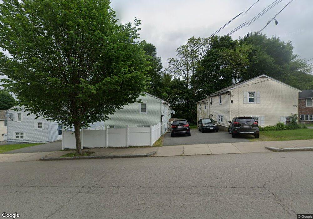
398 Poplar St Unit 398A Roslindale, MA 02131
Roslindale NeighborhoodEstimated Value: $497,000 - $552,946
3
Beds
2
Baths
927
Sq Ft
$574/Sq Ft
Est. Value
About This Home
This home is located at 398 Poplar St Unit 398A, Roslindale, MA 02131 and is currently estimated at $532,237, approximately $574 per square foot. 398 Poplar St Unit 398A is a home located in Suffolk County with nearby schools including Brooke Charter School Roslindale, Sacred Heart STEM School, and St. Clare High School.
Ownership History
Date
Name
Owned For
Owner Type
Purchase Details
Closed on
Jul 23, 2007
Sold by
Gouveia Suzanne
Bought by
Salum
Current Estimated Value
Home Financials for this Owner
Home Financials are based on the most recent Mortgage that was taken out on this home.
Original Mortgage
$243,000
Outstanding Balance
$151,487
Interest Rate
6.54%
Mortgage Type
Purchase Money Mortgage
Estimated Equity
$380,750
Purchase Details
Closed on
Aug 30, 2006
Sold by
Capone Cynthia L
Bought by
Gouveia Suzanne
Create a Home Valuation Report for This Property
The Home Valuation Report is an in-depth analysis detailing your home's value as well as a comparison with similar homes in the area
Home Values in the Area
Average Home Value in this Area
Purchase History
| Date | Buyer | Sale Price | Title Company |
|---|---|---|---|
| Salum | $243,000 | -- | |
| Salum | $243,000 | -- | |
| Gouveia Suzanne | $140,000 | -- |
Source: Public Records
Mortgage History
| Date | Status | Borrower | Loan Amount |
|---|---|---|---|
| Open | Salum | $243,000 | |
| Closed | Salum | $243,000 |
Source: Public Records
Tax History Compared to Growth
Tax History
| Year | Tax Paid | Tax Assessment Tax Assessment Total Assessment is a certain percentage of the fair market value that is determined by local assessors to be the total taxable value of land and additions on the property. | Land | Improvement |
|---|---|---|---|---|
| 2025 | $5,516 | $476,300 | $0 | $476,300 |
| 2024 | $4,372 | $401,100 | $0 | $401,100 |
| 2023 | $4,101 | $381,800 | $0 | $381,800 |
| 2022 | $3,882 | $356,800 | $0 | $356,800 |
| 2021 | $3,557 | $333,400 | $0 | $333,400 |
| 2020 | $3,410 | $322,900 | $0 | $322,900 |
| 2019 | $3,241 | $307,500 | $0 | $307,500 |
| 2018 | $3,223 | $307,500 | $0 | $307,500 |
| 2017 | $3,102 | $292,900 | $0 | $292,900 |
| 2016 | $2,928 | $266,200 | $0 | $266,200 |
| 2015 | $2,676 | $221,000 | $0 | $221,000 |
| 2014 | $2,595 | $206,300 | $0 | $206,300 |
Source: Public Records
Map
Nearby Homes
- 415 Poplar St
- 417 Poplar St
- 273 Metropolitan Ave Unit 2
- 25 Pinedale Rd Unit 1
- 15 Cornell St
- 16 Hilburn Place
- 142 Metropolitan Ave Unit A
- 25 Crandall St
- 75 Glendower Rd
- 89 Glendower Rd
- 4 Rowe Ct
- 5 7 Hemman St
- 67 Hautevale St
- 69 Metropolitan Ave
- 124 Glendower Rd Unit 2
- 23 Weeks Ave
- 175 Clare Ave Unit B3
- 543 Hyde Park Ave Unit 1
- 55 Metropolitan Ave
- 68 Asheville Rd
- 398 Poplar St
- 398 Poplar St Unit 1
- 398A Poplar St Unit A
- 400 Poplar St Unit 400A
- 396 Poplar St Unit 396A
- 402 Poplar St
- 394 Poplar St Unit 394A
- 22 Maynard St Unit 24
- 2 Maynard St Unit 2A
- 2A Maynard St
- 392 Poplar St
- 4 Maynard St Unit 4A
- 4 Maynard St Unit A
- 390 Poplar St
- 66A Maynard St
- 405 Poplar St
- 6 Maynard St Unit 6A
- 6 Maynard St Unit 1
- 6A Maynard St Unit A
- 399 Poplar St