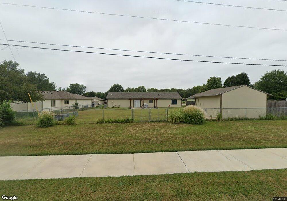
3989 Foxridge Dr Manhattan, KS 66502
Estimated Value: $261,000 - $281,407
3
Beds
2
Baths
1,400
Sq Ft
$193/Sq Ft
Est. Value
About This Home
This home is located at 3989 Foxridge Dr, Manhattan, KS 66502 and is currently estimated at $270,102, approximately $192 per square foot. 3989 Foxridge Dr is a home located in Pottawatomie County with nearby schools including Woodrow Wilson Elementary School, Dwight D. Eisenhower Middle School, and Manhattan High School.
Ownership History
Date
Name
Owned For
Owner Type
Purchase Details
Closed on
May 14, 2021
Sold by
Greif Dionne and Greif Wade
Bought by
Cox Brandon M and Cox Brandi M
Current Estimated Value
Purchase Details
Closed on
Jul 24, 2014
Sold by
Buchanan Karyl A
Bought by
Cox Brandon M
Home Financials for this Owner
Home Financials are based on the most recent Mortgage that was taken out on this home.
Original Mortgage
$153,675
Interest Rate
4.25%
Mortgage Type
FHA
Create a Home Valuation Report for This Property
The Home Valuation Report is an in-depth analysis detailing your home's value as well as a comparison with similar homes in the area
Home Values in the Area
Average Home Value in this Area
Purchase History
| Date | Buyer | Sale Price | Title Company |
|---|---|---|---|
| Cox Brandon M | -- | None Available | |
| Cox Brandon M | -- | None Available |
Source: Public Records
Mortgage History
| Date | Status | Borrower | Loan Amount |
|---|---|---|---|
| Previous Owner | Cox Brandon M | $153,675 |
Source: Public Records
Tax History Compared to Growth
Tax History
| Year | Tax Paid | Tax Assessment Tax Assessment Total Assessment is a certain percentage of the fair market value that is determined by local assessors to be the total taxable value of land and additions on the property. | Land | Improvement |
|---|---|---|---|---|
| 2025 | $2,404 | $26,214 | $3,809 | $22,405 |
| 2024 | $24 | $25,527 | $3,874 | $21,653 |
| 2023 | $2,517 | $25,202 | $3,818 | $21,384 |
| 2022 | $1,918 | $22,108 | $3,769 | $18,339 |
| 2021 | $1,918 | $20,470 | $3,631 | $16,839 |
| 2020 | $1,918 | $18,961 | $3,631 | $15,330 |
| 2019 | $1,980 | $19,308 | $3,493 | $15,815 |
| 2018 | $1,895 | $19,003 | $3,204 | $15,799 |
| 2017 | $1,817 | $18,609 | $2,933 | $15,676 |
| 2016 | $1,723 | $17,982 | $2,896 | $15,086 |
| 2015 | -- | $17,894 | $3,138 | $14,756 |
| 2014 | -- | $17,434 | $3,194 | $14,240 |
Source: Public Records
Map
Nearby Homes
- 8613 Eagles Landing Dr
- 4031 Bald Eagle Dr
- 8601 Eagle's Landing Dr
- 3902 Golden Eagle Dr
- 9109 Emily Cir
- 6100 Tumbleweed Terrace
- 4319 Aspen Dr
- 4314 Aspen Dr
- 4098 Tyler Ct
- 4105 Tyler Ct
- 8635 Williams
- Madeline Plan at Nelson Ridge
- Sutton Plan at Nelson Ridge
- Lennon Plan at Nelson Ridge
- Bianca Plan at Nelson Ridge
- Adalyn Plan at Nelson Ridge
- Scorpio Plan at Nelson Ridge
- Nicholas Plan at Nelson Ridge
- Beau Plan at Nelson Ridge
- Elsa Plan at Nelson Ridge
- 3989 Fox Ridge Dr
- 3983 Foxridge Dr
- 3983 Fox Ridge Dr
- 3995 Foxridge Dr
- 3977 Forrest Ln
- 3986 Fox Ridge Dr
- 0 Hunter's Dr
- 3986 Foxridge Dr
- 3971 Forrest Ln
- 3801 Foxridge Dr
- 3996 Foxridge Dr
- 3800 Fox Ridge Dr
- 3916 Fox Ridge Dr
- 3916 Foxridge Dr
- 3800 Foxridge Dr
- 3923 Forrest Ln
- 3807 Foxridge Dr
- 3910 Foxridge Dr
- 3806 Fox Ridge Dr
- 3806 Foxridge Dr