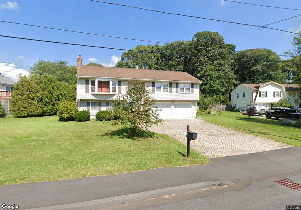
4 Annie j Cir Milford, MA 01757
Estimated Value: $599,287 - $615,000
3
Beds
2
Baths
1,920
Sq Ft
$318/Sq Ft
Est. Value
About This Home
This home is located at 4 Annie j Cir, Milford, MA 01757 and is currently estimated at $610,072, approximately $317 per square foot. 4 Annie j Cir is a home located in Worcester County with nearby schools including Milford High School.
Ownership History
Date
Name
Owned For
Owner Type
Purchase Details
Closed on
Dec 28, 1998
Sold by
Randall Scott E and Randall Emilee A
Bought by
Ferreira Carlos A
Current Estimated Value
Home Financials for this Owner
Home Financials are based on the most recent Mortgage that was taken out on this home.
Original Mortgage
$74,000
Interest Rate
6.89%
Mortgage Type
Purchase Money Mortgage
Purchase Details
Closed on
Apr 27, 1987
Sold by
Chouinard Paul J
Bought by
Randall Scott E
Home Financials for this Owner
Home Financials are based on the most recent Mortgage that was taken out on this home.
Original Mortgage
$143,200
Interest Rate
8.97%
Mortgage Type
Purchase Money Mortgage
Create a Home Valuation Report for This Property
The Home Valuation Report is an in-depth analysis detailing your home's value as well as a comparison with similar homes in the area
Home Values in the Area
Average Home Value in this Area
Purchase History
| Date | Buyer | Sale Price | Title Company |
|---|---|---|---|
| Ferreira Carlos A | $174,000 | -- | |
| Randall Scott E | $179,000 | -- |
Source: Public Records
Mortgage History
| Date | Status | Borrower | Loan Amount |
|---|---|---|---|
| Open | Randall Scott E | $100,000 | |
| Closed | Randall Scott E | $74,000 | |
| Previous Owner | Randall Scott E | $143,200 |
Source: Public Records
Tax History Compared to Growth
Tax History
| Year | Tax Paid | Tax Assessment Tax Assessment Total Assessment is a certain percentage of the fair market value that is determined by local assessors to be the total taxable value of land and additions on the property. | Land | Improvement |
|---|---|---|---|---|
| 2025 | $6,790 | $530,500 | $188,900 | $341,600 |
| 2024 | $6,606 | $497,100 | $181,300 | $315,800 |
| 2023 | $6,251 | $432,600 | $156,800 | $275,800 |
| 2022 | $6,011 | $390,600 | $143,600 | $247,000 |
| 2021 | $5,961 | $373,000 | $143,600 | $229,400 |
| 2020 | $5,856 | $366,900 | $143,600 | $223,300 |
| 2019 | $5,498 | $332,400 | $143,600 | $188,800 |
| 2018 | $5,226 | $315,600 | $139,800 | $175,800 |
| 2017 | $5,081 | $302,600 | $139,800 | $162,800 |
| 2016 | $4,874 | $283,700 | $139,800 | $143,900 |
| 2015 | $4,707 | $268,200 | $132,200 | $136,000 |
Source: Public Records
Map
Nearby Homes
- 8 Vassar Dr
- 20 Senate Rd
- 5 Stanford Cir
- 94 Highland St
- 8 Colonial Rd
- 44 Woodridge Rd
- 250 Congress St
- 14 C Country Club Ln
- 33 Country Club Ln Unit D
- 13 Hemlock Ln
- 54 Village Cir Unit 54
- 1 Godfrey Ln Unit 1
- 9 Robin Rd
- 44 Silver Hill Rd
- 62 Field Pond Rd
- 14 Country Club Ln Unit C
- 56 Village Cir
- 9 Hancock St
- 8 Country Club Ln Unit B
- 0 West St
- 125 Highland St
- 6 Annie j Cir
- 127 Highland St
- 5 Annie j Cir
- 129 Highland St
- 8 Annie j Cir
- 3 Annie j Cir
- 1 Annie j Cir
- 2 University Dr
- 1 University Dr
- 146 Highland St
- 42 N Vine St
- 9 Annie j Cir
- 10 Annie j Cir
- 144 Highland St
- 3 University Dr
- 152 Highland St
- 4 University Dr
- 121 Highland St Unit 1
- 40 N Vine St