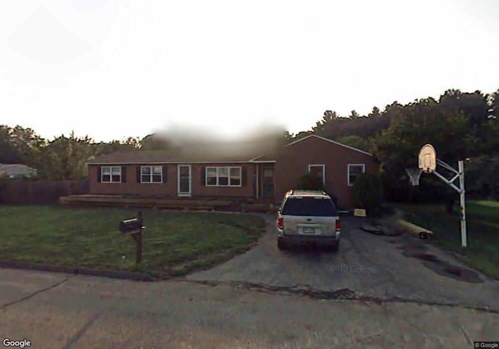
4 Ashby Cir Nashua, NH 03062
West Hollis NeighborhoodEstimated Value: $532,000 - $571,544
4
Beds
2
Baths
1,714
Sq Ft
$326/Sq Ft
Est. Value
About This Home
This home is located at 4 Ashby Cir, Nashua, NH 03062 and is currently estimated at $558,136, approximately $325 per square foot. 4 Ashby Cir is a home located in Hillsborough County with nearby schools including Main Dunstable School, Elm Street Middle School, and Nashua High School South.
Ownership History
Date
Name
Owned For
Owner Type
Purchase Details
Closed on
Jul 3, 2002
Sold by
Department Of Housing & Urban Dev
Bought by
Canales Juan A
Current Estimated Value
Home Financials for this Owner
Home Financials are based on the most recent Mortgage that was taken out on this home.
Original Mortgage
$162,000
Interest Rate
6.82%
Purchase Details
Closed on
Jan 17, 2002
Sold by
Brennan Sheila R
Bought by
Wells Fargo Home Mtg I
Purchase Details
Closed on
Feb 16, 2001
Sold by
Polsonetti Anthony W and Polsonetti Kathleen M
Bought by
Brennan Sheila R
Home Financials for this Owner
Home Financials are based on the most recent Mortgage that was taken out on this home.
Original Mortgage
$183,410
Interest Rate
7.08%
Create a Home Valuation Report for This Property
The Home Valuation Report is an in-depth analysis detailing your home's value as well as a comparison with similar homes in the area
Home Values in the Area
Average Home Value in this Area
Purchase History
| Date | Buyer | Sale Price | Title Company |
|---|---|---|---|
| Canales Juan A | $180,000 | -- | |
| Wells Fargo Home Mtg I | $198,000 | -- | |
| Brennan Sheila R | $184,900 | -- |
Source: Public Records
Mortgage History
| Date | Status | Borrower | Loan Amount |
|---|---|---|---|
| Open | Brennan Sheila R | $100,000 | |
| Closed | Brennan Sheila R | $109,602 | |
| Closed | Brennan Sheila R | $162,000 | |
| Previous Owner | Brennan Sheila R | $183,410 |
Source: Public Records
Tax History Compared to Growth
Tax History
| Year | Tax Paid | Tax Assessment Tax Assessment Total Assessment is a certain percentage of the fair market value that is determined by local assessors to be the total taxable value of land and additions on the property. | Land | Improvement |
|---|---|---|---|---|
| 2024 | $7,769 | $488,600 | $165,000 | $323,600 |
| 2023 | $7,542 | $413,700 | $132,000 | $281,700 |
| 2022 | $7,476 | $413,700 | $132,000 | $281,700 |
| 2021 | $7,305 | $314,600 | $88,000 | $226,600 |
| 2020 | $7,102 | $314,100 | $88,000 | $226,100 |
| 2019 | $6,835 | $314,100 | $88,000 | $226,100 |
| 2018 | $6,662 | $314,100 | $88,000 | $226,100 |
| 2017 | $6,463 | $250,600 | $68,400 | $182,200 |
| 2016 | $6,283 | $250,600 | $68,400 | $182,200 |
| 2015 | $5,608 | $228,600 | $68,400 | $160,200 |
| 2014 | $5,433 | $225,900 | $68,400 | $157,500 |
Source: Public Records
Map
Nearby Homes
- 5 Plainfield Ln
- 4 Chesapeake Rd
- 20 Martha St
- 11 Bartemus Trail Unit 204
- 1014 W Hollis St
- 76 Bartemus Trail Unit U231
- 46 Scenic Dr
- 12 Spring Cove Rd Unit U103
- 40 Spring Cove Rd Unit U117
- 12 Clovercrest Dr
- 25 Cortez Dr Unit U57
- 16 Laurel Ct Unit U320
- 334 Broad St
- 2 Matties Way
- 11 Rideout Rd
- 47 Dogwood Dr Unit U202
- 599 W Hollis St
- 27 Country Hill Rd Unit U90
- 3 Richmond St
- 4 Nelson St