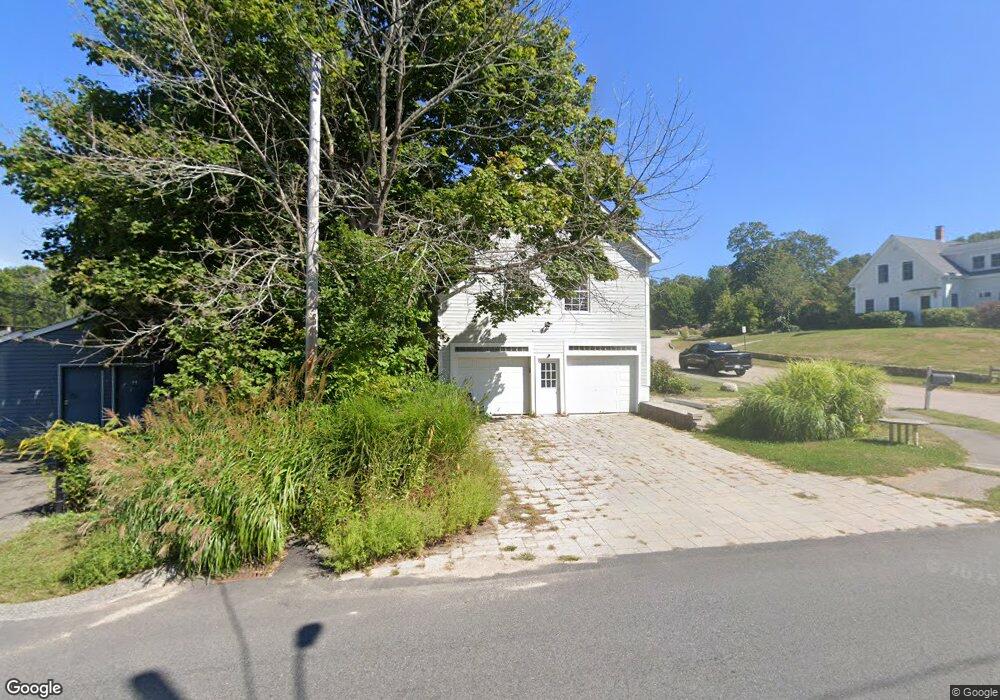
4 Bates Ln Cohasset, MA 02025
Estimated Value: $1,280,000 - $1,461,000
4
Beds
6
Baths
3,126
Sq Ft
$435/Sq Ft
Est. Value
About This Home
This home is located at 4 Bates Ln, Cohasset, MA 02025 and is currently estimated at $1,358,491, approximately $434 per square foot. 4 Bates Ln is a home located in Norfolk County with nearby schools including Joseph Osgood School, Deer Hill School, and Cohasset Middle School.
Ownership History
Date
Name
Owned For
Owner Type
Purchase Details
Closed on
Nov 6, 1985
Bought by
Siegel Frederic R and Trager Alison
Current Estimated Value
Create a Home Valuation Report for This Property
The Home Valuation Report is an in-depth analysis detailing your home's value as well as a comparison with similar homes in the area
Home Values in the Area
Average Home Value in this Area
Purchase History
| Date | Buyer | Sale Price | Title Company |
|---|---|---|---|
| Siegel Frederic R | -- | -- |
Source: Public Records
Mortgage History
| Date | Status | Borrower | Loan Amount |
|---|---|---|---|
| Closed | Siegel Frederic R | $170,000 |
Source: Public Records
Tax History
| Year | Tax Paid | Tax Assessment Tax Assessment Total Assessment is a certain percentage of the fair market value that is determined by local assessors to be the total taxable value of land and additions on the property. | Land | Improvement |
|---|---|---|---|---|
| 2025 | $11,856 | $1,023,800 | $351,100 | $672,700 |
| 2024 | $11,425 | $938,800 | $280,800 | $658,000 |
| 2023 | $10,945 | $927,500 | $280,900 | $646,600 |
| 2022 | $10,792 | $859,200 | $280,900 | $578,300 |
| 2021 | $10,916 | $837,100 | $280,900 | $556,200 |
| 2020 | $10,857 | $837,100 | $280,900 | $556,200 |
| 2019 | $10,799 | $837,100 | $280,900 | $556,200 |
| 2018 | $10,707 | $837,100 | $280,900 | $556,200 |
| 2017 | $10,636 | $814,400 | $267,400 | $547,000 |
| 2016 | $10,489 | $814,400 | $267,400 | $547,000 |
| 2015 | $10,296 | $810,100 | $267,400 | $542,700 |
| 2014 | $10,159 | $810,100 | $267,400 | $542,700 |
Source: Public Records
Map
Nearby Homes
- 34 Flintlock Ridge Rd
- 165 R Summer St
- 0 Bates Ln (Lot E Kevin's Way) Unit 73419598
- 27 Ox Pasture Ln
- 453 Clapp Rd
- 449 Clapp Rd
- 451 Clapp Rd
- 453 - 455 Clapp Rd
- 342 Summer St
- 67 Mount Hope St
- 45 Hemlock Way
- 71 Ledgewood Dr
- 28 Bayberry Ln
- 46 Pond St
- 11 Forest Ln
- 9 Forest Ln Unit 9
- 817 Country Way
- 31 Chittenden Ln Unit 31
- 101 Pond St
- 0 Mount Blue St
Your Personal Tour Guide
Ask me questions while you tour the home.