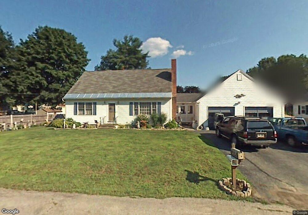
4 Briand Dr Nashua, NH 03063
Northwest Nashua NeighborhoodEstimated Value: $485,000 - $555,000
4
Beds
3
Baths
1,288
Sq Ft
$402/Sq Ft
Est. Value
About This Home
This home is located at 4 Briand Dr, Nashua, NH 03063 and is currently estimated at $517,533, approximately $401 per square foot. 4 Briand Dr is a home located in Hillsborough County with nearby schools including Broad Street Elementary School, Elm Street Middle School, and Nashua High School North.
Ownership History
Date
Name
Owned For
Owner Type
Purchase Details
Closed on
Sep 14, 2022
Sold by
Clark Robert V and Clark Sandra A
Bought by
Clark Ft and Clark
Current Estimated Value
Purchase Details
Closed on
Nov 7, 1979
Bought by
Clark Robert and Clark Sandra A
Create a Home Valuation Report for This Property
The Home Valuation Report is an in-depth analysis detailing your home's value as well as a comparison with similar homes in the area
Home Values in the Area
Average Home Value in this Area
Purchase History
| Date | Buyer | Sale Price | Title Company |
|---|---|---|---|
| Clark Ft | -- | None Available | |
| Clark Robert | -- | -- |
Source: Public Records
Mortgage History
| Date | Status | Borrower | Loan Amount |
|---|---|---|---|
| Previous Owner | Clark Robert | $90,000 | |
| Previous Owner | Clark Robert | $75,000 |
Source: Public Records
Tax History Compared to Growth
Tax History
| Year | Tax Paid | Tax Assessment Tax Assessment Total Assessment is a certain percentage of the fair market value that is determined by local assessors to be the total taxable value of land and additions on the property. | Land | Improvement |
|---|---|---|---|---|
| 2024 | $7,525 | $473,300 | $160,400 | $312,900 |
| 2023 | $7,106 | $389,800 | $128,300 | $261,500 |
| 2022 | $7,044 | $389,800 | $128,300 | $261,500 |
| 2021 | $6,481 | $279,100 | $85,500 | $193,600 |
| 2020 | $6,310 | $279,100 | $85,500 | $193,600 |
| 2019 | $6,073 | $279,100 | $85,500 | $193,600 |
| 2018 | $5,420 | $279,100 | $85,500 | $193,600 |
| 2017 | $6,200 | $240,400 | $83,800 | $156,600 |
| 2016 | $6,027 | $240,400 | $83,800 | $156,600 |
| 2015 | $5,897 | $240,400 | $83,800 | $156,600 |
| 2014 | $5,782 | $240,400 | $83,800 | $156,600 |
Source: Public Records
Map
Nearby Homes
- 11 Inca Dr
- 424 Broad St
- 239 Broad St
- 5 Meghan Dr Unit U23
- 14 Parrish Hill Dr
- 6 Cornwall Ln Unit 7
- 4 Nelson St
- 3 Richmond St
- 27 Country Hill Rd Unit U90
- 36 Hampton Dr
- 22 Cathedral Cir
- 19 Dunloggin Rd
- 4 Jared Cir Unit U21
- 5 Chatfield Dr Unit U18
- 7 Robert Dr
- 599 W Hollis St
- 8 Althea Ln Unit U26
- 247 Main Dunstable Rd
- 41 New Dunstable Rd Unit 371
- 22 New Dunstable Rd Unit 132133