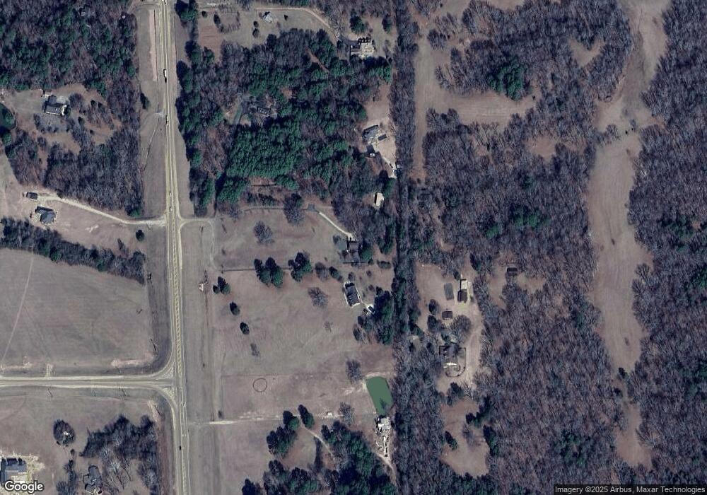
4 County Road 2060 Oxford, MS 38655
Estimated Value: $630,000 - $722,716
--
Bed
--
Bath
3,029
Sq Ft
$222/Sq Ft
Est. Value
About This Home
This home is located at 4 County Road 2060, Oxford, MS 38655 and is currently estimated at $672,179, approximately $221 per square foot. 4 County Road 2060 is a home located in Lafayette County with nearby schools including Lafayette Elementary School, Lafayette Upper Elementary School, and Lafayette Middle School.
Ownership History
Date
Name
Owned For
Owner Type
Purchase Details
Closed on
Oct 16, 2024
Sold by
Rhoton Fred E and Rhoton Sandra B
Bought by
Kendricks Samuel B and Kendricks Susan T
Current Estimated Value
Purchase Details
Closed on
May 6, 2005
Sold by
Anderson Eugene R and Anderson Sandra
Bought by
Rhoton Fred E and Rhoton Sandra B
Home Financials for this Owner
Home Financials are based on the most recent Mortgage that was taken out on this home.
Original Mortgage
$235,727
Interest Rate
5.88%
Mortgage Type
Future Advance Clause Open End Mortgage
Create a Home Valuation Report for This Property
The Home Valuation Report is an in-depth analysis detailing your home's value as well as a comparison with similar homes in the area
Home Values in the Area
Average Home Value in this Area
Purchase History
| Date | Buyer | Sale Price | Title Company |
|---|---|---|---|
| Kendricks Samuel B | -- | None Listed On Document | |
| Rhoton Fred E | -- | None Available |
Source: Public Records
Mortgage History
| Date | Status | Borrower | Loan Amount |
|---|---|---|---|
| Previous Owner | Rhoton Fred E | $235,727 |
Source: Public Records
Tax History Compared to Growth
Tax History
| Year | Tax Paid | Tax Assessment Tax Assessment Total Assessment is a certain percentage of the fair market value that is determined by local assessors to be the total taxable value of land and additions on the property. | Land | Improvement |
|---|---|---|---|---|
| 2024 | $2,714 | $32,612 | $0 | $0 |
| 2023 | $2,714 | $32,612 | $0 | $0 |
| 2022 | $2,664 | $32,612 | $0 | $0 |
| 2021 | $2,705 | $32,612 | $0 | $0 |
| 2020 | $2,649 | $32,469 | $0 | $0 |
| 2019 | $2,649 | $32,469 | $0 | $0 |
| 2018 | $2,655 | $32,469 | $0 | $0 |
| 2017 | $2,661 | $32,522 | $0 | $0 |
| 2016 | $2,444 | $30,743 | $0 | $0 |
| 2015 | -- | $29,961 | $0 | $0 |
| 2014 | -- | $29,961 | $0 | $0 |
Source: Public Records
Map
Nearby Homes
- 363 Mississippi 7
- 460A Mississippi 7
- TBD Cr 207
- 505 Woodland Hills Dr
- 303 Woodland Hills Dr
- 206 Northpointe Blvd
- 634 Centerpointe Cove
- 102 Robin Way
- 511 Canterbury Dr
- 57 Cr 178
- 504 Canterbury Dr
- 939 Hurricane Ln
- 1018 Briarwood Dr
- 207 Avalon Ln
- 218 Avalon Ln
- 0 Ferndale Blvd
- Lot 6 Ferndale Blvd
- 492 Co Rd 101
- 492 County Road 101
- 407-A Highway 30 E
- 4 Cr 2060
- 2 Pr 2060
- 2 Pr 4069
- 62 County Road 299
- 6 County Road 2060
- 58 County Road 299
- 8 County Road 2060
- 392 Highway 7 N
- 430 Highway 7 N
- 390 Highway 7 N
- 388 Highway 7 N
- 407 Highway 7 N
- 438 Highway 7 N
- 438 Highway 7 N
- 415 Highway 7 N
- 415 Highway 7 N
- 385 Highway 7 N
- 385 Highway 7 N
- 423 Highway 7 N
- 440 Highway 7 N
