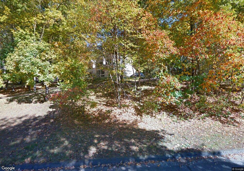
4 Crows Nest Ln Sandy Hook, CT 06482
Estimated Value: $744,328 - $829,000
4
Beds
4
Baths
2,722
Sq Ft
$291/Sq Ft
Est. Value
About This Home
This home is located at 4 Crows Nest Ln, Sandy Hook, CT 06482 and is currently estimated at $791,332, approximately $290 per square foot. 4 Crows Nest Ln is a home located in Fairfield County with nearby schools including Hawley Elementary School, Reed Intermediate School, and Newtown Middle School.
Ownership History
Date
Name
Owned For
Owner Type
Purchase Details
Closed on
Mar 19, 2024
Sold by
Minor Cynthia N
Bought by
Cynthia N Minor Ret and Minor
Current Estimated Value
Purchase Details
Closed on
Oct 19, 1993
Sold by
Aragi Ent
Bought by
Minor F David and Minor Cynthia
Home Financials for this Owner
Home Financials are based on the most recent Mortgage that was taken out on this home.
Original Mortgage
$200,000
Interest Rate
6.87%
Mortgage Type
Unknown
Create a Home Valuation Report for This Property
The Home Valuation Report is an in-depth analysis detailing your home's value as well as a comparison with similar homes in the area
Home Values in the Area
Average Home Value in this Area
Purchase History
| Date | Buyer | Sale Price | Title Company |
|---|---|---|---|
| Cynthia N Minor Ret | -- | None Available | |
| Cynthia N Minor Ret | -- | None Available | |
| Cynthia N Minor Ret | -- | None Available | |
| Minor F David | $251,000 | -- | |
| Aragi Ent Inc | $75,000 | -- | |
| Minor F David F | $251,000 | -- |
Source: Public Records
Mortgage History
| Date | Status | Borrower | Loan Amount |
|---|---|---|---|
| Previous Owner | Minor F David F | $170,000 | |
| Previous Owner | Minor F David F | $200,000 |
Source: Public Records
Tax History
| Year | Tax Paid | Tax Assessment Tax Assessment Total Assessment is a certain percentage of the fair market value that is determined by local assessors to be the total taxable value of land and additions on the property. | Land | Improvement |
|---|---|---|---|---|
| 2025 | $11,607 | $403,860 | $101,670 | $302,190 |
| 2024 | $10,892 | $403,860 | $101,670 | $302,190 |
| 2023 | $10,597 | $403,860 | $101,670 | $302,190 |
| 2022 | $9,927 | $286,320 | $88,880 | $197,440 |
| 2021 | $9,921 | $286,320 | $88,880 | $197,440 |
| 2020 | $9,952 | $286,320 | $88,880 | $197,440 |
| 2019 | $9,955 | $286,320 | $88,880 | $197,440 |
| 2018 | $9,804 | $286,320 | $88,880 | $197,440 |
| 2017 | $9,735 | $287,430 | $85,190 | $202,240 |
| 2016 | $9,658 | $287,430 | $85,190 | $202,240 |
| 2015 | $9,505 | $287,430 | $85,190 | $202,240 |
| 2014 | $9,574 | $287,430 | $85,190 | $202,240 |
Source: Public Records
Map
Nearby Homes
- 4 Shady Rest Blvd
- 7 Ford Rd
- 5 Shepaug Rd
- 17 Buttonball Dr
- 600 Berkshire Rd
- 56 Walnut Tree Hill Rd
- 12 Valley Field Rd S
- 41 Chipmunk Trail
- 4 Sunnyview Terrace
- 32 Old Green Rd
- 123 Louis Hill Rd
- 25 Saint George Place
- 7 Dayton St
- 108 Riverside Rd
- 22 Hemlock Trail
- 6 Crestwood Dr
- 89 Alpine Dr
- 105 Lower Fish Rock Rd
- 16A Pole Bridge Rd
- 175 Hollow Swamp Rd
- 5 Crows Nest Ln
- 2 Crows Nest Ln
- 6 Crows Nest Ln
- 3 Crows Nest Ln
- 1 Crows Nest Ln
- 32 Farm Field Ridge Rd
- 7 Crows Nest Ln
- 19 Farm Field Ridge Rd
- 38 Farm Field Ridge Rd
- 17 Farm Field Ridge Rd
- 21 Farm Field Ridge Rd
- 40 Farm Field Ridge Rd
- 28 Farm Field Ridge Rd
- 156 Walnut Tree Hill Rd
- 154 Walnut Tree Hill Rd
- 120 Walnut Tree Hill Rd
- 158 Walnut Tree Hill Rd
- 42 Black Bridge Rd
- 130 Walnut Tree Hill Rd
Your Personal Tour Guide
Ask me questions while you tour the home.