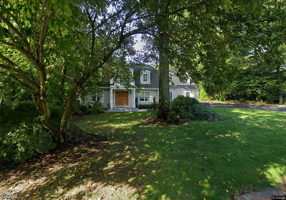
4 Cypress Point Dr Purchase, NY 10577
Purchase NeighborhoodEstimated Value: $1,603,000 - $1,940,000
Studio
3
Baths
3,750
Sq Ft
$475/Sq Ft
Est. Value
About This Home
This home is located at 4 Cypress Point Dr, Purchase, NY 10577 and is currently estimated at $1,780,890, approximately $474 per square foot. 4 Cypress Point Dr is a home located in Westchester County with nearby schools including Purchase School, Louis M. Klein Middle School, and Harrison High School.
Ownership History
Date
Name
Owned For
Owner Type
Purchase Details
Closed on
May 16, 2005
Sold by
Benerofe Barbara and Wechsler Barbara
Bought by
Weissman Ross and Defranco Francesca
Current Estimated Value
Home Financials for this Owner
Home Financials are based on the most recent Mortgage that was taken out on this home.
Original Mortgage
$768,750
Interest Rate
5.94%
Mortgage Type
Fannie Mae Freddie Mac
Create a Home Valuation Report for This Property
The Home Valuation Report is an in-depth analysis detailing your home's value as well as a comparison with similar homes in the area
Home Values in the Area
Average Home Value in this Area
Purchase History
| Date | Buyer | Sale Price | Title Company |
|---|---|---|---|
| Weissman Ross | $1,025,000 | -- |
Source: Public Records
Mortgage History
| Date | Status | Borrower | Loan Amount |
|---|---|---|---|
| Previous Owner | Weissman Ross | $768,750 |
Source: Public Records
Tax History
| Year | Tax Paid | Tax Assessment Tax Assessment Total Assessment is a certain percentage of the fair market value that is determined by local assessors to be the total taxable value of land and additions on the property. | Land | Improvement |
|---|---|---|---|---|
| 2024 | $28,736 | $17,300 | $1,500 | $15,800 |
| 2023 | $30,524 | $17,300 | $1,500 | $15,800 |
| 2022 | $27,062 | $17,300 | $1,500 | $15,800 |
| 2021 | $26,540 | $17,300 | $1,500 | $15,800 |
| 2020 | $28,545 | $17,300 | $1,500 | $15,800 |
| 2019 | $27,320 | $17,300 | $1,500 | $15,800 |
| 2018 | $17,110 | $17,300 | $1,500 | $15,800 |
| 2017 | $0 | $17,300 | $1,500 | $15,800 |
| 2016 | $25,421 | $17,300 | $1,500 | $15,800 |
| 2015 | -- | $17,300 | $1,500 | $15,800 |
| 2014 | -- | $20,750 | $1,500 | $19,250 |
| 2013 | -- | $20,750 | $1,500 | $19,250 |
Source: Public Records
Map
Nearby Homes
- 27 Woodside Ave
- 6 Century Ridge Rd
- 40 Brae Burn Dr
- 24 Old Well Rd
- 5 Augusta Ct
- 96 White Plains Ave
- 165 Columbus Ave Unit 2A
- 196 Underhill Ave Unit 2A
- 21 Brae Burn Dr
- 18 Stone Bridge Rd
- 15 Stone Bridge Rd
- 126 Underhill Ave Unit 1A
- 96 Underhill Ave Unit 2B
- 92 Underhill Ave Unit 1B
- 107 Underhill Ave
- 14 Stone Bridge Rd
- 67 Columbus Ave Unit 1A
- 62 Underhill Ave Unit 1A
- 62 Underhill Ave Unit 2B
- 65 Buckout Rd
- 6 Cypress Point Dr
- 40 Pinehurst Dr
- 1 Oakmont Dr
- 3 Oakmont Dr
- 8 Cypress Point Dr
- 3 Cypress Point Dr
- 1 Cypress Point Dr
- 5 Cypress Point Dr
- 10 Cypress Point Dr
- 41 Pinehurst Dr
- 39 Pinehurst Dr
- 43 Pinehurst Dr
- 34 Pinehurst Dr
- 50 Century Ridge Rd
- 3 Baltusrol Dr
- 37 Pinehurst Dr
- 12 Cypress Point Dr
- 7 Cypress Point Dr
- 4 Oakmont Dr
- 1 Tam o Shanter Dr
Your Personal Tour Guide
Ask me questions while you tour the home.