Estimated Value: $499,656 - $693,000
2
Beds
3
Baths
2,832
Sq Ft
$198/Sq Ft
Est. Value
About This Home
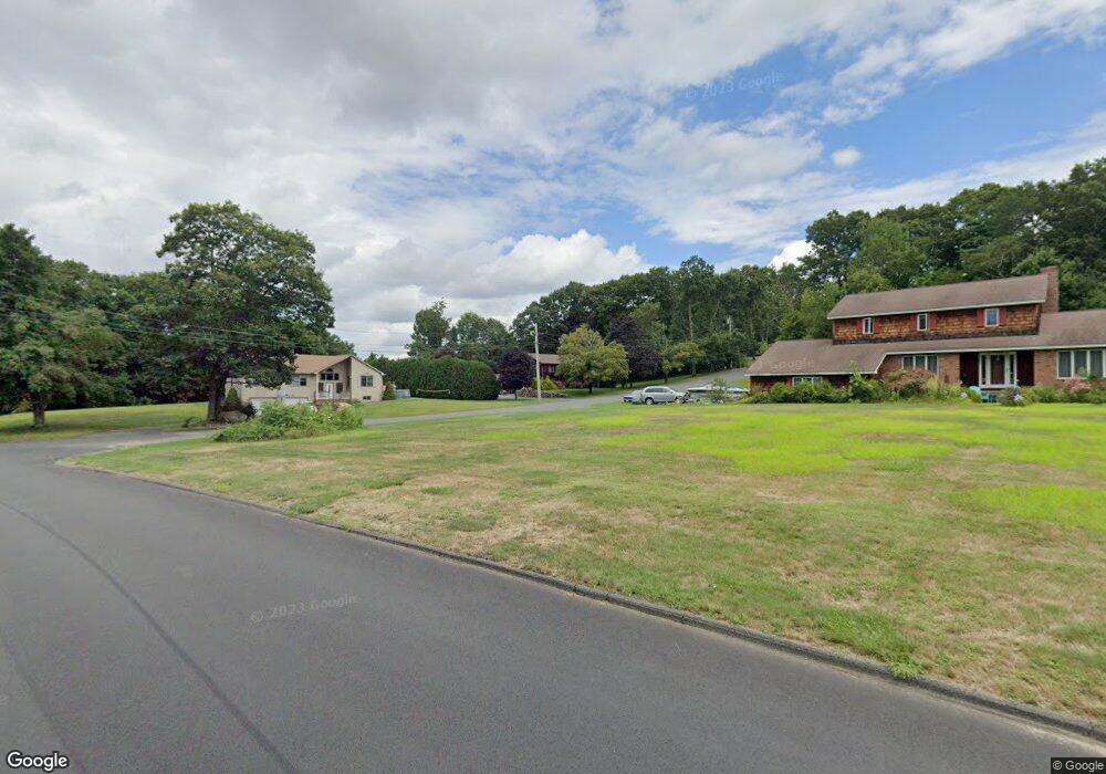
This home is located at 4 Desantis Dr, Ware, MA 01082 and is currently estimated at $561,914, approximately $198 per square foot. 4 Desantis Dr is a home located in Hampshire County with nearby schools including Stanley M. Koziol Elementary School, Ware Middle School, and Ware Junior/Senior High School.
Ownership History
Date
Name
Owned For
Owner Type
Purchase Details
Closed on
Jun 30, 2000
Sold by
Mccrystal John J
Bought by
Saletnik Patrick A
Current Estimated Value
Home Financials for this Owner
Home Financials are based on the most recent Mortgage that was taken out on this home.
Original Mortgage
$70,000
Interest Rate
8.59%
Mortgage Type
Purchase Money Mortgage
Create a Home Valuation Report for This Property
The Home Valuation Report is an in-depth analysis detailing your home's value as well as a comparison with similar homes in the area
Home Values in the Area
Average Home Value in this Area
Purchase History
| Date | Buyer | Sale Price | Title Company |
|---|---|---|---|
| Saletnik Patrick A | $224,000 | -- |
Source: Public Records
Mortgage History
| Date | Status | Borrower | Loan Amount |
|---|---|---|---|
| Open | Saletnik Patrick A | $58,650 | |
| Closed | Saletnik Patrick A | $70,000 | |
| Previous Owner | Saletnik Patrick A | $100,000 |
Source: Public Records
Tax History
| Year | Tax Paid | Tax Assessment Tax Assessment Total Assessment is a certain percentage of the fair market value that is determined by local assessors to be the total taxable value of land and additions on the property. | Land | Improvement |
|---|---|---|---|---|
| 2025 | $7,705 | $511,600 | $50,700 | $460,900 |
| 2024 | $7,360 | $450,700 | $47,900 | $402,800 |
| 2023 | $6,833 | $395,900 | $46,100 | $349,800 |
| 2022 | $6,446 | $333,300 | $42,700 | $290,600 |
| 2021 | $6,258 | $310,100 | $42,700 | $267,400 |
| 2020 | $6,302 | $305,500 | $42,700 | $262,800 |
| 2019 | $6,174 | $305,500 | $42,700 | $262,800 |
| 2018 | $5,935 | $286,600 | $41,600 | $245,000 |
| 2017 | $5,795 | $279,000 | $44,200 | $234,800 |
| 2016 | $5,639 | $279,000 | $44,200 | $234,800 |
| 2015 | $5,482 | $279,000 | $44,200 | $234,800 |
| 2014 | $5,392 | $294,500 | $44,500 | $250,000 |
Source: Public Records
Map
Nearby Homes
- 201 West St
- 310 Palmer Rd
- 201 Belchertown Rd
- 375 Belchertown Rd
- LOT 3 Monson Turnpike Rd
- 30 Warebrook Village
- 67 Babcock Tavern Rd
- 24 Clinton St
- Lot 16 Coldbrook Dr
- Lot 20 Coldbrook Dr
- Lot 22 Coldbrook Dr
- Lot 13 Coldbrook Dr
- Lot 25 Coldbrook Dr
- 87 W Main St
- 6 Winslow Rd
- 23 West St Unit 25
- 7 Webb Ct
- 60 Quaboag Valley Co Op St
- 79 Pleasant St
- 44 South St
Your Personal Tour Guide
Ask me questions while you tour the home.