4 Grape Ave Gilmanton, NH 03237
Estimated Value: $271,000 - $323,000
2
Beds
1
Bath
701
Sq Ft
$422/Sq Ft
Est. Value
About This Home
This home is located at 4 Grape Ave, Gilmanton, NH 03237 and is currently estimated at $295,479, approximately $421 per square foot. 4 Grape Ave is a home located in Belknap County with nearby schools including Gilmanton Elementary School and Gilford High School.
Ownership History
Date
Name
Owned For
Owner Type
Purchase Details
Closed on
Mar 26, 2002
Sold by
Est Twardosky Joanne H
Bought by
Twardosky Gerald Walter
Current Estimated Value
Home Financials for this Owner
Home Financials are based on the most recent Mortgage that was taken out on this home.
Original Mortgage
$56,000
Outstanding Balance
$23,380
Interest Rate
6.91%
Estimated Equity
$272,099
Create a Home Valuation Report for This Property
The Home Valuation Report is an in-depth analysis detailing your home's value as well as a comparison with similar homes in the area
Home Values in the Area
Average Home Value in this Area
Purchase History
| Date | Buyer | Sale Price | Title Company |
|---|---|---|---|
| Twardosky Gerald Walter | $80,000 | -- |
Source: Public Records
Mortgage History
| Date | Status | Borrower | Loan Amount |
|---|---|---|---|
| Open | Twardosky Gerald Walter | $20,000 | |
| Open | Twardosky Gerald Walter | $56,000 |
Source: Public Records
Tax History Compared to Growth
Tax History
| Year | Tax Paid | Tax Assessment Tax Assessment Total Assessment is a certain percentage of the fair market value that is determined by local assessors to be the total taxable value of land and additions on the property. | Land | Improvement |
|---|---|---|---|---|
| 2024 | $3,639 | $246,900 | $129,700 | $117,200 |
| 2023 | $2,966 | $126,800 | $67,600 | $59,200 |
| 2022 | $3,039 | $126,800 | $67,600 | $59,200 |
| 2021 | $2,980 | $126,800 | $67,600 | $59,200 |
| 2020 | $2,942 | $126,800 | $67,600 | $59,200 |
| 2019 | $2,890 | $126,800 | $67,600 | $59,200 |
| 2018 | $2,455 | $96,900 | $46,500 | $50,400 |
| 2017 | $2,403 | $96,900 | $46,500 | $50,400 |
| 2016 | $2,317 | $96,900 | $46,500 | $50,400 |
| 2015 | $2,514 | $96,900 | $46,500 | $50,400 |
| 2014 | $2,222 | $96,900 | $46,500 | $50,400 |
| 2013 | $2,299 | $108,700 | $56,500 | $52,200 |
Source: Public Records
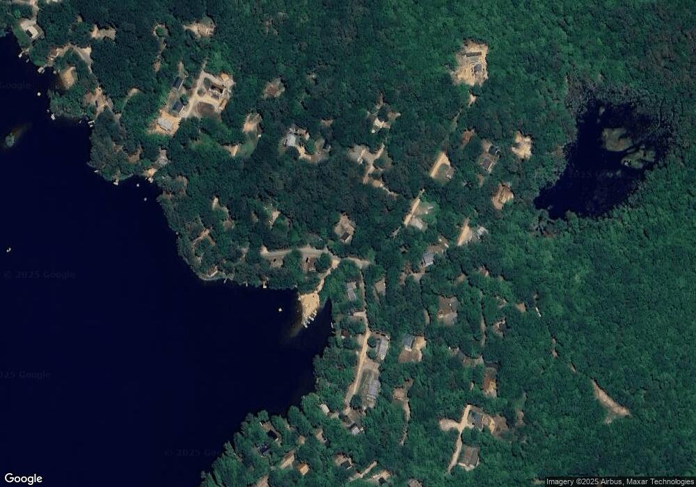
Map
Nearby Homes
- 0 Plum Ave Unit 99 5045503
- 200 Hemlock Dr
- 2 Brook Ave
- 0 Birch Ave Unit 48
- 159 Province Rd
- 32 Weeks Rd
- 493 Province Rd
- 47 Dock Rd
- 203 Middle Route
- 0 Province Rd Unit 5068495
- 585 Province Rd
- 8 Jodi Dr
- 628 Province Rd
- 126 Aiden Cir
- 36 Country Side Cir
- 38 Country Side Cir
- 00 Intervale Dr Unit 51
- 00 Winter St Unit 42
- 218 Wild Acres Rd
- 0000 Cedar Dr Unit 10000