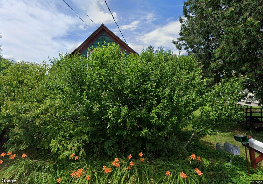
4 Grove St Gill, MA 01354
Gill NeighborhoodEstimated Value: $292,712 - $365,000
1
Bed
1
Bath
1,354
Sq Ft
$243/Sq Ft
Est. Value
About This Home
This home is located at 4 Grove St, Gill, MA 01354 and is currently estimated at $329,428, approximately $243 per square foot. 4 Grove St is a home located in Franklin County with nearby schools including Holy Trinity School, Four Winds School, and Stoneleigh-Burnham School.
Ownership History
Date
Name
Owned For
Owner Type
Purchase Details
Closed on
Mar 20, 2015
Sold by
Ward John R
Bought by
Ward John R and Chang Claire
Current Estimated Value
Purchase Details
Closed on
Sep 1, 1995
Sold by
Ward Joan M
Bought by
Ward John R
Home Financials for this Owner
Home Financials are based on the most recent Mortgage that was taken out on this home.
Original Mortgage
$63,750
Interest Rate
7.61%
Mortgage Type
Purchase Money Mortgage
Purchase Details
Closed on
Jul 31, 1987
Sold by
Sullivan Richard V
Bought by
Zentagraf Francis C
Home Financials for this Owner
Home Financials are based on the most recent Mortgage that was taken out on this home.
Original Mortgage
$63,000
Interest Rate
10.43%
Mortgage Type
Purchase Money Mortgage
Create a Home Valuation Report for This Property
The Home Valuation Report is an in-depth analysis detailing your home's value as well as a comparison with similar homes in the area
Home Values in the Area
Average Home Value in this Area
Purchase History
| Date | Buyer | Sale Price | Title Company |
|---|---|---|---|
| Ward John R | -- | -- | |
| Ward John R | $13,000 | -- | |
| Zentagraf Francis C | $70,000 | -- |
Source: Public Records
Mortgage History
| Date | Status | Borrower | Loan Amount |
|---|---|---|---|
| Previous Owner | Zentagraf Francis C | $58,000 | |
| Previous Owner | Zentagraf Francis C | $63,750 | |
| Previous Owner | Zentagraf Francis C | $63,000 | |
| Closed | Zentagraf Francis C | $8,250 |
Source: Public Records
Tax History Compared to Growth
Tax History
| Year | Tax Paid | Tax Assessment Tax Assessment Total Assessment is a certain percentage of the fair market value that is determined by local assessors to be the total taxable value of land and additions on the property. | Land | Improvement |
|---|---|---|---|---|
| 2025 | $3,521 | $240,200 | $84,000 | $156,200 |
| 2024 | $3,367 | $217,500 | $77,900 | $139,600 |
| 2023 | $3,242 | $196,000 | $70,800 | $125,200 |
| 2022 | $3,242 | $194,600 | $67,500 | $127,100 |
| 2021 | $3,226 | $186,600 | $67,500 | $119,100 |
| 2020 | $3,177 | $184,200 | $67,500 | $116,700 |
| 2019 | $2,893 | $167,600 | $67,500 | $100,100 |
| 2018 | $2,678 | $155,900 | $67,500 | $88,400 |
| 2017 | $2,510 | $151,400 | $63,000 | $88,400 |
| 2016 | $2,465 | $146,300 | $63,800 | $82,500 |
| 2015 | $2,465 | $146,300 | $63,800 | $82,500 |
Source: Public Records
Map
Nearby Homes
- 30 Park St
- 21 Hillside Ave
- 0 Millers Falls Rd Unit 73034825
- 45 Millers Falls Rd
- 2 Alice St
- 89 Montague St
- 001 Adams Rd
- 114 Montague St
- 202 Turnpike Rd
- 183 Millers Falls Rd
- 79 Burnham Rd
- 696 Bernardston Rd
- 182 Main Rd
- 31 Lovers Ln
- 72 Meadowood Dr
- 55 A + B Randall Rd
- 38 Randall Wood Dr
- 335 Federal St
- 35-37 Shattuck St
- 35 Shattuck St Unit 37