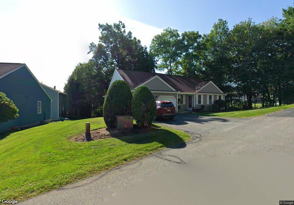
4 Ivy Ln Unit U133 Nashua, NH 03063
Northwest Nashua NeighborhoodEstimated Value: $527,276 - $574,000
3
Beds
3
Baths
1,526
Sq Ft
$365/Sq Ft
Est. Value
About This Home
This home is located at 4 Ivy Ln Unit U133, Nashua, NH 03063 and is currently estimated at $556,319, approximately $364 per square foot. 4 Ivy Ln Unit U133 is a home located in Hillsborough County with nearby schools including Birch Hill Elementary School, Elm Street Middle School, and Nashua High School North.
Ownership History
Date
Name
Owned For
Owner Type
Purchase Details
Closed on
May 21, 2020
Sold by
Claire A Abel T
Bought by
Hendrickson Judith D
Current Estimated Value
Purchase Details
Closed on
Dec 6, 2012
Sold by
Abel Claire A
Bought by
Claire A Abel T
Create a Home Valuation Report for This Property
The Home Valuation Report is an in-depth analysis detailing your home's value as well as a comparison with similar homes in the area
Home Values in the Area
Average Home Value in this Area
Purchase History
| Date | Buyer | Sale Price | Title Company |
|---|---|---|---|
| Hendrickson Judith D | $360,000 | None Available | |
| Claire A Abel T | -- | -- |
Source: Public Records
Tax History Compared to Growth
Tax History
| Year | Tax Paid | Tax Assessment Tax Assessment Total Assessment is a certain percentage of the fair market value that is determined by local assessors to be the total taxable value of land and additions on the property. | Land | Improvement |
|---|---|---|---|---|
| 2024 | $8,758 | $550,800 | $0 | $550,800 |
| 2023 | $7,912 | $434,000 | $0 | $434,000 |
| 2022 | $7,842 | $434,000 | $0 | $434,000 |
| 2021 | $7,600 | $327,300 | $0 | $327,300 |
| 2020 | $7,393 | $327,000 | $0 | $327,000 |
| 2019 | $7,116 | $327,000 | $0 | $327,000 |
| 2018 | $6,936 | $327,000 | $0 | $327,000 |
| 2017 | $7,293 | $282,800 | $0 | $282,800 |
| 2016 | $7,090 | $282,800 | $0 | $282,800 |
| 2015 | $6,937 | $282,800 | $0 | $282,800 |
| 2014 | $6,801 | $282,800 | $0 | $282,800 |
Source: Public Records
Map
Nearby Homes
- 36 Hampton Dr
- 4 Jared Cir Unit U21
- 5 Chatfield Dr Unit U18
- 14 Parrish Hill Dr
- 424 Broad St
- 22 Cathedral Cir
- 6 Cornwall Ln Unit 7
- 239 Broad St
- 5 Meghan Dr Unit U23
- 7 Robert Dr
- 19 Dunloggin Rd
- 8 Pilgrim Cir
- 10 Pilgrim Cir
- 3 Richmond St
- 4 Nelson St
- 11 Inca Dr
- 334 Broad St
- 199 Pine Hill Rd
- 27 Country Hill Rd Unit U90
- 77 Deerwood Dr Unit E
- 6 Ivy Ln Unit U132
- 2 Ivy Ln Unit U134
- 5 Thresher Rd Unit U135
- 5 Ivy Ln Unit U131
- 3 Brentwood Ave Unit U48
- 3 Ivy Ln Unit U130
- 7 Thresher Rd Unit U138
- 1 Brentwood Ave Unit U49
- 4 Brentwood Ave Unit U47
- 1 Ivy Ln Unit U129
- 2 Brentwood Ave Unit U46
- 4 Thresher Rd Unit U136
- 9 Thresher Rd Unit U51
- 3 Thresher Rd Unit U20
- 1 Sugar Hill Dr Unit U45
- 6 Thresher Rd Unit U137
- 11 Thresher Rd Unit U50
- 2 Cobbler Ln Unit U53
- 15 Stockton Dr Unit U126
- 8 Stockton Dr Unit U127