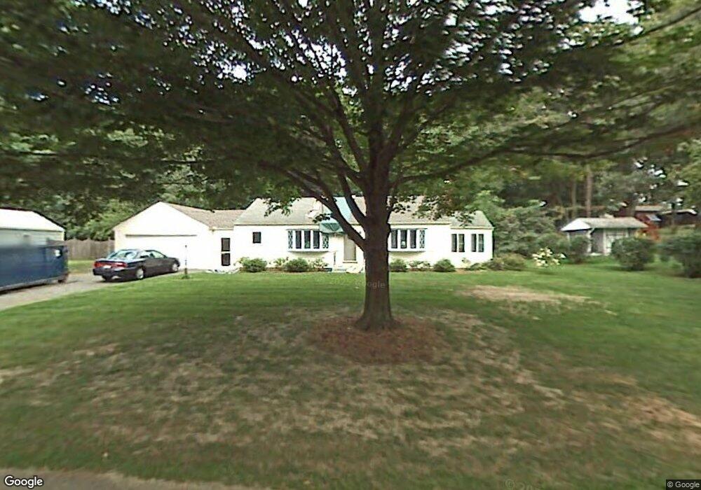
4 Leemond St Wilbraham, MA 01095
Estimated Value: $331,957 - $377,000
2
Beds
1
Bath
1,092
Sq Ft
$326/Sq Ft
Est. Value
About This Home
This home is located at 4 Leemond St, Wilbraham, MA 01095 and is currently estimated at $355,989, approximately $325 per square foot. 4 Leemond St is a home located in Hampden County with nearby schools including Minnechaug Regional High School, Springfield International Charter School, and Wilbraham & Monson Academy.
Ownership History
Date
Name
Owned For
Owner Type
Purchase Details
Closed on
Jul 29, 2022
Sold by
Christensen Mary S and Sheehan Edward T
Bought by
Sheehan Timothy P
Current Estimated Value
Home Financials for this Owner
Home Financials are based on the most recent Mortgage that was taken out on this home.
Original Mortgage
$241,428
Outstanding Balance
$230,703
Interest Rate
5.78%
Mortgage Type
Purchase Money Mortgage
Estimated Equity
$125,286
Purchase Details
Closed on
Jul 30, 2008
Sold by
Sheehan Edward T and Sheehan Florence M
Bought by
Christensen Mary C and Sheehan Gerald P
Purchase Details
Closed on
Nov 30, 2000
Sold by
Taylor Joann T Est and Dunklee
Bought by
Sheehan Edward T and Sheehan Florence M
Home Financials for this Owner
Home Financials are based on the most recent Mortgage that was taken out on this home.
Original Mortgage
$40,000
Interest Rate
7.71%
Create a Home Valuation Report for This Property
The Home Valuation Report is an in-depth analysis detailing your home's value as well as a comparison with similar homes in the area
Home Values in the Area
Average Home Value in this Area
Purchase History
| Date | Buyer | Sale Price | Title Company |
|---|---|---|---|
| Sheehan Timothy P | $236,000 | None Available | |
| Christensen Mary C | -- | -- | |
| Christensen Mary C | -- | -- | |
| Sheehan Edward T | $125,000 | -- |
Source: Public Records
Mortgage History
| Date | Status | Borrower | Loan Amount |
|---|---|---|---|
| Open | Sheehan Timothy P | $241,428 | |
| Previous Owner | Sheehan Edward T | $40,000 | |
| Previous Owner | Sheehan Edward T | $42,000 |
Source: Public Records
Tax History Compared to Growth
Tax History
| Year | Tax Paid | Tax Assessment Tax Assessment Total Assessment is a certain percentage of the fair market value that is determined by local assessors to be the total taxable value of land and additions on the property. | Land | Improvement |
|---|---|---|---|---|
| 2025 | $5,233 | $292,700 | $99,100 | $193,600 |
| 2024 | $4,977 | $269,000 | $99,100 | $169,900 |
| 2023 | $4,731 | $256,600 | $99,100 | $157,500 |
| 2022 | $4,731 | $230,900 | $99,100 | $131,800 |
| 2021 | $4,626 | $201,500 | $106,400 | $95,100 |
| 2020 | $4,510 | $201,500 | $106,400 | $95,100 |
| 2019 | $4,395 | $201,600 | $106,400 | $95,200 |
| 2018 | $4,229 | $186,800 | $106,400 | $80,400 |
| 2017 | $4,110 | $186,800 | $106,400 | $80,400 |
| 2016 | $4,169 | $193,000 | $118,200 | $74,800 |
| 2015 | $4,030 | $193,000 | $118,200 | $74,800 |
Source: Public Records
Map
Nearby Homes
- 28 Decorie Dr
- 2 Bayberry Dr Unit 51
- 79 High Pine Cir
- 69 High Pine Cir
- 54 High Pine Cir
- 8 Patriot Ridge Ln
- 20 Old Orchard Rd
- 35 Lake Dr
- 4 Hillcrest Dr
- 46 Washington Rd
- 2 Vista Rd
- 474 Mountain Rd
- 6 Teak Terrace Unit 24
- 99 Sandalwood Dr Unit site 00
- 103 Sandalwood Dr Unit site 00
- 57 Sandalwood Dr Unit site 61
- 474-480 Mountain Rd
- 111 Sandalwood Dr Unit site 00
- 6 Hilltop Park
- 10 Forest Glade Dr