4 Lighthouse Point Rd Meredith, NH 03253
Estimated Value: $1,659,000 - $1,788,390
About This Home
This home is located at 4 Lighthouse Point Rd, Meredith, NH 03253 and is currently estimated at $1,737,463, approximately $1,905 per square foot. 4 Lighthouse Point Rd is a home located in Belknap County with nearby schools including Inter-Lakes Elementary School, Sandwich Central School, and Inter-Lakes Middle High School.
Ownership History
We collect this data history from publicly available records. To have your information removed, we recommend requesting removal directly through your county’s website.
Purchase Details
Purchase Details
Home Values in the Area
Average Home Value in this Area
Purchase History
We collect this data history from publicly available records. To have your information removed, we recommend requesting removal directly through your county’s website.
| Date | Buyer | Sale Price | Title Company |
|---|---|---|---|
| -- | -- | ||
| -- | -- |
Tax History
We collect this data history from publicly available records. To have your information removed, we recommend requesting removal directly through your county’s website.
| Year | Tax Paid | Tax Assessment Tax Assessment Total Assessment is a certain percentage of the fair market value that is determined by local assessors to be the total taxable value of land and additions on the property. | Land | Improvement |
|---|---|---|---|---|
| 2025 | $18,910 | $1,780,600 | $1,600,000 | $180,600 |
| 2024 | $18,269 | $1,780,600 | $1,600,000 | $180,600 |
| 2023 | $17,610 | $1,780,600 | $1,600,000 | $180,600 |
| 2022 | $13,270 | $949,900 | $810,300 | $139,600 |
| 2021 | $12,757 | $949,900 | $810,300 | $139,600 |
| 2020 | $13,318 | $949,900 | $810,300 | $139,600 |
| 2019 | $12,434 | $782,500 | $654,400 | $128,100 |
| 2018 | $12,223 | $782,500 | $654,400 | $128,100 |
| 2016 | $10,994 | $705,200 | $588,000 | $117,200 |
| 2015 | $10,719 | $705,200 | $588,000 | $117,200 |
| 2014 | $10,234 | $690,100 | $588,000 | $102,100 |
| 2013 | $9,944 | $690,100 | $588,000 | $102,100 |
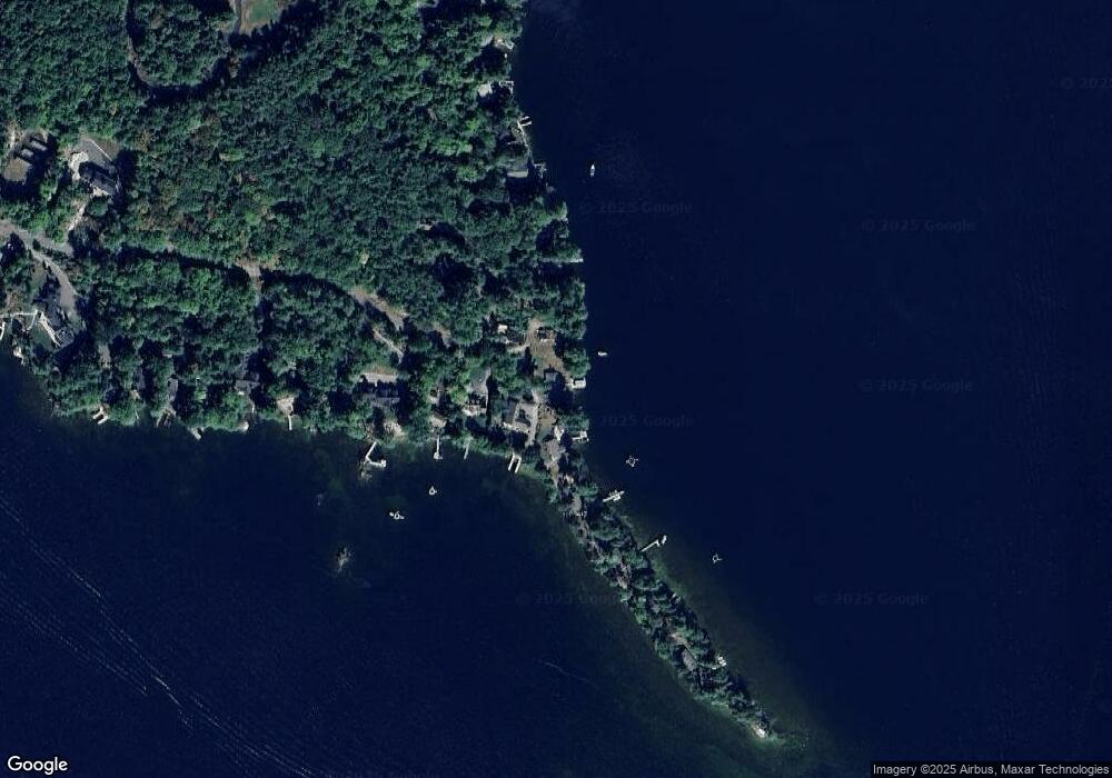
Map
- 31 Pitchwood Island
- 27 Pitchwood Island
- 4 Cummings Cove Rd
- 15 Cummings Cove Rd
- 81 Old Hubbard Rd
- 4 Ledley Ln
- 728 Scenic Rd Unit 309
- 616 Scenic Rd Unit 106
- 616 Scenic Rd Unit 403
- 45 Stern Castle Place Unit 32
- 38 Stern Castle Place Unit 30
- 41 Happy Homes Rd
- 43 Happy Homes Rd
- 44 Centenary Ave
- 7 Baker Ave Unit 4
- 7 Baker Ave Unit 6
- 66 Needle Eye Rd
- 34 Deadreckoning Point
- 175 Akwa Vista
- U20/1 Pinnacle Park Rd
- 34 Observatory Rd
- 32 Observatory Rd
- 36 Observatory Rd
- 30 Observatory Rd
- 95 Spindle Point Rd
- 3 Lighthouse Point Rd
- 93 Spindle Point Rd
- 28 Observatory Rd
- 8 Lighthouse Point Rd
- 91 Spindle Point Rd
- 26 Observatory Rd
- 10 Lighthouse Point Rd
- 24 Observatory Rd
- 87 Spindle Point Rd
- 85 Spindle Point Rd
- 20 Observatory Rd
- 16 Lighthouse Point Rd
- 83 Spindle Point Rd
- 18 Observatory Rd
- 81 Spindle Point Rd
Ask me questions while you tour the home.