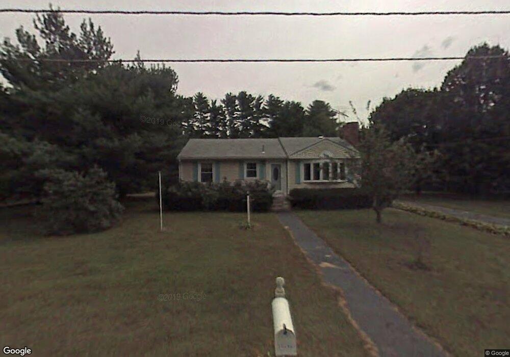
4 Lisa Terrace Pelham, NH 03076
Estimated Value: $500,000 - $538,000
3
Beds
2
Baths
1,265
Sq Ft
$409/Sq Ft
Est. Value
About This Home
This home is located at 4 Lisa Terrace, Pelham, NH 03076 and is currently estimated at $517,466, approximately $409 per square foot. 4 Lisa Terrace is a home with nearby schools including Pelham Elementary School, Pelham Memorial School, and Pelham High School.
Ownership History
Date
Name
Owned For
Owner Type
Purchase Details
Closed on
Jun 8, 2017
Sold by
Cover Raymond and Cover Cynthia
Bought by
Morrissette Ft
Current Estimated Value
Purchase Details
Closed on
Apr 9, 2012
Sold by
Cover Raymond and Cover Cynthia
Bought by
Cover Raymond and Cover Cynthia
Purchase Details
Closed on
Oct 24, 1994
Bought by
Raymond & C Cover Ft
Create a Home Valuation Report for This Property
The Home Valuation Report is an in-depth analysis detailing your home's value as well as a comparison with similar homes in the area
Home Values in the Area
Average Home Value in this Area
Purchase History
| Date | Buyer | Sale Price | Title Company |
|---|---|---|---|
| Morrissette Ft | $11,000 | -- | |
| Cover Raymond | -- | -- | |
| Raymond & C Cover Ft | $105,000 | -- |
Source: Public Records
Mortgage History
| Date | Status | Borrower | Loan Amount |
|---|---|---|---|
| Previous Owner | Raymond & C Cover Ft | $100,000 |
Source: Public Records
Tax History Compared to Growth
Tax History
| Year | Tax Paid | Tax Assessment Tax Assessment Total Assessment is a certain percentage of the fair market value that is determined by local assessors to be the total taxable value of land and additions on the property. | Land | Improvement |
|---|---|---|---|---|
| 2024 | $6,236 | $340,000 | $165,800 | $174,200 |
| 2023 | $6,185 | $340,000 | $165,800 | $174,200 |
| 2022 | $5,923 | $340,000 | $165,800 | $174,200 |
| 2021 | $5,426 | $340,000 | $165,800 | $174,200 |
| 2020 | $5,676 | $281,000 | $132,700 | $148,300 |
| 2019 | $5,426 | $279,700 | $132,700 | $147,000 |
| 2018 | $5,507 | $256,600 | $126,600 | $130,000 |
| 2017 | $5,511 | $256,900 | $126,900 | $130,000 |
| 2016 | $5,382 | $256,900 | $126,900 | $130,000 |
| 2015 | $5,287 | $227,300 | $120,800 | $106,500 |
| 2014 | $4,993 | $218,300 | $120,800 | $97,500 |
| 2013 | $4,993 | $218,300 | $120,800 | $97,500 |
Source: Public Records
Map
Nearby Homes
- 63 Marsh Rd
- 5 Stephanie Dr
- 4 Haystack Cir
- 10 Dutton Rd
- 436 Mammoth Rd
- 1 Currier Rd
- 508 Mammoth Rd
- 446 Mammoth Rd
- 10 Oakland Ridge Rd Unit 11
- 290 Mammoth Rd
- 59 Thistlewood Dr Unit 47
- 50 Dutton Rd
- 1 Redwood Rd
- 25 Misty Ln
- 45 Hobbs Rd
- 71 Deer Hill Cir
- 9 Cornstalk Ln
- 2 S Shore Dr
- 73 Mammoth Rd Unit A&B
- 73 Mammoth Rd