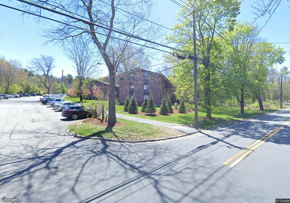
4 Longwood Dr Unit 9 Andover, MA 01810
Shawsheen Heights NeighborhoodEstimated Value: $352,000 - $388,000
2
Beds
1
Bath
1,156
Sq Ft
$318/Sq Ft
Est. Value
About This Home
This home is located at 4 Longwood Dr Unit 9, Andover, MA 01810 and is currently estimated at $367,890, approximately $318 per square foot. 4 Longwood Dr Unit 9 is a home located in Essex County with nearby schools including West Elementary School, Andover West Middle School, and Andover High School.
Ownership History
Date
Name
Owned For
Owner Type
Purchase Details
Closed on
Jul 29, 2024
Sold by
Armary Llc
Bought by
Bradley Ashley E
Current Estimated Value
Home Financials for this Owner
Home Financials are based on the most recent Mortgage that was taken out on this home.
Original Mortgage
$250,000
Outstanding Balance
$246,717
Interest Rate
6.87%
Mortgage Type
New Conventional
Estimated Equity
$121,173
Purchase Details
Closed on
Nov 6, 2020
Sold by
Jin Song and Lu Jun
Bought by
Armary Llc
Purchase Details
Closed on
Jul 28, 2005
Sold by
Fiske Robert J and Fiske Elaine P
Bought by
Jin Song and Lu Jun
Home Financials for this Owner
Home Financials are based on the most recent Mortgage that was taken out on this home.
Original Mortgage
$182,400
Interest Rate
5.67%
Mortgage Type
Purchase Money Mortgage
Create a Home Valuation Report for This Property
The Home Valuation Report is an in-depth analysis detailing your home's value as well as a comparison with similar homes in the area
Home Values in the Area
Average Home Value in this Area
Purchase History
| Date | Buyer | Sale Price | Title Company |
|---|---|---|---|
| Bradley Ashley E | $350,000 | None Available | |
| Armary Llc | $275,000 | None Available | |
| Armary Llc | $275,000 | None Available | |
| Jin Song | $228,000 | -- | |
| Jin Song | $228,000 | -- |
Source: Public Records
Mortgage History
| Date | Status | Borrower | Loan Amount |
|---|---|---|---|
| Open | Bradley Ashley E | $250,000 | |
| Previous Owner | Jin Song | $182,400 |
Source: Public Records
Tax History Compared to Growth
Tax History
| Year | Tax Paid | Tax Assessment Tax Assessment Total Assessment is a certain percentage of the fair market value that is determined by local assessors to be the total taxable value of land and additions on the property. | Land | Improvement |
|---|---|---|---|---|
| 2024 | $3,646 | $283,100 | $0 | $283,100 |
| 2023 | $3,493 | $255,700 | $0 | $255,700 |
| 2022 | $3,593 | $246,100 | $0 | $246,100 |
| 2021 | $3,508 | $229,400 | $0 | $229,400 |
| 2020 | $3,284 | $218,800 | $0 | $218,800 |
| 2019 | $3,043 | $199,300 | $0 | $199,300 |
| 2018 | $2,868 | $183,400 | $0 | $183,400 |
| 2017 | $2,644 | $174,200 | $0 | $174,200 |
| 2016 | $2,463 | $166,200 | $0 | $166,200 |
| 2015 | $2,332 | $155,800 | $0 | $155,800 |
Source: Public Records
Map
Nearby Homes
- 1 Longwood Dr Unit 105
- 170 Haverhill St Unit 138
- 156 High St
- 88 Kingston St
- 2 Kingston St Unit 2
- 156 Kingston St Unit 156
- 105 Elm St Unit A
- 20 Walnut Ave
- 32 Lucerne Dr
- 6 Windsor St
- 70 Farrwood Ave Unit 7
- 2 Powder Mill Square Unit 2B
- 180 Chickering Rd Unit 310C
- 75 Edgelawn Ave Unit 1
- 124 Quail Run Rd
- 136 Quail Run Rd
- 52 Fernview Ave Unit 7
- 40 Fernview Ave Unit 11
- 42 Stevens St
- 23 Fernview Ave Unit 1
- 4 Longwood Dr Unit 10
- 4 Longwood Dr Unit 6
- 4 Longwood Dr Unit 5
- 4 Longwood Dr Unit 2
- 4 Longwood Dr Unit 1
- 4 Longwood Dr Unit 4
- 4 Longwood Dr Unit 409
- 4 Longwood Dr Unit 3
- 4 Longwood Dr Unit 5 (409)
- 2 Longwood Dr Unit 12
- 2 Longwood Dr Unit 11
- 2 Longwood Dr Unit 8
- 2 Longwood Dr Unit 7
- 2 Longwood Dr Unit 4
- 2 Longwood Dr Unit 3
- 2 Longwood Dr Unit 408
- 2 Longwood Dr Unit 2
- 2 Longwood Dr Unit 2,2
- 6 Longwood Dr Unit 2 (304)
- 6 Longwood Dr Unit 12