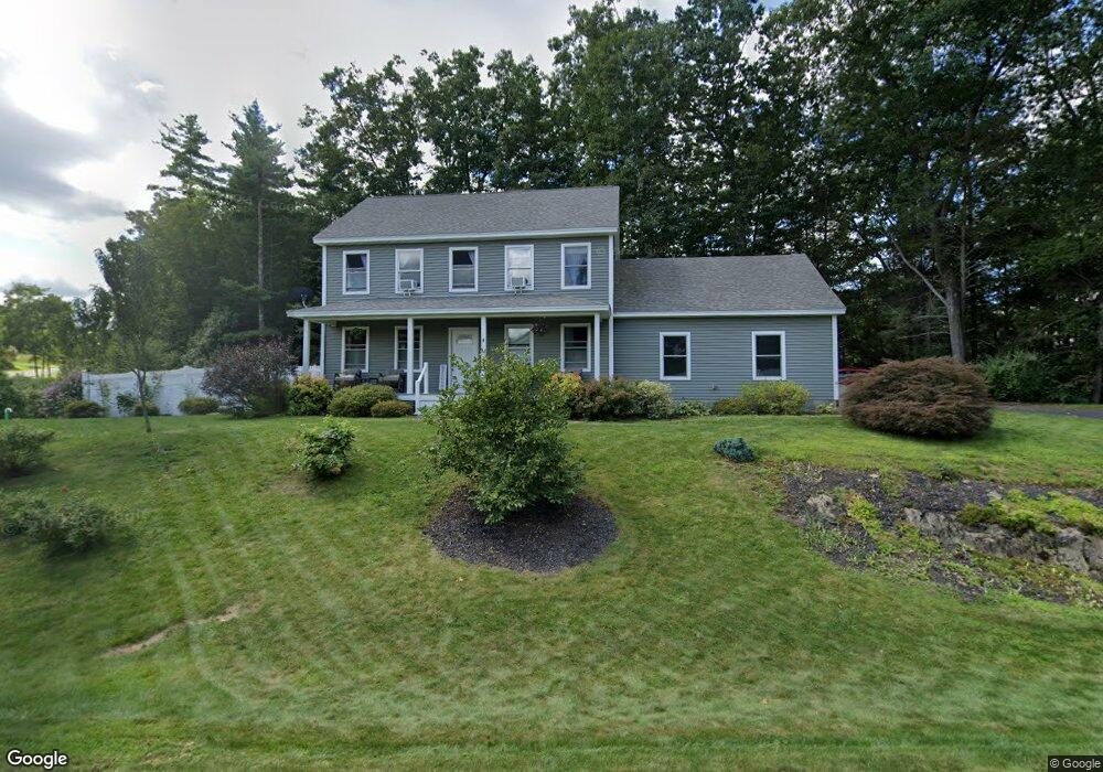
4 Macintosh Ln Epping, NH 03042
Estimated Value: $635,853 - $724,000
3
Beds
3
Baths
1,768
Sq Ft
$383/Sq Ft
Est. Value
About This Home
This home is located at 4 Macintosh Ln, Epping, NH 03042 and is currently estimated at $676,963, approximately $382 per square foot. 4 Macintosh Ln is a home with nearby schools including Epping Elementary School, Epping Middle School, and Epping High School.
Ownership History
Date
Name
Owned For
Owner Type
Purchase Details
Closed on
Aug 31, 2011
Sold by
Matte Home Builders Ll
Bought by
Burleigh Sue A and Turcotte Robin M
Current Estimated Value
Home Financials for this Owner
Home Financials are based on the most recent Mortgage that was taken out on this home.
Original Mortgage
$278,047
Outstanding Balance
$192,753
Interest Rate
4.52%
Mortgage Type
Purchase Money Mortgage
Estimated Equity
$484,210
Create a Home Valuation Report for This Property
The Home Valuation Report is an in-depth analysis detailing your home's value as well as a comparison with similar homes in the area
Home Values in the Area
Average Home Value in this Area
Purchase History
| Date | Buyer | Sale Price | Title Company |
|---|---|---|---|
| Burleigh Sue A | $285,300 | -- | |
| Burleigh Sue A | $285,300 | -- |
Source: Public Records
Mortgage History
| Date | Status | Borrower | Loan Amount |
|---|---|---|---|
| Open | Burleigh Sue A | $278,047 | |
| Closed | Burleigh Sue A | $278,047 |
Source: Public Records
Tax History
| Year | Tax Paid | Tax Assessment Tax Assessment Total Assessment is a certain percentage of the fair market value that is determined by local assessors to be the total taxable value of land and additions on the property. | Land | Improvement |
|---|---|---|---|---|
| 2024 | $9,360 | $371,000 | $109,900 | $261,100 |
| 2023 | $8,677 | $370,800 | $109,900 | $260,900 |
| 2022 | $8,339 | $370,800 | $109,900 | $260,900 |
| 2021 | $8,313 | $370,800 | $109,900 | $260,900 |
| 2020 | $8,766 | $370,800 | $109,900 | $260,900 |
| 2019 | $7,922 | $286,000 | $83,600 | $202,400 |
| 2018 | $7,419 | $286,000 | $83,600 | $202,400 |
| 2017 | $7,419 | $286,000 | $83,600 | $202,400 |
| 2016 | $7,419 | $286,000 | $83,600 | $202,400 |
| 2015 | $7,312 | $281,900 | $83,600 | $198,300 |
| 2014 | $6,598 | $270,200 | $75,700 | $194,500 |
| 2013 | $6,558 | $270,200 | $75,700 | $194,500 |
Source: Public Records
Map
Nearby Homes
- lot 103 Megans Way Unit 103
- lot 95 Megans Way Unit 95
- 1 Olde Bridge Ln
- 100 Megans Way
- 101 Megans Way Unit 101
- 96 Megans Way
- 97 Megans Way Unit 97
- 277 Prescott Rd
- 104 Olde Bridge Ln
- 27 Old State Rd
- 5A Connor Ct Unit 5A
- 3B Connor Ct Unit 3B
- 55 Sunset Ridge Rd Unit 55A
- 55 Sunset Ridge Rd Unit 55B
- 54 Sunset Ridge Rd Unit 54B
- 9B Connor Ct Unit 9B
- 3A Connor Ct Unit 3A
- 1A Connor Ct Unit 1A
- 5B Connor Ct Unit 5B
- 9A Connor Ct Unit 9A
- 47 Cider St
- 15 Echo Farm Dr
- 15 Echo Farm Dr Unit 7
- 21 Echo Farm Dr Unit 10
- 16 Echo Farm Dr Unit 13
- 14 Echo Farm Dr Unit 14
- 15 Echo Farm Dr Unit 15
- 45 Cider St
- 45 Cider St
- 44 Cider St
- Lot 53 Prescott Orchards
- 54 Cider St
- 4 Cortland Dr
- 12 Macintosh Ln
- 56 Cider St
- 57 Cider St
- 5 Cortland Dr
- 7 Apple Way
- 60 Cider St
- 61 Cider St