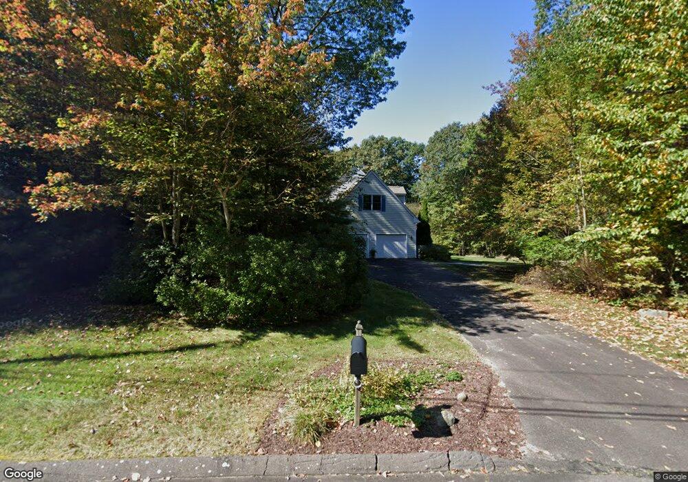
4 Mt Laurel Dr Tolland, CT 06084
Estimated Value: $426,000 - $516,000
4
Beds
3
Baths
2,474
Sq Ft
$192/Sq Ft
Est. Value
About This Home
This home is located at 4 Mt Laurel Dr, Tolland, CT 06084 and is currently estimated at $475,767, approximately $192 per square foot. 4 Mt Laurel Dr is a home located in Tolland County with nearby schools including Birch Grove Primary School, Tolland Intermediate School, and Tolland Middle School.
Ownership History
Date
Name
Owned For
Owner Type
Purchase Details
Closed on
Mar 22, 2024
Sold by
Gallo Steven and Gallo Madeline A
Bought by
Labranche Kirsten J
Current Estimated Value
Home Financials for this Owner
Home Financials are based on the most recent Mortgage that was taken out on this home.
Original Mortgage
$355,500
Outstanding Balance
$349,881
Interest Rate
6.9%
Mortgage Type
Stand Alone Refi Refinance Of Original Loan
Estimated Equity
$125,886
Purchase Details
Closed on
Sep 23, 1998
Sold by
Stephen D Williams Co
Bought by
Gallo Steven and Gallo Madeline
Create a Home Valuation Report for This Property
The Home Valuation Report is an in-depth analysis detailing your home's value as well as a comparison with similar homes in the area
Home Values in the Area
Average Home Value in this Area
Purchase History
| Date | Buyer | Sale Price | Title Company |
|---|---|---|---|
| Labranche Kirsten J | $395,000 | None Available | |
| Labranche Kirsten J | $395,000 | None Available | |
| Labranche Kirsten J | $395,000 | None Available | |
| Gallo Steven | $258,900 | -- | |
| Gallo Steven | $258,900 | -- |
Source: Public Records
Mortgage History
| Date | Status | Borrower | Loan Amount |
|---|---|---|---|
| Open | Labranche Kirsten J | $355,500 | |
| Closed | Labranche Kirsten J | $355,500 | |
| Previous Owner | Gallo Steven | $203,000 | |
| Previous Owner | Gallo Steven | $20,000 | |
| Previous Owner | Gallo Steven | $275,000 |
Source: Public Records
Tax History Compared to Growth
Tax History
| Year | Tax Paid | Tax Assessment Tax Assessment Total Assessment is a certain percentage of the fair market value that is determined by local assessors to be the total taxable value of land and additions on the property. | Land | Improvement |
|---|---|---|---|---|
| 2025 | $5,375 | $197,700 | $77,600 | $120,100 |
| 2024 | $5,401 | $143,000 | $73,900 | $69,100 |
| 2023 | $5,338 | $143,000 | $73,900 | $69,100 |
| 2022 | $5,231 | $143,000 | $73,900 | $69,100 |
| 2021 | $5,307 | $143,000 | $73,900 | $69,100 |
| 2020 | $8,147 | $226,000 | $73,900 | $152,100 |
| 2019 | $8,392 | $232,800 | $76,200 | $156,600 |
| 2018 | $8,148 | $232,800 | $76,200 | $156,600 |
| 2017 | $7,959 | $232,800 | $76,200 | $156,600 |
| 2016 | $7,959 | $232,800 | $76,200 | $156,600 |
| 2015 | $7,766 | $232,800 | $76,200 | $156,600 |
| 2014 | $7,623 | $245,500 | $84,600 | $160,900 |
Source: Public Records
Map
Nearby Homes
- 644 Buff Cap Rd
- 0 Tolland Turnpike
- 745 Old Stafford Rd
- 487 Buff Cap Rd
- 8 Neff Hill Rd
- 15 Usher Ridge
- 68 Usher Ridge
- 36 Usher Ridge
- 110 Neff Hill Rd
- 130 Neff Hill Rd
- 105 Neff Hill Rd
- 137 Neff Hill Rd
- 100 Neff Hill Rd
- 77 Neff Hill Rd
- 84 Neff Hill Rd
- 71 Neff Hill Rd
- 42 Ladd Rd
- 100 Wildwood Rd
- 65 Blair Rd
- 127 Sandy Beach Rd
- 4 Mountain Laurel Dr
- 5 Mt Laurel Dr
- 5 Mountain Laurel Dr
- 94 Charles St
- 20 Mt Laurel Dr
- 105 Charles St
- 20 Mountain Laurel Dr
- 19 Mt Laurel Dr
- 19 Deerwood Rd
- 121 Charles St
- 122 Charles St
- 95 Charles St
- 35 Deerwood Rd
- 27 Deerwood Rd
- 129 Charles St
- 18 Deerwood Rd
- 28 Mt Laurel Dr
- 28 Mountain Laurel Dr
- 7 Deerwood Rd
- 27 Mt Laurel Dr