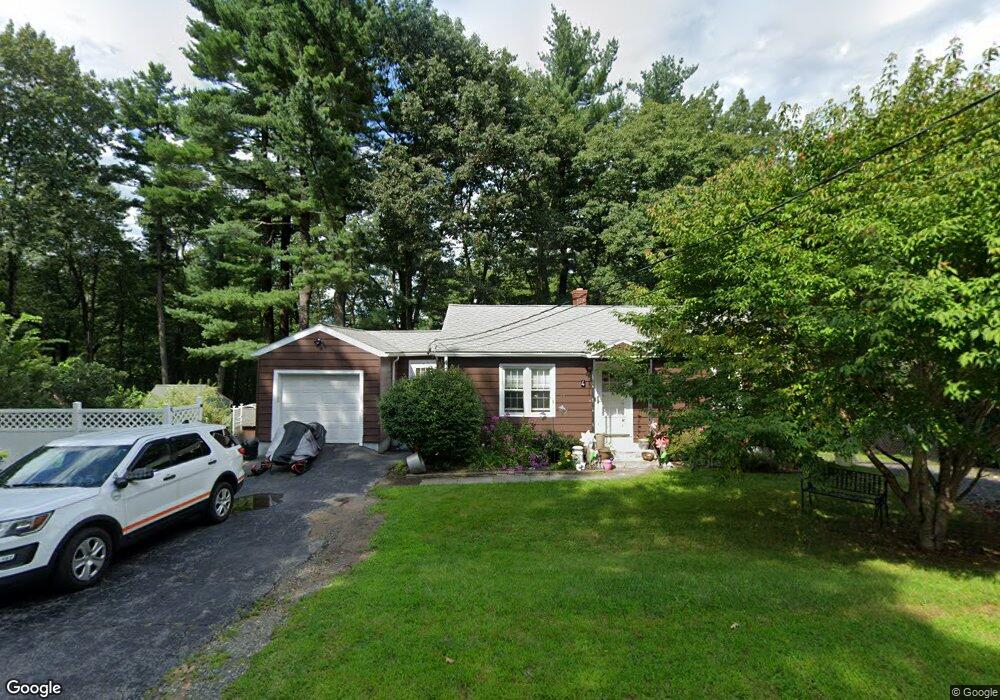
4 Nevada Dr West Boylston, MA 01583
Estimated Value: $356,910 - $379,000
2
Beds
1
Bath
816
Sq Ft
$457/Sq Ft
Est. Value
About This Home
This home is located at 4 Nevada Dr, West Boylston, MA 01583 and is currently estimated at $372,728, approximately $456 per square foot. 4 Nevada Dr is a home located in Worcester County with nearby schools including Major Edwards Elementary School, West Boylston Junior/Senior High School, and Abby Kelley Foster Charter Public School.
Ownership History
Date
Name
Owned For
Owner Type
Purchase Details
Closed on
Jun 29, 2007
Sold by
Erickson Barbara and Kimball Beatrice C
Bought by
Goodwin Barbara A and Goodwin Kenneth W
Current Estimated Value
Home Financials for this Owner
Home Financials are based on the most recent Mortgage that was taken out on this home.
Original Mortgage
$148,000
Outstanding Balance
$91,241
Interest Rate
6.24%
Mortgage Type
Purchase Money Mortgage
Estimated Equity
$281,487
Create a Home Valuation Report for This Property
The Home Valuation Report is an in-depth analysis detailing your home's value as well as a comparison with similar homes in the area
Home Values in the Area
Average Home Value in this Area
Purchase History
| Date | Buyer | Sale Price | Title Company |
|---|---|---|---|
| Goodwin Barbara A | $185,000 | -- |
Source: Public Records
Mortgage History
| Date | Status | Borrower | Loan Amount |
|---|---|---|---|
| Open | Goodwin Barbara A | $148,000 |
Source: Public Records
Tax History Compared to Growth
Tax History
| Year | Tax Paid | Tax Assessment Tax Assessment Total Assessment is a certain percentage of the fair market value that is determined by local assessors to be the total taxable value of land and additions on the property. | Land | Improvement |
|---|---|---|---|---|
| 2025 | $39 | $282,000 | $102,200 | $179,800 |
| 2024 | $3,915 | $264,900 | $102,200 | $162,700 |
| 2023 | $3,918 | $251,500 | $101,400 | $150,100 |
| 2022 | $3,828 | $216,500 | $101,400 | $115,100 |
| 2021 | $3,755 | $203,400 | $98,200 | $105,200 |
| 2020 | $3,757 | $202,200 | $98,200 | $104,000 |
| 2019 | $3,583 | $190,100 | $98,200 | $91,900 |
| 2018 | $3,452 | $184,400 | $98,200 | $86,200 |
| 2017 | $3,164 | $168,300 | $98,200 | $70,100 |
| 2016 | $3,053 | $165,500 | $91,600 | $73,900 |
| 2015 | $3,032 | $165,300 | $90,600 | $74,700 |
Source: Public Records
Map
Nearby Homes
- 622 Shrewsbury St
- 93 Winfield Rd
- 83 Stoneleigh Rd
- 15 Lowell Ave
- 39 Davidson Rd
- 55 Meola Ave
- 44 Dixfield St
- 20 Hawthorne Dr
- 39 Meola Ave
- 33 Meola Ave
- 47 Preservation Ln
- 26 Danielles Way
- 22 Danielles Way
- 29 Isleboro St
- 1 Highland Ave
- 1097 W Boylston St
- 1110 W Boylston St Unit A
- 12 Birchbrush Ln
- 32 Whispering Pine Cir Unit 32
- 6 Lanesboro Rd
- 6 Nevada Dr
- 5 Nevada Dr
- 8 Nevada Dr
- 15 Parker St
- 15 Parker St
- 28 Parker St
- 115 Wyoming Dr
- 118 Wyoming Dr
- 11 Parker St
- 65 Anderson Ave
- 101 Wyoming Dr
- 114 Wyoming Dr
- 464 Prospect St
- 464 Prospect St Unit 1
- 464 Prospect St
- 464 Prospect St Unit 464
- 468 Prospect St
- 29 Parker St
- 108 Wyoming Dr
- 64 Anderson Ave