4 Nicholas Cir Andover, MA 01810
Far West Andover NeighborhoodEstimated Value: $1,084,672 - $1,266,000
4
Beds
3
Baths
2,688
Sq Ft
$445/Sq Ft
Est. Value
About This Home
This home is located at 4 Nicholas Cir, Andover, MA 01810 and is currently estimated at $1,197,418, approximately $445 per square foot. 4 Nicholas Cir is a home located in Essex County with nearby schools including High Plain Elementary School, Wood Hill Middle School, and Willow River Secondary School.
Ownership History
Date
Name
Owned For
Owner Type
Purchase Details
Closed on
Aug 3, 2021
Sold by
Brown Paul R and Brown Patricia
Bought by
Owen and Owen Samantha T
Current Estimated Value
Purchase Details
Closed on
Jan 31, 2007
Sold by
Morgan Timothy J
Bought by
Brown Paul R and Brown Patricia
Purchase Details
Closed on
Aug 25, 1992
Sold by
Barrett William K
Bought by
Morgan Timothy J
Purchase Details
Closed on
Jun 11, 1992
Sold by
Cairns Glenn D
Bought by
Barrett William K
Create a Home Valuation Report for This Property
The Home Valuation Report is an in-depth analysis detailing your home's value as well as a comparison with similar homes in the area
Home Values in the Area
Average Home Value in this Area
Purchase History
| Date | Buyer | Sale Price | Title Company |
|---|---|---|---|
| Owen | -- | None Available | |
| Owen | -- | None Available | |
| Brown Paul R | $632,500 | -- | |
| Brown Paul R | $632,500 | -- | |
| Morgan Timothy J | $245,000 | -- | |
| Morgan Timothy J | $245,000 | -- | |
| Barrett William K | $110,000 | -- | |
| Barrett William K | $110,000 | -- |
Source: Public Records
Mortgage History
| Date | Status | Borrower | Loan Amount |
|---|---|---|---|
| Previous Owner | Barrett William K | $340,000 | |
| Previous Owner | Barrett William K | $345,000 |
Source: Public Records
Tax History Compared to Growth
Tax History
| Year | Tax Paid | Tax Assessment Tax Assessment Total Assessment is a certain percentage of the fair market value that is determined by local assessors to be the total taxable value of land and additions on the property. | Land | Improvement |
|---|---|---|---|---|
| 2024 | $12,298 | $954,800 | $458,800 | $496,000 |
| 2023 | $11,484 | $840,700 | $392,200 | $448,500 |
| 2022 | $11,004 | $753,700 | $353,500 | $400,200 |
| 2021 | $10,553 | $690,200 | $321,500 | $368,700 |
| 2020 | $10,274 | $684,500 | $321,500 | $363,000 |
| 2019 | $10,084 | $660,400 | $303,500 | $356,900 |
| 2018 | $9,758 | $623,900 | $294,800 | $329,100 |
| 2017 | $9,369 | $617,200 | $289,200 | $328,000 |
| 2016 | $9,397 | $634,100 | $304,200 | $329,900 |
| 2015 | $9,226 | $616,300 | $304,200 | $312,100 |
Source: Public Records
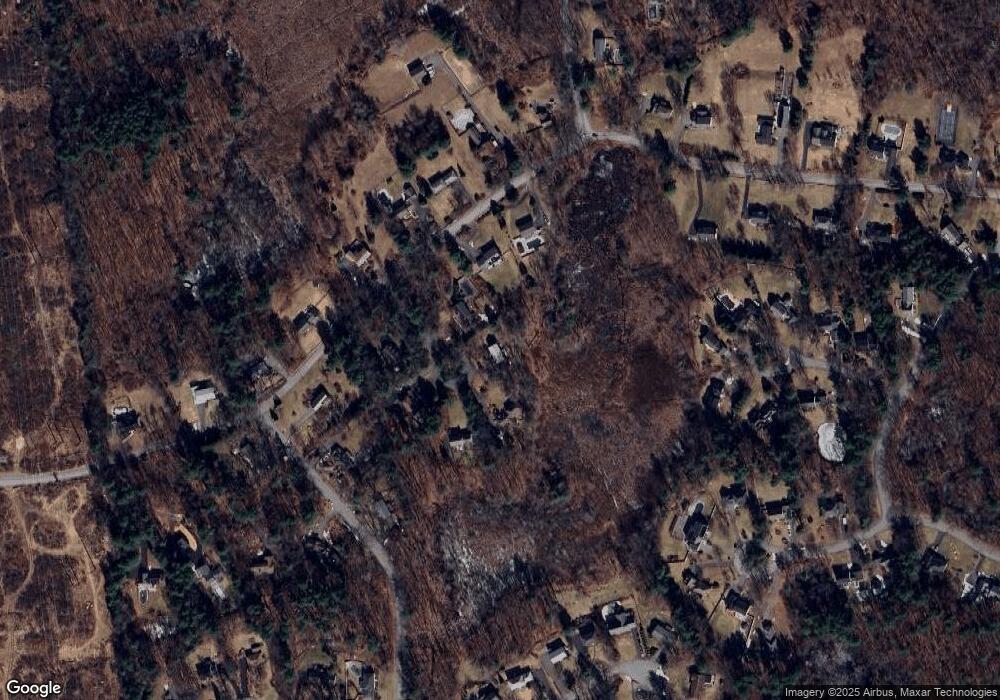
Map
Nearby Homes
- 2 Francis Dr Unit 412
- 4 Francis Dr Unit 105
- 2 Francis Dr Unit 213
- 4 Francis Dr Unit 207
- 78 Deering Dr
- 1563 Andover St Unit 18
- 995 North St
- 2 Nollet Dr
- 821 Merrimack Ave
- 31 Varnum Ave
- 322 River Rd
- 14 Mount Pleasant Ave
- 51 Bellevue Ave
- 470 Trull Rd
- 22 Haggetts Pond Rd
- 78 Merrimack Meadows Ln Unit 78
- 1170 Livingston St
- 11 Merrimack Meadows Ln Unit 17
- 173 Merrimack Meadows Ln Unit 162
- 820 Methuen St Unit 820