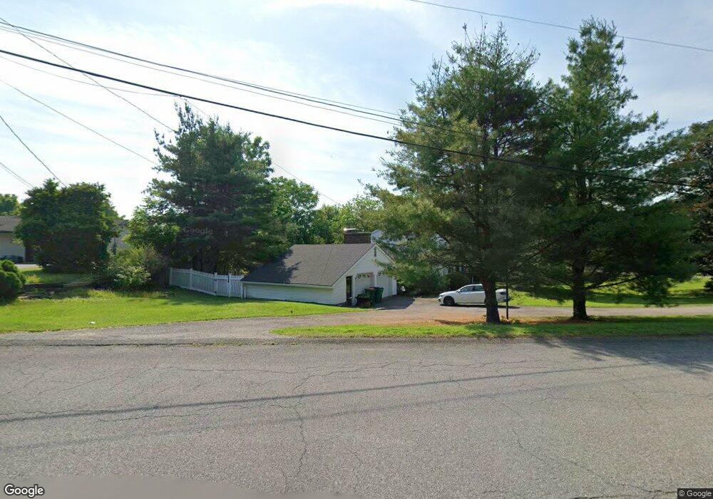
4 Partners Trace Poughkeepsie, NY 12603
Estimated Value: $544,000 - $632,000
4
Beds
3
Baths
2,362
Sq Ft
$242/Sq Ft
Est. Value
About This Home
This home is located at 4 Partners Trace, Poughkeepsie, NY 12603 and is currently estimated at $572,772, approximately $242 per square foot. 4 Partners Trace is a home located in Dutchess County with nearby schools including Vassar Road Elementary School, Kinry Road Elementary School, and Wappingers Junior High School.
Ownership History
Date
Name
Owned For
Owner Type
Purchase Details
Closed on
Mar 2, 2005
Sold by
Vought Margaret F
Bought by
Horton David
Current Estimated Value
Home Financials for this Owner
Home Financials are based on the most recent Mortgage that was taken out on this home.
Original Mortgage
$275,000
Outstanding Balance
$45,366
Interest Rate
5.66%
Mortgage Type
Purchase Money Mortgage
Estimated Equity
$527,406
Purchase Details
Closed on
Jan 25, 1999
Sold by
Creighton Donald J Anna Mar
Bought by
Vought Thurlow B and Vought Margaret F
Create a Home Valuation Report for This Property
The Home Valuation Report is an in-depth analysis detailing your home's value as well as a comparison with similar homes in the area
Home Values in the Area
Average Home Value in this Area
Purchase History
| Date | Buyer | Sale Price | Title Company |
|---|---|---|---|
| Horton David | $425,000 | Annemarie Addeo | |
| Vought Thurlow B | $175,000 | -- |
Source: Public Records
Mortgage History
| Date | Status | Borrower | Loan Amount |
|---|---|---|---|
| Open | Horton David | $275,000 |
Source: Public Records
Tax History
| Year | Tax Paid | Tax Assessment Tax Assessment Total Assessment is a certain percentage of the fair market value that is determined by local assessors to be the total taxable value of land and additions on the property. | Land | Improvement |
|---|---|---|---|---|
| 2024 | $10,210 | $309,400 | $59,000 | $250,400 |
| 2023 | $13,742 | $309,400 | $59,000 | $250,400 |
| 2019 | $7,786 | $309,400 | $59,000 | $250,400 |
Source: Public Records
Map
Nearby Homes
- 2 Partners Trace
- 2 Partners Trace
- 27 Partners Trace
- 14 Partners Trace
- 14 Partners Trace
- 3 Partners Trace
- 3 Partners Trace
- 6 Partners Trace
- 25 Partners Trace
- 5 Partners Trace
- 5 Partners Trace
- 23 Partners Trace
- 246 Titusville Rd
- 23 Partners Trace
- 8 Partners Trace
- 230 Titusville Rd
- 2 Clover Hill Dr
- 7 Partners Trace
- 12 Partners Trace
- 2 Daley Rd
Your Personal Tour Guide
Ask me questions while you tour the home.