4 Red Pine Rd Meredith, NH 03253
Estimated Value: $701,000 - $2,484,000
3
Beds
5
Baths
2,352
Sq Ft
$529/Sq Ft
Est. Value
About This Home
This home is located at 4 Red Pine Rd, Meredith, NH 03253 and is currently estimated at $1,243,099, approximately $528 per square foot. 4 Red Pine Rd is a home located in Belknap County with nearby schools including Inter-Lakes Elementary School, Sandwich Central School, and Inter-Lakes Middle High School.
Ownership History
Date
Name
Owned For
Owner Type
Purchase Details
Closed on
Dec 10, 2020
Sold by
Doyon Raymond M and Doyon Cynthia S
Bought by
Doyon Ft
Current Estimated Value
Purchase Details
Closed on
Aug 18, 2003
Sold by
Andrews Michael and Andrews Maria
Bought by
Doyon Raymond M and Doyon Cynthia S
Home Financials for this Owner
Home Financials are based on the most recent Mortgage that was taken out on this home.
Original Mortgage
$160,000
Interest Rate
5.46%
Create a Home Valuation Report for This Property
The Home Valuation Report is an in-depth analysis detailing your home's value as well as a comparison with similar homes in the area
Home Values in the Area
Average Home Value in this Area
Purchase History
| Date | Buyer | Sale Price | Title Company |
|---|---|---|---|
| Doyon Ft | -- | None Available | |
| Doyon Raymond M | $310,000 | -- |
Source: Public Records
Mortgage History
| Date | Status | Borrower | Loan Amount |
|---|---|---|---|
| Previous Owner | Doyon Raymond M | $160,000 |
Source: Public Records
Tax History
| Year | Tax Paid | Tax Assessment Tax Assessment Total Assessment is a certain percentage of the fair market value that is determined by local assessors to be the total taxable value of land and additions on the property. | Land | Improvement |
|---|---|---|---|---|
| 2024 | $6,549 | $638,300 | $241,100 | $397,200 |
| 2023 | $6,313 | $638,300 | $241,100 | $397,200 |
| 2022 | $5,880 | $420,900 | $123,100 | $297,800 |
| 2021 | $5,653 | $420,900 | $123,100 | $297,800 |
| 2020 | $5,853 | $417,500 | $123,100 | $294,400 |
| 2019 | $5,859 | $368,700 | $99,400 | $269,300 |
| 2018 | $5,759 | $368,700 | $99,400 | $269,300 |
| 2016 | $5,229 | $335,400 | $82,600 | $252,800 |
| 2015 | $4,457 | $293,200 | $82,600 | $210,600 |
| 2014 | $4,332 | $292,100 | $82,600 | $209,500 |
| 2013 | $4,209 | $292,100 | $82,600 | $209,500 |
Source: Public Records
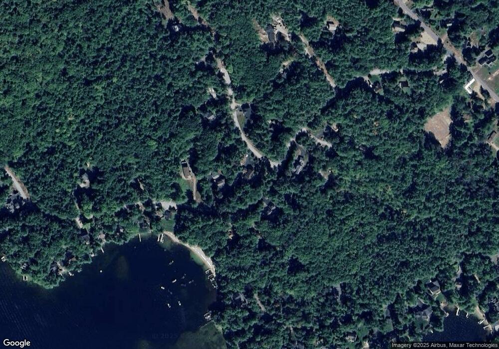
Map
Nearby Homes
- 4 Cummings Cove Rd
- Lot 21 Cummings Cove Rd
- 75 Neal Shore Rd
- 39 Lake Country Rd
- 11 Quimby Rd
- 9 Westbury Rd
- Lot 12-5 Needle Eye Rd
- 29 S Watch Rd
- 45 Stern Castle Place Unit 32
- 37
- 38 Stern Castle Place Unit 30
- 12 Needle Eye Rd
- UNIT 41 Stonewall Corners Way Unit 41
- 616 Scenic Rd Unit 404
- 598 Scenic Rd Unit 2
- 18 Bay Ridge Dr
- 6 Windjammer's Ridge
- 34 Deadreckoning Point
- UNIT 48 Stonewall Corners Way Unit 48
- 23 Deadreckoning Point
- 188 Pinnacle Park Rd
- 6 Red Pine Rd
- 67 Red Pine Rd
- 193 Pinnacle Park Rd
- 200 Pinnacle Park Rd
- 197 Pinnacle Park Rd
- 195 Pinnacle Park Rd
- 195 Pinnacle Ridge Rd
- 184 Pinnacle Park Rd
- 10 Red Pine Rd
- 191 Pinnacle Park Rd
- 9 Red Pine Rd
- 189 Pinnacle Park Rd
- 0 Red Pine Rd Unit Lot 66
- 5 Pine Cone Ln
- 66 Red Pine Rd
- 12 Red Pine Rd
- 183 Pinnacle Park Rd
- 2 Pine Cone Ln
- 6 White Pine Rd
Your Personal Tour Guide
Ask me questions while you tour the home.