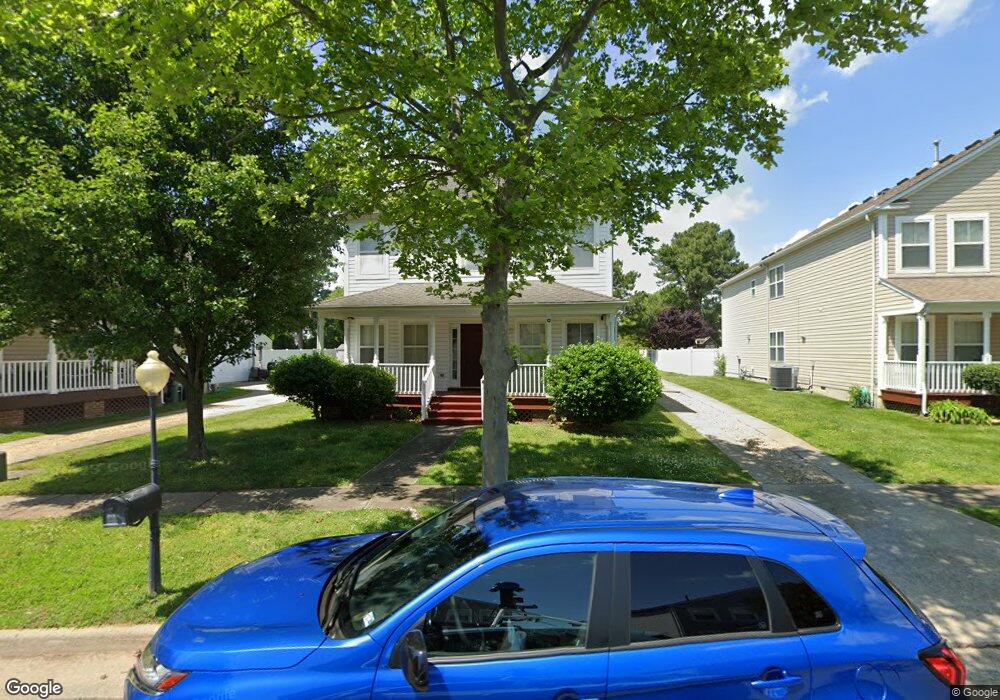
4 Regal Way Hampton, VA 23669
Newtown-Crown Point NeighborhoodEstimated Value: $388,000 - $440,000
4
Beds
3
Baths
2,500
Sq Ft
$165/Sq Ft
Est. Value
About This Home
This home is located at 4 Regal Way, Hampton, VA 23669 and is currently estimated at $411,946, approximately $164 per square foot. 4 Regal Way is a home located in Hampton City with nearby schools including Hunter B. Andrews PK-8 School, C. Alton Lindsay Middle School, and Phoebus High School.
Ownership History
Date
Name
Owned For
Owner Type
Purchase Details
Closed on
Dec 13, 2002
Sold by
Princess Anne Bldrs Inc
Bought by
Townes Kevin
Current Estimated Value
Home Financials for this Owner
Home Financials are based on the most recent Mortgage that was taken out on this home.
Original Mortgage
$183,968
Outstanding Balance
$78,625
Interest Rate
6.17%
Mortgage Type
FHA
Estimated Equity
$333,321
Create a Home Valuation Report for This Property
The Home Valuation Report is an in-depth analysis detailing your home's value as well as a comparison with similar homes in the area
Home Values in the Area
Average Home Value in this Area
Purchase History
| Date | Buyer | Sale Price | Title Company |
|---|---|---|---|
| Townes Kevin | $185,900 | -- |
Source: Public Records
Mortgage History
| Date | Status | Borrower | Loan Amount |
|---|---|---|---|
| Open | Townes Kevin | $183,968 |
Source: Public Records
Tax History Compared to Growth
Tax History
| Year | Tax Paid | Tax Assessment Tax Assessment Total Assessment is a certain percentage of the fair market value that is determined by local assessors to be the total taxable value of land and additions on the property. | Land | Improvement |
|---|---|---|---|---|
| 2025 | $4,226 | $389,300 | $84,000 | $305,300 |
| 2024 | $4,226 | $367,500 | $82,000 | $285,500 |
| 2023 | $4,118 | $355,000 | $80,000 | $275,000 |
| 2022 | $4,099 | $347,400 | $78,000 | $269,400 |
| 2021 | $3,533 | $274,400 | $70,100 | $204,300 |
| 2020 | $3,259 | $262,800 | $70,100 | $192,700 |
| 2019 | $3,280 | $264,500 | $70,100 | $194,400 |
| 2018 | $3,224 | $252,400 | $70,100 | $182,300 |
| 2017 | $3,224 | $0 | $0 | $0 |
| 2016 | $3,224 | $252,400 | $0 | $0 |
| 2015 | $3,224 | $0 | $0 | $0 |
| 2014 | $3,354 | $263,700 | $70,100 | $193,600 |
Source: Public Records
Map
Nearby Homes
- 17 Somerset Ln
- 4017 Buchanan Dr
- 4006 Monitor Dr
- 12 Fleetwood Ave
- 4204 Kecoughtan Rd
- 15 Henry St
- 113 Clyde St
- 106 Clyde St
- 29 Moss Ave
- 32 W Sunset Rd
- 19 Capps Quarters
- 15 Victor St
- 117 Barksdale Rd
- 3822 Victoria Blvd
- 3611 Matoaka Rd
- 17 Palmerston Dr
- 241 Newport News Ave
- 243 Newport News Ave
- 3749 Chesapeake Ave
- 326 Brightwood Ave