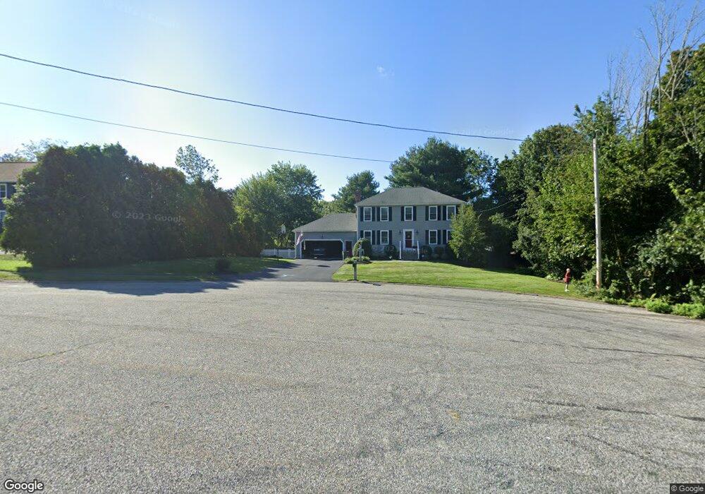
4 Sandy Ln Franklin, MA 02038
Estimated Value: $713,000 - $776,000
4
Beds
3
Baths
1,976
Sq Ft
$380/Sq Ft
Est. Value
About This Home
This home is located at 4 Sandy Ln, Franklin, MA 02038 and is currently estimated at $749,963, approximately $379 per square foot. 4 Sandy Ln is a home located in Norfolk County with nearby schools including Gerald M. Parmenter Elementary School, Remington Middle School, and Franklin High School.
Ownership History
Date
Name
Owned For
Owner Type
Purchase Details
Closed on
Sep 24, 2013
Sold by
Leo Christopher J and Leo Jane M
Bought by
Leo Rt
Current Estimated Value
Purchase Details
Closed on
Aug 24, 2005
Sold by
Moody David A and Bucko Patricia A
Bought by
Leo Christopher and Leo Jane M
Create a Home Valuation Report for This Property
The Home Valuation Report is an in-depth analysis detailing your home's value as well as a comparison with similar homes in the area
Purchase History
| Date | Buyer | Sale Price | Title Company |
|---|---|---|---|
| Leo Rt | -- | -- | |
| Leo Christopher | $492,500 | -- |
Source: Public Records
Tax History
| Year | Tax Paid | Tax Assessment Tax Assessment Total Assessment is a certain percentage of the fair market value that is determined by local assessors to be the total taxable value of land and additions on the property. | Land | Improvement |
|---|---|---|---|---|
| 2025 | $8,153 | $701,600 | $328,200 | $373,400 |
| 2024 | $8,110 | $687,900 | $328,200 | $359,700 |
| 2023 | $7,830 | $622,400 | $279,800 | $342,600 |
| 2022 | $7,299 | $519,500 | $220,300 | $299,200 |
| 2021 | $7,146 | $487,800 | $247,300 | $240,500 |
| 2020 | $6,769 | $466,500 | $237,200 | $229,300 |
| 2019 | $6,686 | $456,100 | $227,100 | $229,000 |
| 2018 | $6,235 | $425,600 | $219,000 | $206,600 |
| 2017 | $5,968 | $409,300 | $202,700 | $206,600 |
| 2016 | $6,031 | $415,900 | $217,600 | $198,300 |
| 2015 | $6,010 | $405,000 | $206,700 | $198,300 |
| 2014 | $5,487 | $379,700 | $181,400 | $198,300 |
Source: Public Records
Map
Nearby Homes
- 139 King St Unit 306
- 82 Uncas Ave
- 82 Uncas Ave Unit 1
- 80 Uncas Ave
- 66 Uncas Ave
- 68 Uncas Ave
- 76 Uncas Ave
- 64 Uncas Ave
- 99 Summer St
- 62 Uncas Ave
- 1 Washington St
- 374-378 Union St
- 3 Washington St
- 0 Fall Ln
- 90 E Central St Unit 103
- 90 E Central St Unit 106
- 90 E Central St Unit 304
- 90 E Central St Unit 202
- 90 E Central St Unit 105
- 90 E Central St Unit 301
Your Personal Tour Guide
Ask me questions while you tour the home.