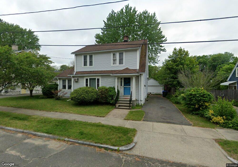
40 Ashbrook St Springfield, MA 01118
East Forest Park NeighborhoodEstimated Value: $317,413 - $335,000
3
Beds
1
Bath
1,538
Sq Ft
$214/Sq Ft
Est. Value
About This Home
This home is located at 40 Ashbrook St, Springfield, MA 01118 and is currently estimated at $329,603, approximately $214 per square foot. 40 Ashbrook St is a home located in Hampden County with nearby schools including Mary A. Dryden Veterans Memorial School, M Marcus Kiley Middle, and Springfield High School of Science and Technology.
Ownership History
Date
Name
Owned For
Owner Type
Purchase Details
Closed on
Jan 11, 2007
Sold by
Gula Christine M
Bought by
Gula Stanley J
Current Estimated Value
Home Financials for this Owner
Home Financials are based on the most recent Mortgage that was taken out on this home.
Original Mortgage
$22,500
Outstanding Balance
$13,423
Interest Rate
6.18%
Mortgage Type
Purchase Money Mortgage
Estimated Equity
$316,180
Purchase Details
Closed on
Jan 12, 1984
Bought by
Gula Stanley J
Create a Home Valuation Report for This Property
The Home Valuation Report is an in-depth analysis detailing your home's value as well as a comparison with similar homes in the area
Home Values in the Area
Average Home Value in this Area
Purchase History
| Date | Buyer | Sale Price | Title Company |
|---|---|---|---|
| Gula Stanley J | -- | -- | |
| Gula Stanley J | $65,000 | -- |
Source: Public Records
Mortgage History
| Date | Status | Borrower | Loan Amount |
|---|---|---|---|
| Open | Gula Stanley J | $22,500 |
Source: Public Records
Tax History Compared to Growth
Tax History
| Year | Tax Paid | Tax Assessment Tax Assessment Total Assessment is a certain percentage of the fair market value that is determined by local assessors to be the total taxable value of land and additions on the property. | Land | Improvement |
|---|---|---|---|---|
| 2025 | $4,445 | $283,500 | $47,000 | $236,500 |
| 2024 | $3,800 | $236,600 | $47,000 | $189,600 |
| 2023 | $3,795 | $222,600 | $44,700 | $177,900 |
| 2022 | $3,952 | $210,000 | $44,700 | $165,300 |
| 2021 | $3,597 | $190,300 | $40,700 | $149,600 |
| 2020 | $3,122 | $184,100 | $40,700 | $143,400 |
| 2019 | $3,014 | $184,200 | $40,700 | $143,500 |
| 2018 | $3,446 | $175,100 | $40,700 | $134,400 |
| 2017 | $3,250 | $165,300 | $40,700 | $124,600 |
| 2016 | $3,201 | $162,800 | $40,700 | $122,100 |
| 2015 | $3,196 | $162,500 | $40,700 | $121,800 |
Source: Public Records
Map
Nearby Homes
- 74 Oregon St
- 7 Ashbrook St
- 283 Plumtree Rd
- 91 Lancaster St
- 97 Lancaster St
- 190 Whittum Ave
- 141 Hartford Terrace
- 100 Derryfield Ave
- 384 Abbott St
- 138 Abbott St
- 134 Eddywood St
- 100 Abbott St
- 95 Benz St
- 54 S Shore Dr
- 19 Roosevelt Ave
- 16-18 Eddywood St
- 74 Judith St
- 24 Bangor St
- 236 Pondview Dr
- 13 Bither St
- 48 Ashbrook St
- 32 Ashbrook St
- 257 Roosevelt Ave
- 261 Roosevelt Ave
- 251 Roosevelt Ave
- 54 Ashbrook St
- 39 Ashbrook St
- 33 Ashbrook St
- 47 Ashbrook St
- 271 Roosevelt Ave
- 245 Roosevelt Ave
- 25 Ashbrook St
- 55 Ashbrook St
- 20 Ashbrook St
- 62 Ashbrook St
- 239 Roosevelt Ave
- 34 Oregon St
- 40 Oregon St
- 26 Oregon St
- 19 Ashbrook St