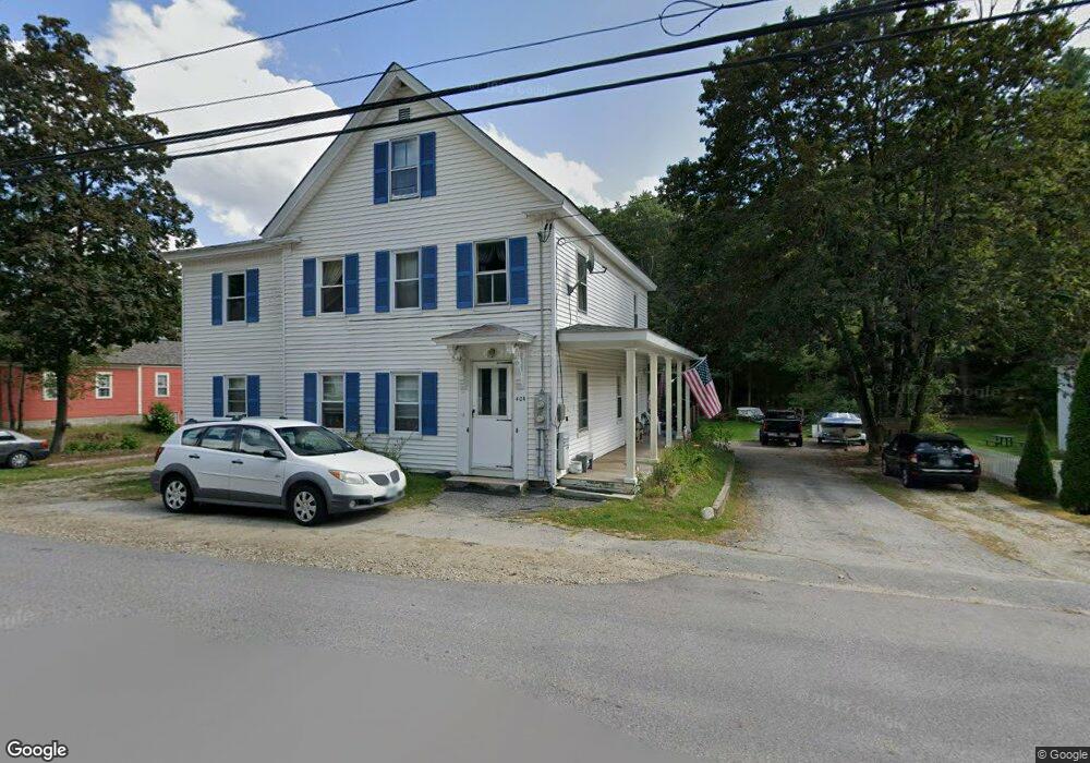
40 Burns Hill Rd Wilton, NH 03086
Estimated Value: $408,568 - $532,000
6
Beds
2
Baths
2,568
Sq Ft
$177/Sq Ft
Est. Value
About This Home
This home is located at 40 Burns Hill Rd, Wilton, NH 03086 and is currently estimated at $453,642, approximately $176 per square foot. 40 Burns Hill Rd is a home located in Hillsborough County with nearby schools including Florence Rideout Elementary School, Wilton-Lyndeborough Cooperative Middle School, and Wilton-Lyndeborough Cooperative High School.
Ownership History
Date
Name
Owned For
Owner Type
Purchase Details
Closed on
Sep 12, 2003
Sold by
Est Rich Kenneth W
Bought by
Cuddihy Kenneth and Cuddihy Victoria L
Current Estimated Value
Home Financials for this Owner
Home Financials are based on the most recent Mortgage that was taken out on this home.
Original Mortgage
$218,275
Interest Rate
6.22%
Create a Home Valuation Report for This Property
The Home Valuation Report is an in-depth analysis detailing your home's value as well as a comparison with similar homes in the area
Home Values in the Area
Average Home Value in this Area
Purchase History
| Date | Buyer | Sale Price | Title Company |
|---|---|---|---|
| Cuddihy Kenneth | $220,000 | -- |
Source: Public Records
Mortgage History
| Date | Status | Borrower | Loan Amount |
|---|---|---|---|
| Open | Cuddihy Kenneth | $9,734 | |
| Open | Cuddihy Kenneth | $273,847 | |
| Closed | Cuddihy Kenneth | $252,000 | |
| Closed | Cuddihy Kenneth | $218,275 |
Source: Public Records
Tax History Compared to Growth
Tax History
| Year | Tax Paid | Tax Assessment Tax Assessment Total Assessment is a certain percentage of the fair market value that is determined by local assessors to be the total taxable value of land and additions on the property. | Land | Improvement |
|---|---|---|---|---|
| 2024 | $7,170 | $288,300 | $92,100 | $196,200 |
| 2023 | $6,400 | $288,300 | $92,100 | $196,200 |
| 2022 | $5,956 | $288,300 | $92,100 | $196,200 |
| 2021 | $5,541 | $288,300 | $92,100 | $196,200 |
| 2020 | $4,993 | $169,900 | $68,600 | $101,300 |
| 2019 | $4,934 | $169,900 | $68,600 | $101,300 |
| 2018 | $4,886 | $169,900 | $68,600 | $101,300 |
| 2017 | $4,616 | $169,900 | $68,600 | $101,300 |
| 2016 | $4,475 | $169,900 | $68,600 | $101,300 |
| 2015 | $4,818 | $182,900 | $69,600 | $113,300 |
| 2014 | $4,719 | $182,900 | $69,600 | $113,300 |
| 2013 | $4,759 | $182,900 | $69,600 | $113,300 |
Source: Public Records
Map
Nearby Homes
- 27 Island St
- 10 Mill St
- 8 Maple St
- 81 Abbot Hill Acres
- 134 Falcon Ridge Rd Unit 23
- 88 McGettigan Rd Unit 88-6-1
- F-88-10 Aria Hill Dr
- F-88-11 Aria Hill Dr
- F-88-12 Aria Hill Dr
- F-88-7 Aria Hill Dr
- Lot F-88-9 Aria Hill Dr
- F/88-5 McGettigan Rd
- F/88-4 McGettigan Rd
- Lots 4 & 7 Gibbons & Robbins Rd
- 545 Elm St Unit 34
- 0 Marden Rd
- 59 Goldsmith Rd
- 60 Goldsmith Rd
- A 66 Burton Hwy
- 24 Glass Factory Rd
- 36 Burns Hill Rd
- 44 Burns Hill Rd
- 3 Highland Ct
- 48 Burns Hill Rd
- 3 Cleaves Way
- 54 Burns Hill Rd
- 8 Highland Ct
- 54 Burns Hill Rd *Rental*
- 14 Adrian Ave
- 35 Burns Hill Rd
- 10 Highland Ct
- 25 Burns Hill Rd
- 6 Cleaves Way
- 3 Gregoire Cir
- 18 Adrian Ave
- 17 Gregoire Cir
- 55 Burns Hill Rd
- 4 Barry Ct
- 5 Gregoire Cir
- 15 Gregoire Cir