40 Channing Rd Dedham, MA 02026
Dexter NeighborhoodEstimated Value: $2,161,418 - $2,836,000
6
Beds
5
Baths
5,807
Sq Ft
$435/Sq Ft
Est. Value
About This Home
This home is located at 40 Channing Rd, Dedham, MA 02026 and is currently estimated at $2,528,105, approximately $435 per square foot. 40 Channing Rd is a home located in Norfolk County with nearby schools including Riverdale Elementary School, Dedham Middle School, and Dedham High School.
Ownership History
Date
Name
Owned For
Owner Type
Purchase Details
Closed on
Nov 9, 2017
Sold by
Pratt Harold and Hamilton Gretchen K
Bought by
Slocum Jason and Slocum Caroline G
Current Estimated Value
Home Financials for this Owner
Home Financials are based on the most recent Mortgage that was taken out on this home.
Original Mortgage
$880,000
Outstanding Balance
$699,702
Interest Rate
3%
Mortgage Type
Purchase Money Mortgage
Estimated Equity
$1,828,403
Purchase Details
Closed on
Aug 6, 2012
Sold by
Pratt Marjorie E
Bought by
Pratt Harold I and Pratt Marjorie E
Purchase Details
Closed on
Mar 16, 1998
Sold by
Read Cameron and Read Gailan P
Bought by
Pratt Harold and Pratt Marjorie E
Create a Home Valuation Report for This Property
The Home Valuation Report is an in-depth analysis detailing your home's value as well as a comparison with similar homes in the area
Home Values in the Area
Average Home Value in this Area
Purchase History
| Date | Buyer | Sale Price | Title Company |
|---|---|---|---|
| Slocum Jason | $1,100,000 | -- | |
| Pratt Harold I | -- | -- | |
| Pratt Harold | -- | -- | |
| Pratt Harold | $812,000 | -- | |
| Pratt Harold I | $812,000 | -- |
Source: Public Records
Mortgage History
| Date | Status | Borrower | Loan Amount |
|---|---|---|---|
| Open | Slocum Jason | $880,000 | |
| Previous Owner | Pratt Harold I | $400,000 | |
| Previous Owner | Pratt Harold I | $200,000 |
Source: Public Records
Tax History
| Year | Tax Paid | Tax Assessment Tax Assessment Total Assessment is a certain percentage of the fair market value that is determined by local assessors to be the total taxable value of land and additions on the property. | Land | Improvement |
|---|---|---|---|---|
| 2025 | $25,338 | $2,007,800 | $567,600 | $1,440,200 |
| 2024 | $23,015 | $1,841,200 | $492,800 | $1,348,400 |
| 2023 | $20,367 | $1,586,200 | $426,400 | $1,159,800 |
| 2022 | $19,171 | $1,436,000 | $426,400 | $1,009,600 |
| 2021 | $17,513 | $1,281,100 | $386,400 | $894,700 |
| 2020 | $17,531 | $1,277,800 | $389,200 | $888,600 |
| 2019 | $15,132 | $1,069,400 | $410,000 | $659,400 |
| 2018 | $19,465 | $1,337,800 | $451,200 | $886,600 |
| 2017 | $16,288 | $1,103,500 | $358,400 | $745,100 |
| 2016 | $15,605 | $1,007,400 | $313,600 | $693,800 |
| 2015 | $16,617 | $1,047,100 | $413,200 | $633,900 |
| 2014 | $16,263 | $1,011,400 | $413,200 | $598,200 |
Source: Public Records
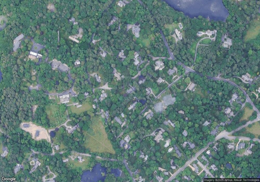
Map
Nearby Homes
- 47 Bemis Rd
- 20 Shuttleworth Place
- 20-35 Shuttleworth Place
- 35 Shuttleworth Place
- 570 Bridge St
- 37 Horrigan Dr Unit 1
- 1133 High
- 57 Horrigan Dr Unit 3
- 66 Horrigan Dr Unit 25
- 80 Horrigan Dr Unit 24
- 86 Horrigan Dr Unit 23
- 87 Horrigan Dr Unit 8
- 47 Village Ave Unit 203
- 262 Meadowbrook Rd
- 27 Pine St
- 44 Court St
- 165 Highland St Unit 165
- 147 Pine St
- 46 Church St
- 223 Robert Rd
Your Personal Tour Guide
Ask me questions while you tour the home.