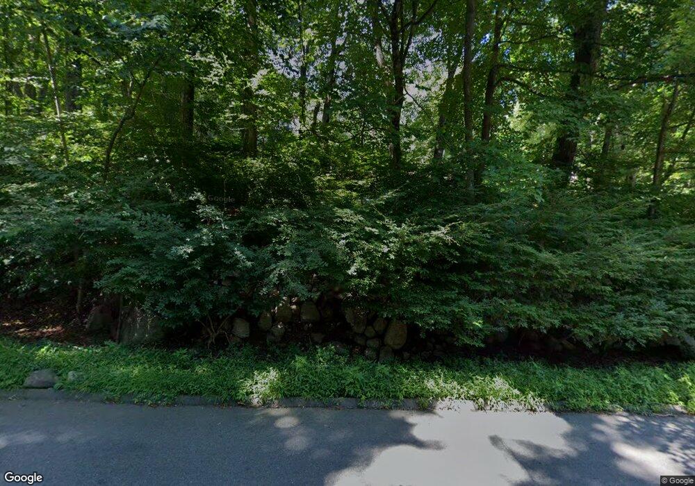
40 Cobbs Mill Rd Wilton, CT 06897
Estimated Value: $1,044,000 - $1,263,000
5
Beds
3
Baths
2,659
Sq Ft
$429/Sq Ft
Est. Value
About This Home
This home is located at 40 Cobbs Mill Rd, Wilton, CT 06897 and is currently estimated at $1,140,569, approximately $428 per square foot. 40 Cobbs Mill Rd is a home located in Fairfield County with nearby schools including Miller-Driscoll School, Cider Mill School, and Middlebrook School.
Ownership History
Date
Name
Owned For
Owner Type
Purchase Details
Closed on
Jun 14, 2013
Sold by
Strandberg August A and Strandberg Carol G
Bought by
Fusaro Justin R and Fusaro Dearta L
Current Estimated Value
Home Financials for this Owner
Home Financials are based on the most recent Mortgage that was taken out on this home.
Original Mortgage
$597,738
Outstanding Balance
$439,265
Interest Rate
4.25%
Mortgage Type
FHA
Estimated Equity
$701,304
Create a Home Valuation Report for This Property
The Home Valuation Report is an in-depth analysis detailing your home's value as well as a comparison with similar homes in the area
Home Values in the Area
Average Home Value in this Area
Purchase History
| Date | Buyer | Sale Price | Title Company |
|---|---|---|---|
| Fusaro Justin R | $547,251 | -- |
Source: Public Records
Mortgage History
| Date | Status | Borrower | Loan Amount |
|---|---|---|---|
| Open | Fusaro Justin R | $597,738 | |
| Previous Owner | Fusaro Justin R | $324,000 |
Source: Public Records
Tax History Compared to Growth
Tax History
| Year | Tax Paid | Tax Assessment Tax Assessment Total Assessment is a certain percentage of the fair market value that is determined by local assessors to be the total taxable value of land and additions on the property. | Land | Improvement |
|---|---|---|---|---|
| 2025 | $15,923 | $652,330 | $290,850 | $361,480 |
| 2024 | $15,617 | $652,330 | $290,850 | $361,480 |
| 2023 | $14,616 | $499,520 | $278,110 | $221,410 |
| 2022 | $14,101 | $499,520 | $278,110 | $221,410 |
| 2021 | $13,922 | $499,520 | $278,110 | $221,410 |
| 2020 | $13,717 | $499,520 | $278,110 | $221,410 |
| 2019 | $5,764 | $499,520 | $278,110 | $221,410 |
| 2018 | $13,067 | $463,540 | $292,740 | $170,800 |
| 2017 | $5,793 | $463,540 | $292,740 | $170,800 |
| 2016 | $12,673 | $463,540 | $292,740 | $170,800 |
| 2015 | $12,437 | $463,540 | $292,740 | $170,800 |
| 2014 | $12,288 | $463,540 | $292,740 | $170,800 |
Source: Public Records
Map
Nearby Homes
- 76 Sturges Ridge Rd
- 41 Calvin Rd
- 55 Liberty St
- 113 Rivergate Dr
- 110 Dudley Rd
- 14 Langner Ln
- 4 Trails End Rd
- 214 Good Hill Rd
- 4 Good Hill Rd
- 15 Mountain View Dr
- 76 Lords Hwy
- 28 Old Orchard Dr
- 27 Rogues Ridge
- 20 Wilton Crest Unit 20
- 84 Wilton Crest Rd Unit 84
- 15 River Rd Unit STE 210
- 5 Village Walk
- 39 Tannery Ln S
- 136 Lyons Plain Rd
- 25 Hermit Ln
- 50 Cobbs Mill Rd
- 27 Overidge Ln
- 36 Sturges Ridge Rd
- 27 Cobbs Mill Rd
- 21 Overidge Ln
- 48 Sturges Ridge Rd
- 51 Cobbs Mill Rd
- 37 Cobbs Mill Rd
- 54 Cobbs Mill Rd
- 19 Cobbs Mill Rd
- 12 Cobbs Mill Rd
- 17 Overidge Ln
- 19 Overidge Ln
- 40 Sturges Ridge Rd
- 66 Old Mill Rd
- 11 Cobbs Mill Rd
- 63 Old Mill Rd
- 56 Cobbs Mill Rd
- 70 Old Mill Rd
- 50 Sturges Ridge Rd
