40 Curtis Rd Freeport, ME 04032
Estimated Value: $483,282 - $560,000
4
Beds
2
Baths
1,503
Sq Ft
$343/Sq Ft
Est. Value
About This Home
This home is located at 40 Curtis Rd, Freeport, ME 04032 and is currently estimated at $514,821, approximately $342 per square foot. 40 Curtis Rd is a home with nearby schools including Morse Street School, Mast Landing School, and Freeport Middle School.
Create a Home Valuation Report for This Property
The Home Valuation Report is an in-depth analysis detailing your home's value as well as a comparison with similar homes in the area
Home Values in the Area
Average Home Value in this Area
Tax History
| Year | Tax Paid | Tax Assessment Tax Assessment Total Assessment is a certain percentage of the fair market value that is determined by local assessors to be the total taxable value of land and additions on the property. | Land | Improvement |
|---|---|---|---|---|
| 2025 | $4,866 | $351,300 | $159,900 | $191,400 |
| 2024 | $4,588 | $343,700 | $152,300 | $191,400 |
| 2023 | $4,186 | $304,400 | $138,400 | $166,000 |
| 2022 | $3,995 | $292,700 | $126,700 | $166,000 |
| 2021 | $3,908 | $292,700 | $126,700 | $166,000 |
| 2020 | $3,787 | $270,500 | $117,500 | $153,000 |
| 2019 | $3,647 | $255,000 | $110,900 | $144,100 |
| 2018 | $3,556 | $236,300 | $101,300 | $135,000 |
| 2017 | $3,407 | $227,900 | $99,100 | $128,800 |
| 2016 | $3,365 | $213,000 | $93,500 | $119,500 |
Source: Public Records
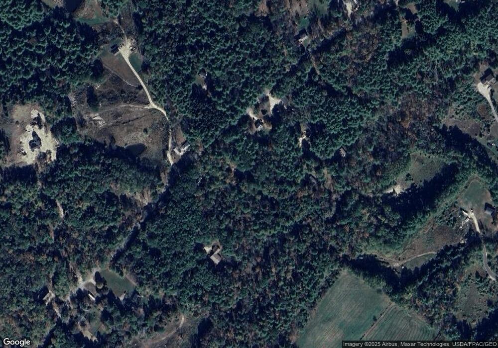
Map
Nearby Homes
- 64 Wardtown Rd
- 42A Wardtown Rd
- 2 Renee Rd
- 21 Renee Rd
- 8 Statler Ln
- 1 Wardtown Rd
- 1260 Us Route 1
- 4 Harper's Trail
- 10 Prout Rd
- 0 Prout Rd
- 42 Durham Rd
- 15 Tinkers Way
- 10 Durham Rd
- 16 Piper Farm Rd
- 304 Pownal Rd
- 11 Orchard Hill Rd
- 253 Quaker Meeting House Rd
- 39 Hunter Rd
- 15 Linwood Rd Unit 15
- Lot 9 Little Fawn Ln
Your Personal Tour Guide
Ask me questions while you tour the home.