40 Fife Ct Eastham, MA 2642
Estimated Value: $317,000 - $708,347
--
Bed
--
Bath
--
Sq Ft
1.17
Acres
About This Home
This home is located at 40 Fife Ct, Eastham, MA 2642 and is currently estimated at $489,587. 40 Fife Ct is a home located in Barnstable County with nearby schools including Eastham Elementary School, Nauset Regional Middle School, and Nauset Regional High School.
Ownership History
Date
Name
Owned For
Owner Type
Purchase Details
Closed on
Mar 25, 2025
Sold by
T F & Susana K Ohara Lt and Ohara
Bought by
Tucker David and Tucker Krista
Current Estimated Value
Purchase Details
Closed on
Jul 17, 2024
Sold by
Susana K Ohara Lt and Ohara
Bought by
T F & Susana K Ohara Lt and Ohara
Purchase Details
Closed on
Mar 8, 2011
Sold by
Ohara Thomas F and Ohara Susana K
Bought by
Ohara Susana K and Susana K Ohara Living
Purchase Details
Closed on
Feb 27, 2009
Sold by
Donald G Fife T G and Donald Fife
Bought by
Ohara Susana K and Ohara Thomas F
Create a Home Valuation Report for This Property
The Home Valuation Report is an in-depth analysis detailing your home's value as well as a comparison with similar homes in the area
Home Values in the Area
Average Home Value in this Area
Purchase History
| Date | Buyer | Sale Price | Title Company |
|---|---|---|---|
| Tucker David | $375,000 | None Available | |
| Tucker David | $375,000 | None Available | |
| T F & Susana K Ohara Lt | -- | None Available | |
| T F & Susana K Ohara Lt | -- | None Available | |
| T F & Susana K Ohara Lt | -- | None Available | |
| Ohara Susana K | -- | -- | |
| Ohara Susana K | -- | -- | |
| Ohara Susana K | $300,000 | -- | |
| Ohara Susana K | $300,000 | -- |
Source: Public Records
Tax History Compared to Growth
Tax History
| Year | Tax Paid | Tax Assessment Tax Assessment Total Assessment is a certain percentage of the fair market value that is determined by local assessors to be the total taxable value of land and additions on the property. | Land | Improvement |
|---|---|---|---|---|
| 2025 | $2,198 | $285,100 | $285,100 | $0 |
| 2024 | $1,940 | $276,800 | $276,800 | $0 |
| 2023 | $1,856 | $256,300 | $256,300 | $0 |
| 2022 | $1,964 | $228,900 | $228,900 | $0 |
| 2021 | $1,909 | $208,000 | $208,000 | $0 |
| 2020 | $2,036 | $233,500 | $233,500 | $0 |
| 2019 | $1,956 | $237,100 | $237,100 | $0 |
| 2018 | $1,922 | $230,200 | $230,200 | $0 |
| 2017 | $1,782 | $225,600 | $225,600 | $0 |
| 2016 | $1,898 | $255,100 | $255,100 | $0 |
| 2015 | $1,775 | $250,000 | $250,000 | $0 |
Source: Public Records
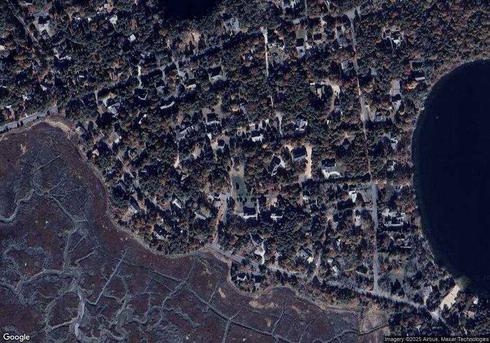
Map
Nearby Homes
- 645 Samoset Rd
- 1295 Herring Brook Rd
- 10 Cartway N
- 180 Country Ln
- 4 Wood Duck Ln
- 1975 State Hwy Unit 3
- 1975 State Hwy Unit 5
- 1875 State Hwy
- 330 Hay Rd
- 20 White Pines Dr
- 45 Cranberry Cir
- 20 Boat Meadow Way
- 1061 State Hwy Unit 4
- 993 Intonti Way
- 995 Intonti Way
- 785 State Hwy Unit 9
- 45 Starlight Ln
- 10 Alston Ct
- 20 Redberry Ln
- 30 Cove Rd
- 30 Fife Ct
- 700 Herring Brook Rd
- 45 Heritage Hill Cir
- 50 Sands Rd
- 40 Sands Rd
- 20 Fife Ct
- 30 Sands Rd
- 40 Heritage Hill Cir
- 0 Sands Rd Unit 20B
- 680 Herring Brook Rd
- 22 Sands Rd
- 22 Sands Rd Unit 1
- 720 Herring Brook Rd
- 630 Herring Brook Rd
- 20 Sands Rd
- 20 Sands Rd Unit 2
- 60 Sands Rd
- 55 Sands Rd
- 45 Sands Rd
- 20 Sand's Unit 2