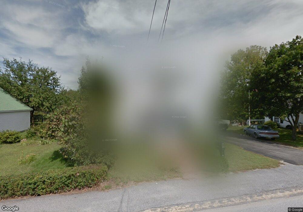
40 Granite St Allenstown, NH 03275
Suncook NeighborhoodEstimated Value: $336,000 - $413,000
3
Beds
1
Bath
1,229
Sq Ft
$308/Sq Ft
Est. Value
About This Home
This home is located at 40 Granite St, Allenstown, NH 03275 and is currently estimated at $378,799, approximately $308 per square foot. 40 Granite St is a home located in Merrimack County with nearby schools including Allenstown Elementary School, Armand R. Dupont School, and Tender Years Child Care & Learning Center.
Ownership History
Date
Name
Owned For
Owner Type
Purchase Details
Closed on
Mar 13, 2006
Sold by
Chapman Mary L
Bought by
Hamel Raymond Leo Jos and Hamel Jessica K
Current Estimated Value
Home Financials for this Owner
Home Financials are based on the most recent Mortgage that was taken out on this home.
Original Mortgage
$199,423
Interest Rate
6.15%
Create a Home Valuation Report for This Property
The Home Valuation Report is an in-depth analysis detailing your home's value as well as a comparison with similar homes in the area
Home Values in the Area
Average Home Value in this Area
Purchase History
| Date | Buyer | Sale Price | Title Company |
|---|---|---|---|
| Hamel Raymond Leo Jos | $201,000 | -- | |
| Hamel Raymond L | $201,000 | -- |
Source: Public Records
Mortgage History
| Date | Status | Borrower | Loan Amount |
|---|---|---|---|
| Open | Hamel Raymond Leo Jos | $196,211 | |
| Closed | Hamel Raymond L | $199,423 |
Source: Public Records
Tax History Compared to Growth
Tax History
| Year | Tax Paid | Tax Assessment Tax Assessment Total Assessment is a certain percentage of the fair market value that is determined by local assessors to be the total taxable value of land and additions on the property. | Land | Improvement |
|---|---|---|---|---|
| 2024 | $7,283 | $286,500 | $138,200 | $148,300 |
| 2023 | $6,074 | $286,500 | $138,200 | $148,300 |
| 2022 | $5,587 | $286,500 | $138,200 | $148,300 |
| 2021 | $5,654 | $179,500 | $78,800 | $100,700 |
| 2020 | $5,259 | $179,500 | $78,800 | $100,700 |
| 2019 | $5,582 | $179,500 | $78,800 | $100,700 |
| 2018 | $5,412 | $179,500 | $78,800 | $100,700 |
| 2017 | $5,764 | $179,500 | $78,800 | $100,700 |
| 2016 | $4,818 | $142,300 | $57,400 | $84,900 |
| 2015 | $4,672 | $142,300 | $57,400 | $84,900 |
| 2014 | $4,810 | $142,400 | $57,400 | $85,000 |
| 2013 | $4,490 | $142,400 | $57,400 | $85,000 |
Source: Public Records
Map
Nearby Homes
- 422 Dawn Dr Unit 23
- 427 Dawn Dr Unit 15
- 15 Main St
- 111 Glass St
- 1 1/2 Bartlett St
- 4 Rodger Rd
- 7 Ferry St
- 100 Main St Unit M10
- 100 Main St Unit 204
- 12-14 Church St Unit 12,14
- 19 Sullivan Dr
- 10 Lane Dr
- 2 Cheryl Dr
- 15 Sullivan Dr
- 307 Dearborn Rd
- 233 Pembroke St
- 1821 Hooksett Rd
- 259 Pembroke St
- 10 Winchester Ct
- 14 Manor Dr Unit D